MyTopo
Classic USGS Chokecherry Mountain Nevada 7.5'x7.5' Topo Map
Couldn't load pickup availability
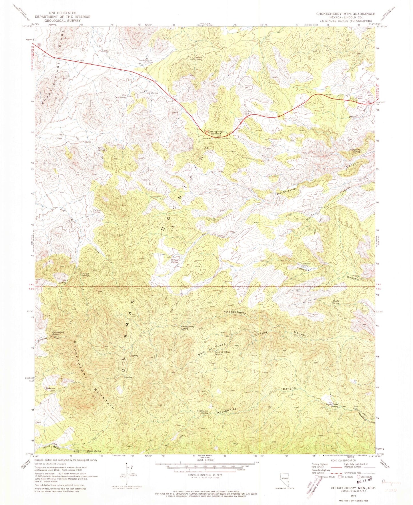
Historical USGS topographic quad map of Chokecherry Mountain in the state of Nevada. Map scale may vary for some years, but is generally around 1:24,000. Print size is approximately 24" x 27"
This quadrangle is in the following counties: Lincoln.
The map contains contour lines, roads, rivers, towns, and lakes. Printed on high-quality waterproof paper with UV fade-resistant inks, and shipped rolled.
Contains the following named places: Applewhite Canyon, Applewhite Spring, Balm of Gilead Canyon, Balm of Gilead Spring, Bird Spring, Buckboard Spring, Canyon Number Two Spring, Canyon Spring, Chalk Spring, Chokecherry Mountain, Chokecherry Spring, Colburn Spring, Cottonwood Spring, Coyote Spring, Cylone Spring, Moon Spring, Mule Spring, Nelson Spring, Oak Spring, Oak Springs Summit, Pine Spring, Robinson Seep, South Willow Spring, Taylor Mine, Taylor Mine Spring, Tyler Spring, West Oak Spring, Willow Spring