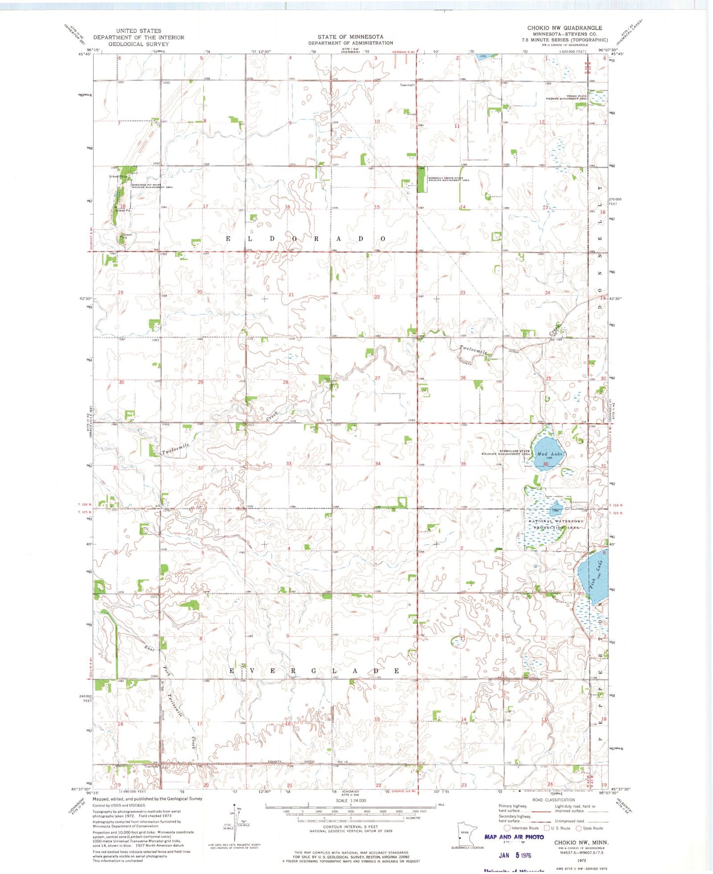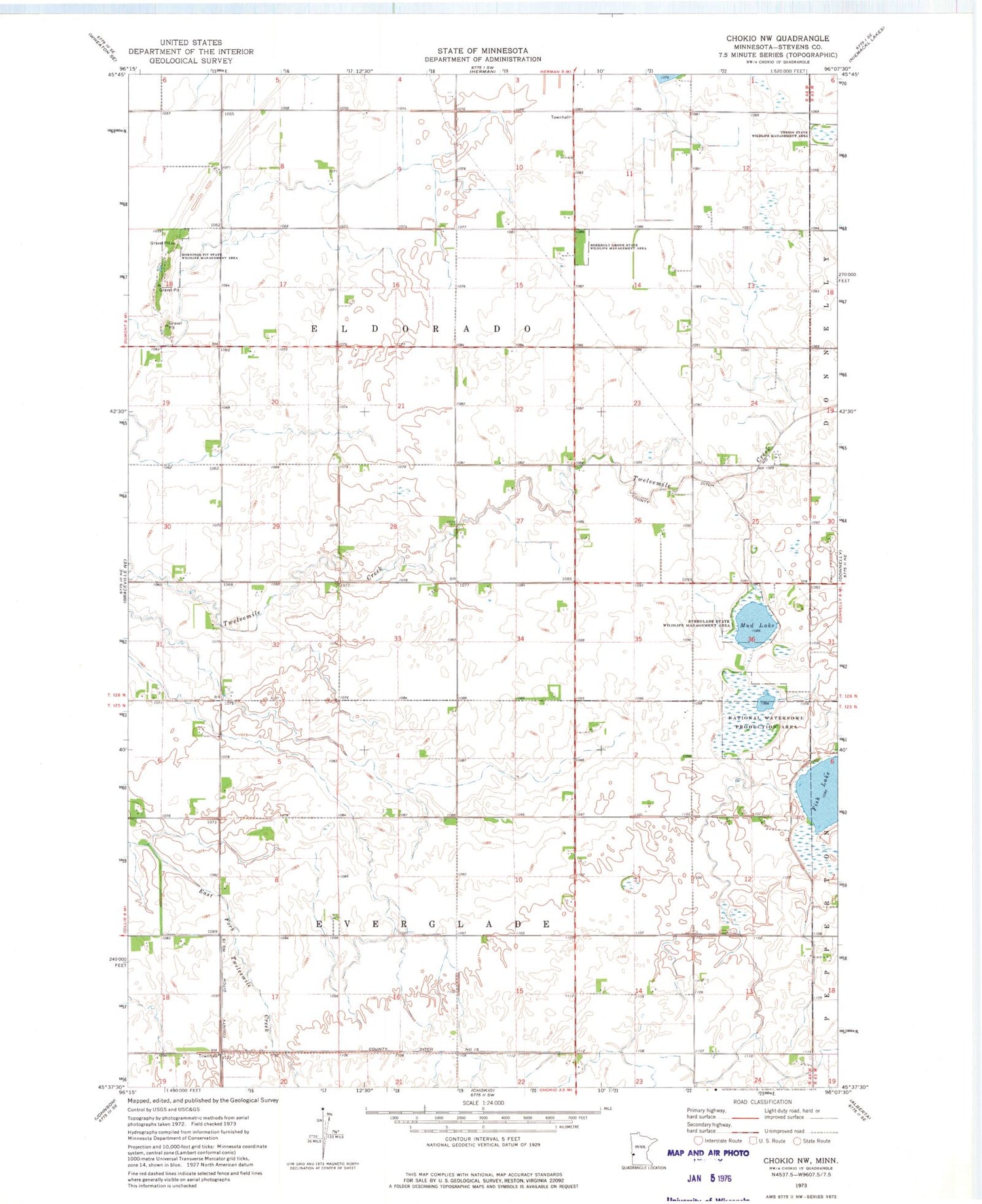
MyTopo
Classic USGS Chokio NW Minnesota 7.5'x7.5' Topo Map
Couldn't load pickup availability
Historical USGS topographic quad map of Chokio NW in the state of Minnesota. Map scale may vary for some years, but is generally around 1:24,000. Print size is approximately 24" x 27"
This quadrangle is in the following counties: Stevens.
The map contains contour lines, roads, rivers, towns, and lakes. Printed on high-quality waterproof paper with UV fade-resistant inks, and shipped rolled.
Contains the following named places: Boekholt Grove State Wildlife Management, Everglade State Wildlife Management Area, Fish Lake, Hornings Pit State Wildlife Management Ar, Mud Lake, School Number 35, School Number 43, School Number 46, School Number 51, School Number 61, School Number 68, Thedin State Wildlife Management Area, Township of Eldorado, Township of Everglade