MyTopo
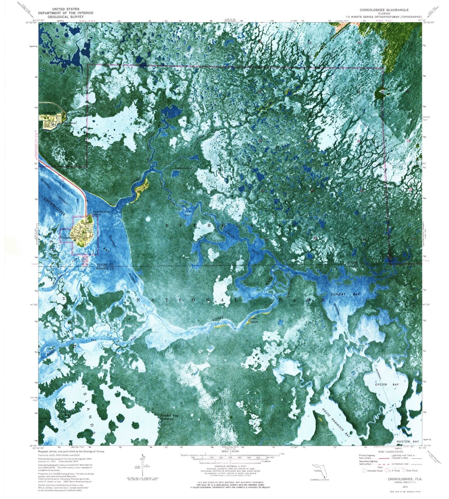
Classic USGS Chokoloskee Florida 7.5'x7.5' Topo Map
Couldn't load pickup availability
Historical USGS topographic quad map of Chokoloskee in the state of Florida. Map scale may vary for some years, but is generally around 1:24,000. Print size is approximately 24" x 27"
This quadrangle is in the following counties: Collier, Monroe.
The map contains contour lines, roads, rivers, towns, and lakes. Printed on high-quality waterproof paper with UV fade-resistant inks, and shipped rolled.
Contains the following named places: Barnes Creek, Chokoloskee, Chokoloskee Census Designated Place, Chokoloskee Island, Chokoloskee Post Office, Crooked Creek, Cross Bays, Hells Half Acre, House Hammock Bay, Hurddles Creek, Left Hand Turner River, Lopez River, Lumber Key, Mud Bay, New River, Oyster Bay, Plantation Island, Rabbit Key Grasses, Rabbit Key Pass, Rock Hole Key, Sunday Bay, Turner River, ZIP Code: 34138