MyTopo
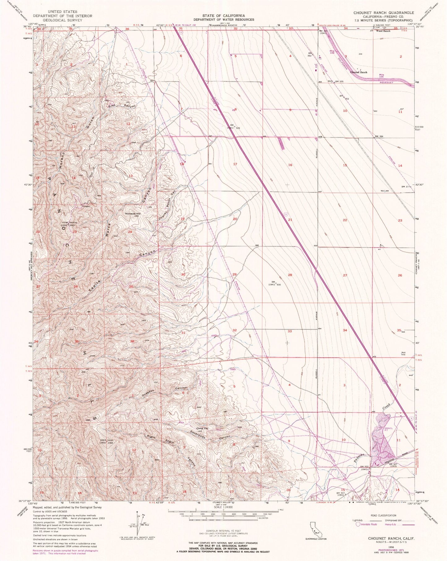
Classic USGS Chounet Ranch California 7.5'x7.5' Topo Map
Regular price
$16.95
Regular price
Sale price
$16.95
Unit price
per
Couldn't load pickup availability
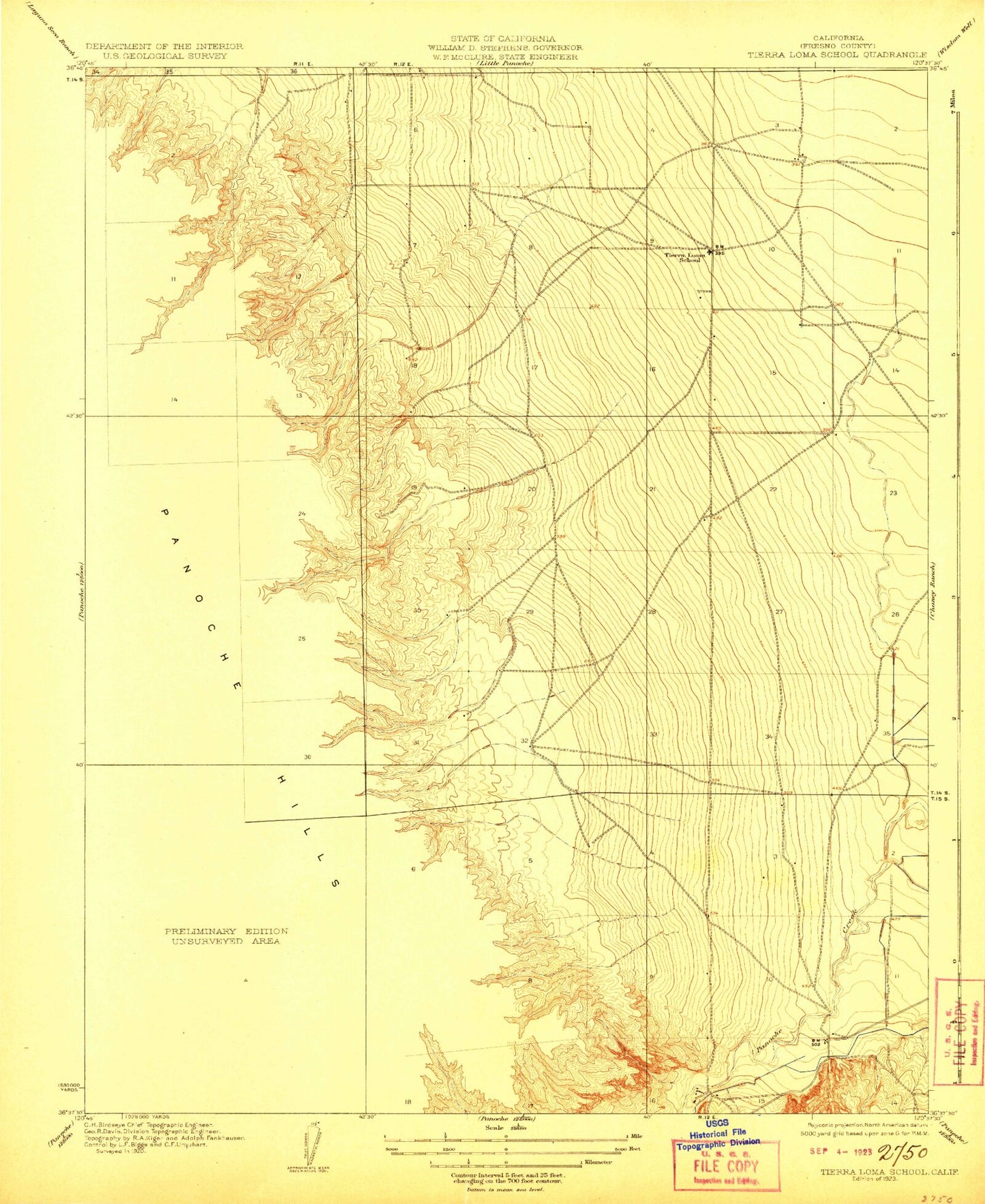
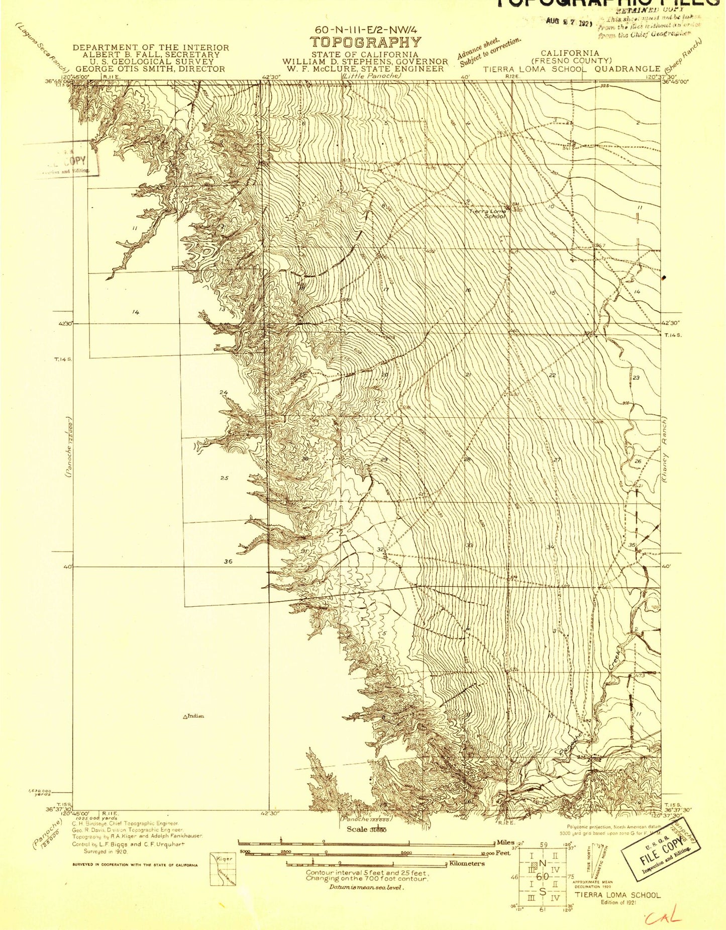
Historical USGS topographic quad map of Chounet Ranch in the state of California. Map scale may vary for some years, but is generally around 1:24,000. Print size is approximately 24" x 27"
This quadrangle is in the following counties: Fresno.
The map contains contour lines, roads, rivers, towns, and lakes. Printed on high-quality waterproof paper with UV fade-resistant inks, and shipped rolled.
Contains the following named places: Capita Canyon, Chaney Ranch Canyon, Chounet Ranch, Cima Hill, Dosados Canyon, Escarpado Canyon, Gres Canyon, Marca Canyon, Moreno Gulch, Nonada Hill, Panoche Hills, Wood Ranch