MyTopo
Classic USGS Chouteau Oklahoma 7.5'x7.5' Topo Map
Couldn't load pickup availability
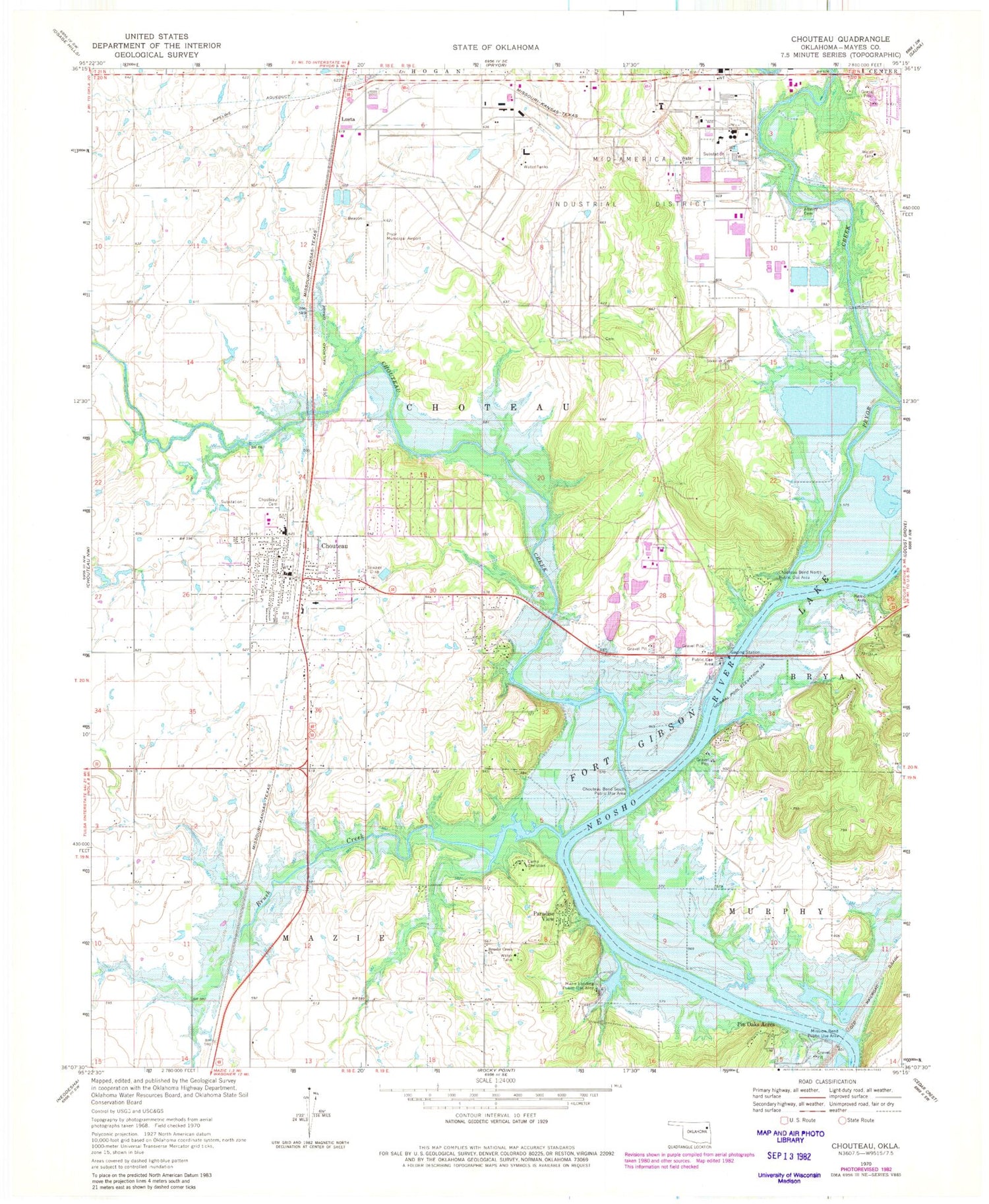
Historical USGS topographic quad map of Chouteau in the state of Oklahoma. Map scale may vary for some years, but is generally around 1:24,000. Print size is approximately 24" x 27"
This quadrangle is in the following counties: Mayes.
The map contains contour lines, roads, rivers, towns, and lakes. Printed on high-quality waterproof paper with UV fade-resistant inks, and shipped rolled.
Contains the following named places: Alberty Cemetery, Assembly of God Church, Brush Creek, Brushy Creek Cemetery, Brushy Creek Church, Camp Christian, Chouteau, Chouteau - Mazie Early Childhood Center, Chouteau - Mazie High School, Chouteau Bend North Public Use Area, Chouteau Bend South Public Use Area, Chouteau Cemetery, Chouteau Creek, Chouteau Elementary School, Chouteau Fire Department, Chouteau Middle School, Chouteau Police Department, Chouteau Post Office, Chouteau West Cemetery, Church of Christ, First Baptist Church, Grand Valley Hospital Heliport, International Word Fellowship, Lusta, Mayes Emergency Services Trust Authority, Mazie, Mazie Census Designated Place, Mazie Landing Public Use Area, Mid-America Industrial Airport, Mission Bend Public Use Area, Paradise View, Pin Oak Acres, Presbyterian Church, Pryor Creek, Pryor Creek Division, Sixkiller Cemetery, Sportsman Acres, Sportsmen Acres, Sportsmen Acres Community, Sportsmen Acres Community Census Designated Place, Sportsmen Acres Police Department, Town of Chouteau, Town of Sportsmen Acres, Township of Chouteau, ZIP Code: 74337


