MyTopo
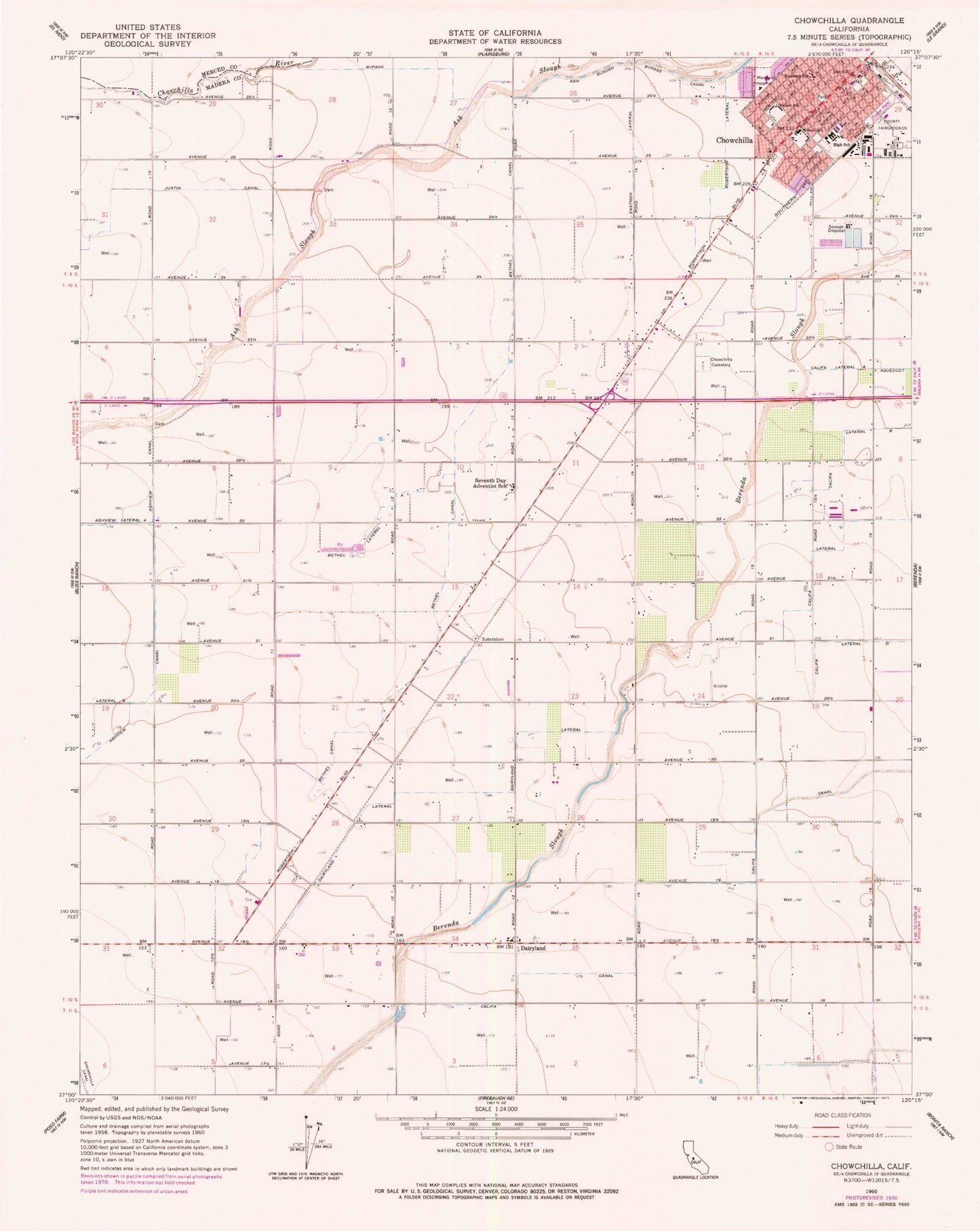
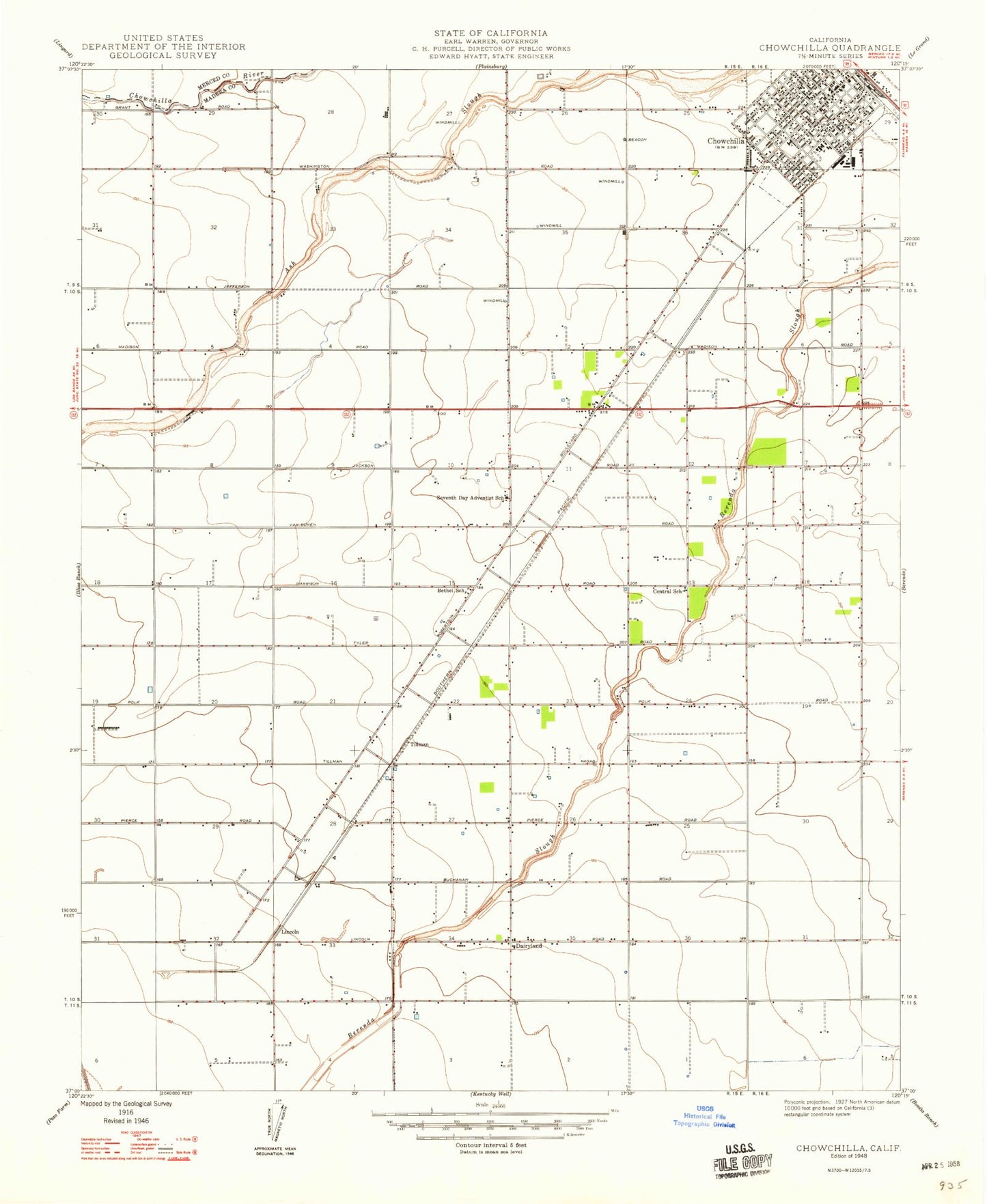
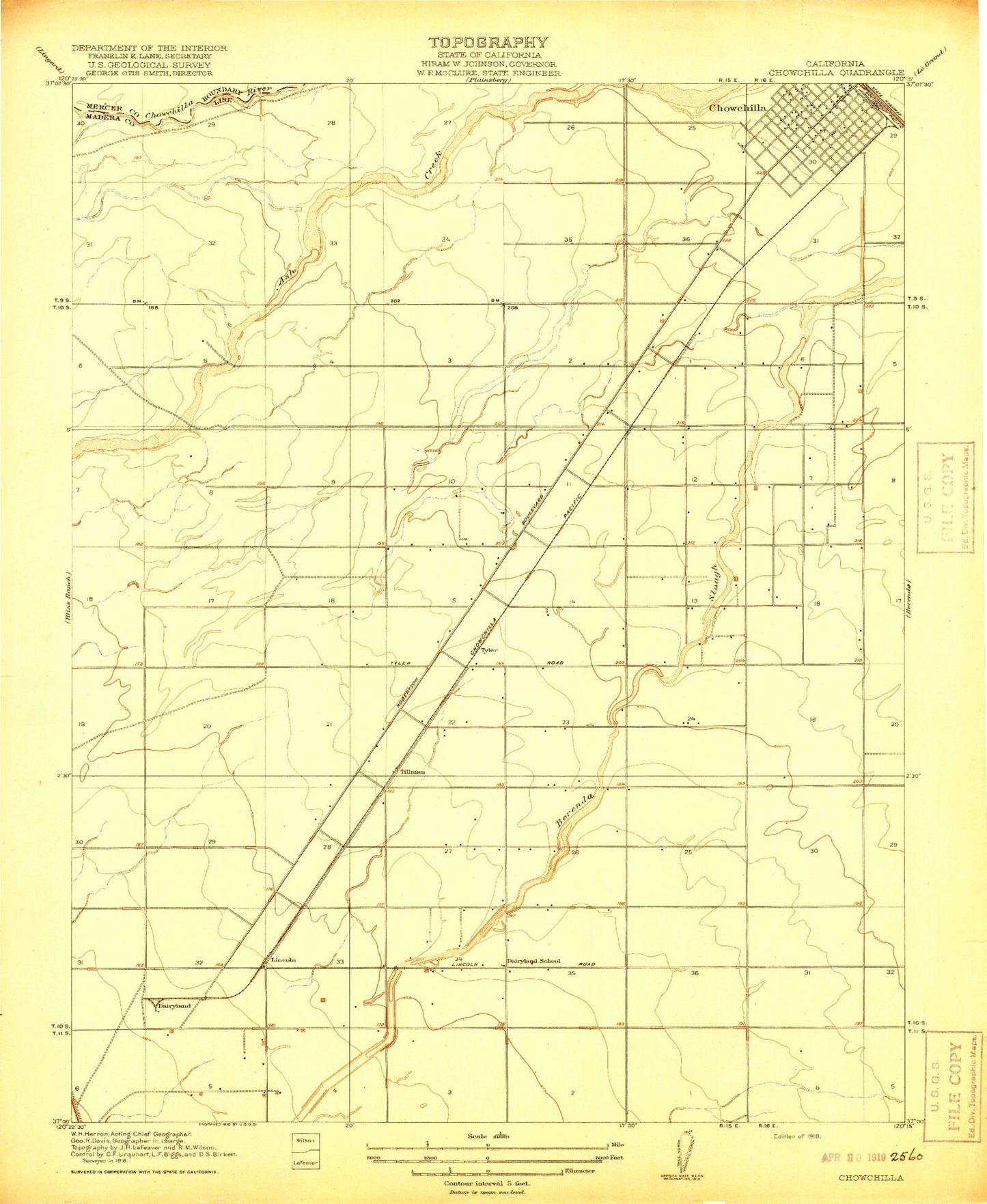
Classic USGS Chowchilla California 7.5'x7.5' Topo Map
Couldn't load pickup availability
Historical USGS topographic quad map of Chowchilla in the state of California. Map scale may vary for some years, but is generally around 1:24,000. Print size is approximately 24" x 27"
This quadrangle is in the following counties: Madera, Merced.
The map contains contour lines, roads, rivers, towns, and lakes. Printed on high-quality waterproof paper with UV fade-resistant inks, and shipped rolled.
Contains the following named places: AJF Dairy, Andrade Dairy Farm, Ash, Ash Slough Bypass Canal, Avila Family Dairy, Bench G Ranch, Bethel Canal, Bethel Lateral, Califa Canal, Califa Lateral C, Califa Lateral D, Cathedral of Faith Assembly of God Church, Chowchilla, Chowchilla Branch Madera County Library, Chowchilla Cemetery, Chowchilla City Hall, Chowchilla Convalescent Hospital, Chowchilla District Memorial Hospital, Chowchilla High School, Chowchilla Industrial Park, Chowchilla New Life Apostolic Church, Chowchilla Police Department, Chowchilla Post Office, Chowchilla Snowbird Ranch, Church of Christ, Country Wood Shopping Center, D R Dairy, Dairyland, Dairyland Lateral, Dairyland School, Diamond H Dairy, Eastman Lateral, Fagundes Dairy, Faust Family Dairy, First Assembly of God Church, First Baptist Church, First Presbyterian Church, First Southern Baptist Church, First United Methodist Church, Kingdom Hall of Jehovahs Witnesses, Lateral B, Lighthouse Church of God, Lincoln, Madera County Fairgrounds, Madera County Fire Department Station 2 Chowchilla, Madera County Fire Department Station 4 Dairyland Fire Station, Merle L Fuller Elementary School, Ovejo, Pentecostal Church of God, Pimental Dairy, Pistoresi Ambulance Service, Plains, Robertson Lateral, Saint Columbia Catholic Church, Seventh Day Adventist Church, Seventh Day Adventist School, Slenders Dairy, Sports Leisure Park, Stephens Elementary School, Tillman, Triangle M Dairy, Trinity Lutheran Church, Tyler, United Pentecostal Church, Wilson Elementary School, Wolfshorndl Farms, ZIP Code: 93610


