MyTopo
Classic USGS Christina Peak Nevada 7.5'x7.5' Topo Map
Couldn't load pickup availability
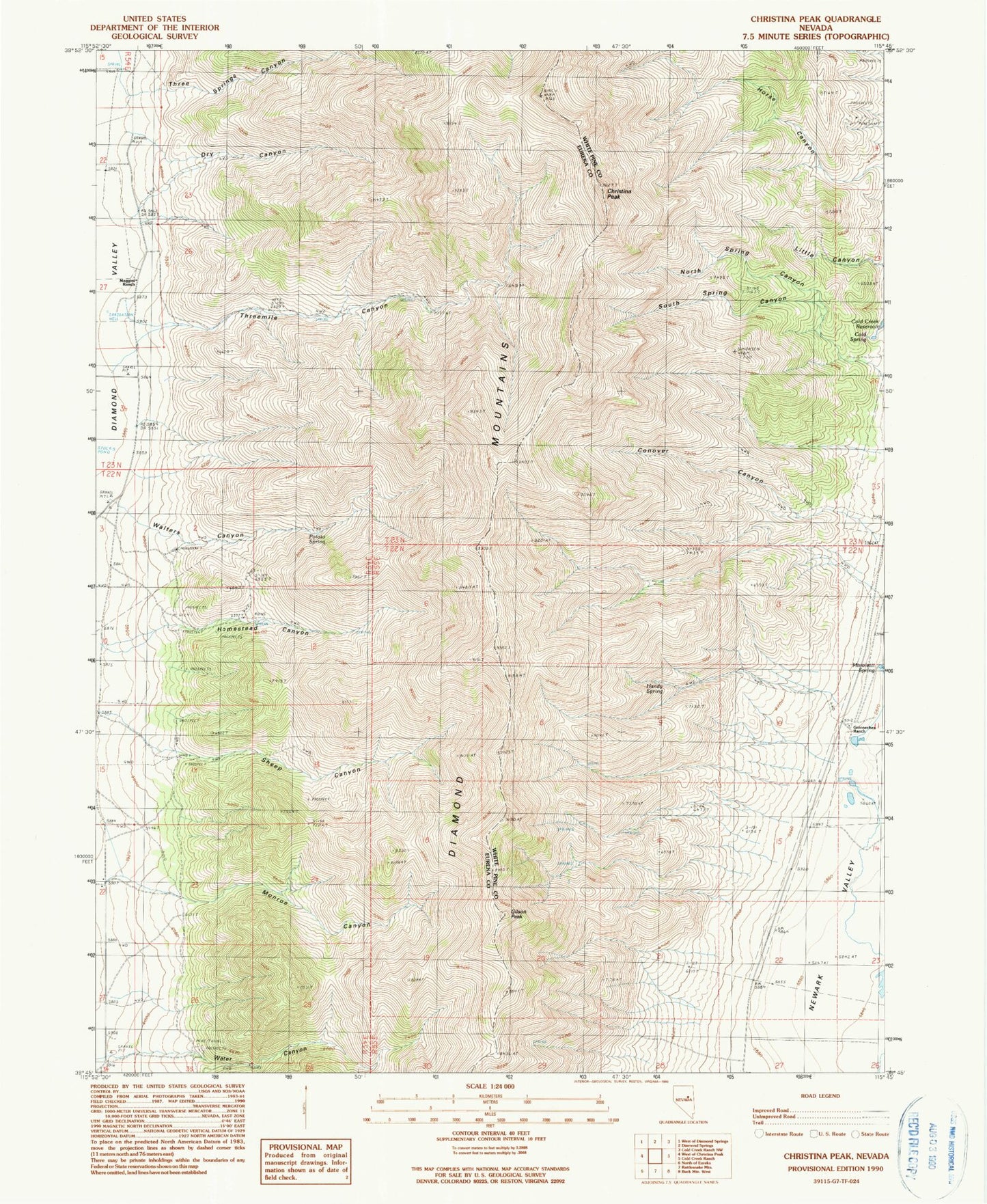
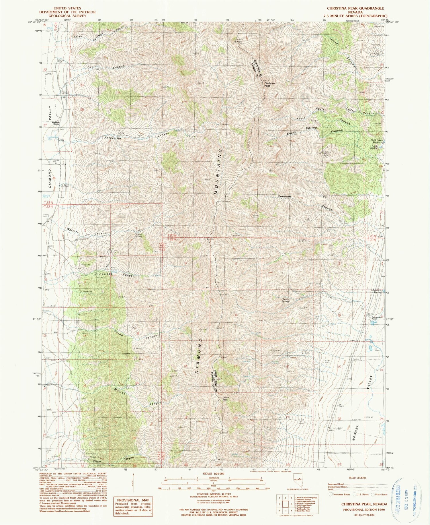
Historical USGS topographic quad map of Christina Peak in the state of Nevada. Map scale may vary for some years, but is generally around 1:24,000. Print size is approximately 24" x 27"
This quadrangle is in the following counties: Eureka, White Pine.
The map contains contour lines, roads, rivers, towns, and lakes. Printed on high-quality waterproof paper with UV fade-resistant inks, and shipped rolled.
Contains the following named places: Christina Peak, Cole Spring, Conover Canyon, Dry Canyon, Gilson Peak, Goicoechea Ranch, Handy Spring, Homestead Canyon, Horse Canyon, Little Canyon, Maggini Ranch, Minoletti Spring, Monroe Canyon, North Spring Canyon, Potato Spring, Sheep Canyon, South Spring Canyon, Steel Galena Mine, Summit Peak, Three Springs Canyon, Threemile Canyon, Walters Canyon, Water Canyon