MyTopo
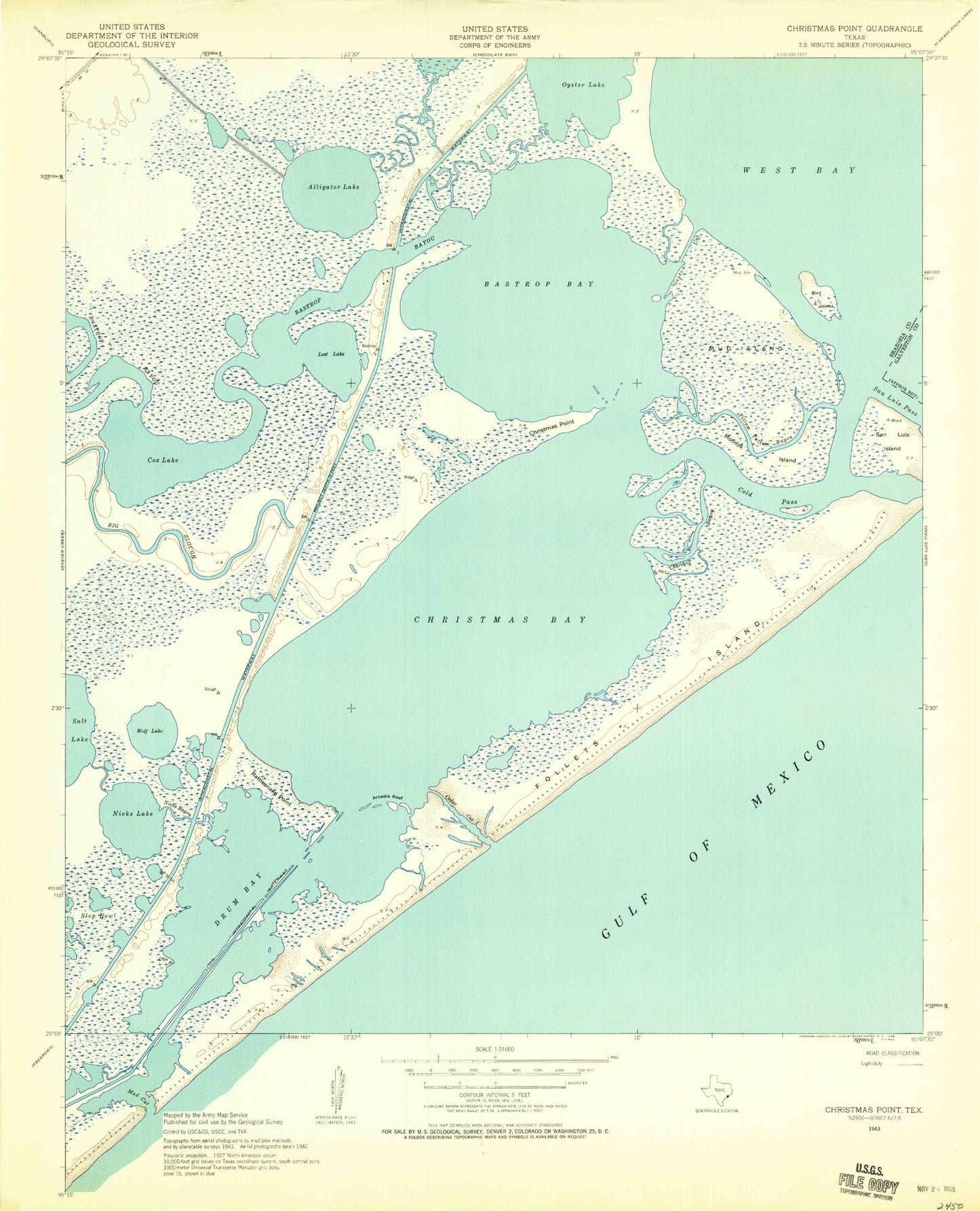
Classic USGS Christmas Point Texas 7.5'x7.5' Topo Map
Couldn't load pickup availability
Historical USGS topographic quad map of Christmas Point in the state of Texas. Typical map scale is 1:24,000, but may vary for certain years, if available. Print size: 24" x 27"
This quadrangle is in the following counties: Brazoria, Galveston.
The map contains contour lines, roads, rivers, towns, and lakes. Printed on high-quality waterproof paper with UV fade-resistant inks, and shipped rolled.
Contains the following named places: Alligator Lake, Alligator Slough, Arcadia Reef, Bastrop Bay, Bastrop Bayou, Big Slough, Bird Island, Christmas Bay, Christmas Point, Christmas Point Reef, Cold Pass, Cox Lake, Drum Bay, Follets Island, Lost Lake, Moodys Island, Mud Island, Nicks Lake, Oyster Lake Bayou, Rattlesnake Point, San Luis Island, Wolf Lake, Mud Cut, Churchill Bayou, Nicks Cut, Oyster Lake, Titlum-Tatlum Bayou, Port Morris, Brazoria National Wildlife Refuge, Cedar Cut, Alvin Branch Library


