MyTopo
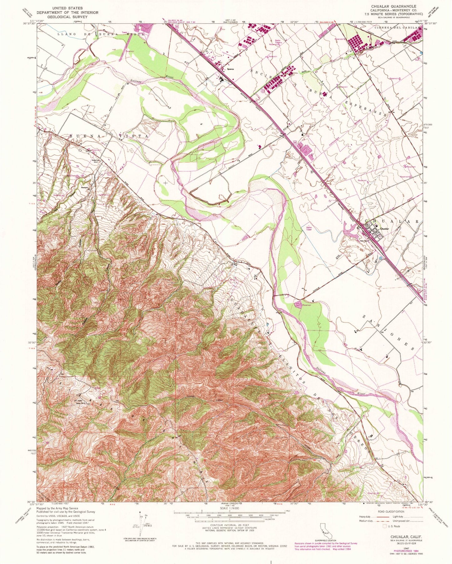
Classic USGS Chualar California 7.5'x7.5' Topo Map
Couldn't load pickup availability
Historical USGS topographic quad map of Chualar in the state of California. Map scale may vary for some years, but is generally around 1:24,000. Print size is approximately 24" x 27"
This quadrangle is in the following counties: Monterey.
The map contains contour lines, roads, rivers, towns, and lakes. Printed on high-quality waterproof paper with UV fade-resistant inks, and shipped rolled.
Contains the following named places: Buena Vista School, Chualar, Chualar Census Designated Place, Chualar Creek, Chualar Elementary School, Chualar Post Office, Fletcher Canyon, Guadalupe Y Llanitos de los Correos, KMST-TV (Monterey), KTOM-FM (Salinas), KUSP-FM (Santa Cruz), KWAV-FM (Monterey), Limekiln Creek, Mount Toro, Parker Canyon, Pine Canyon, Quail Creek, Salinas Rural Fire Protection District Station 2 Chualar Station, Somavia School, Spence