MyTopo
Classic USGS Chuckey Tennessee 7.5'x7.5' Topo Map
Couldn't load pickup availability
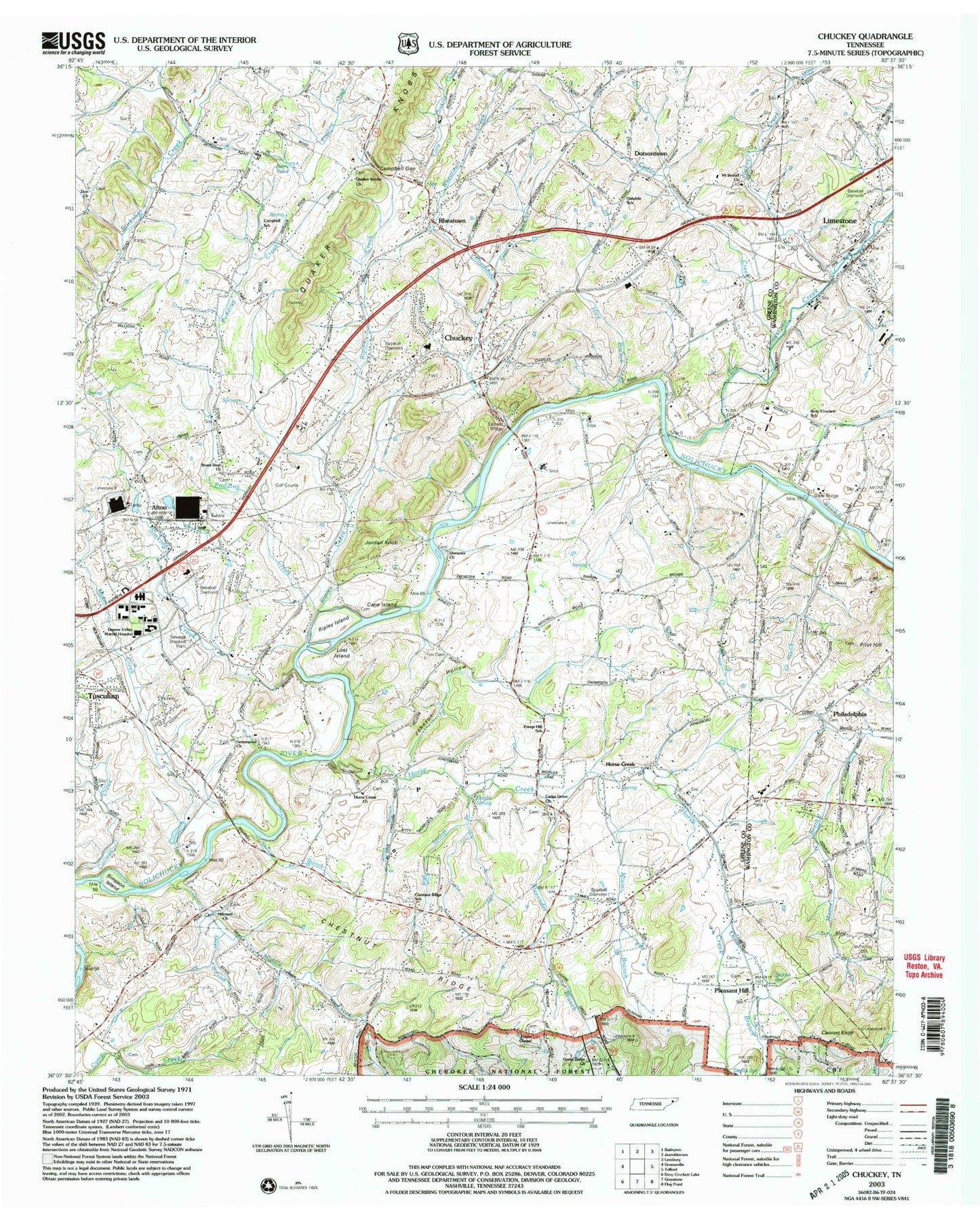
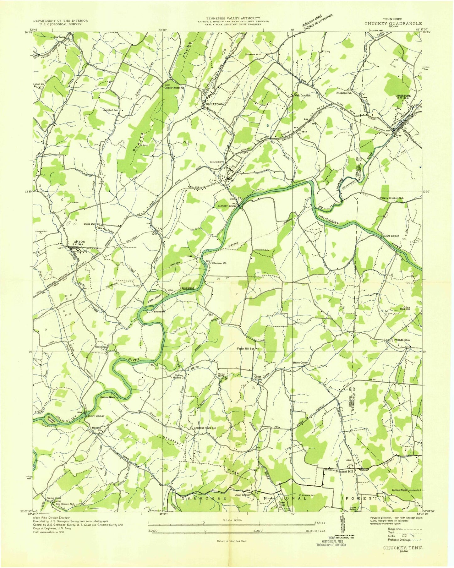
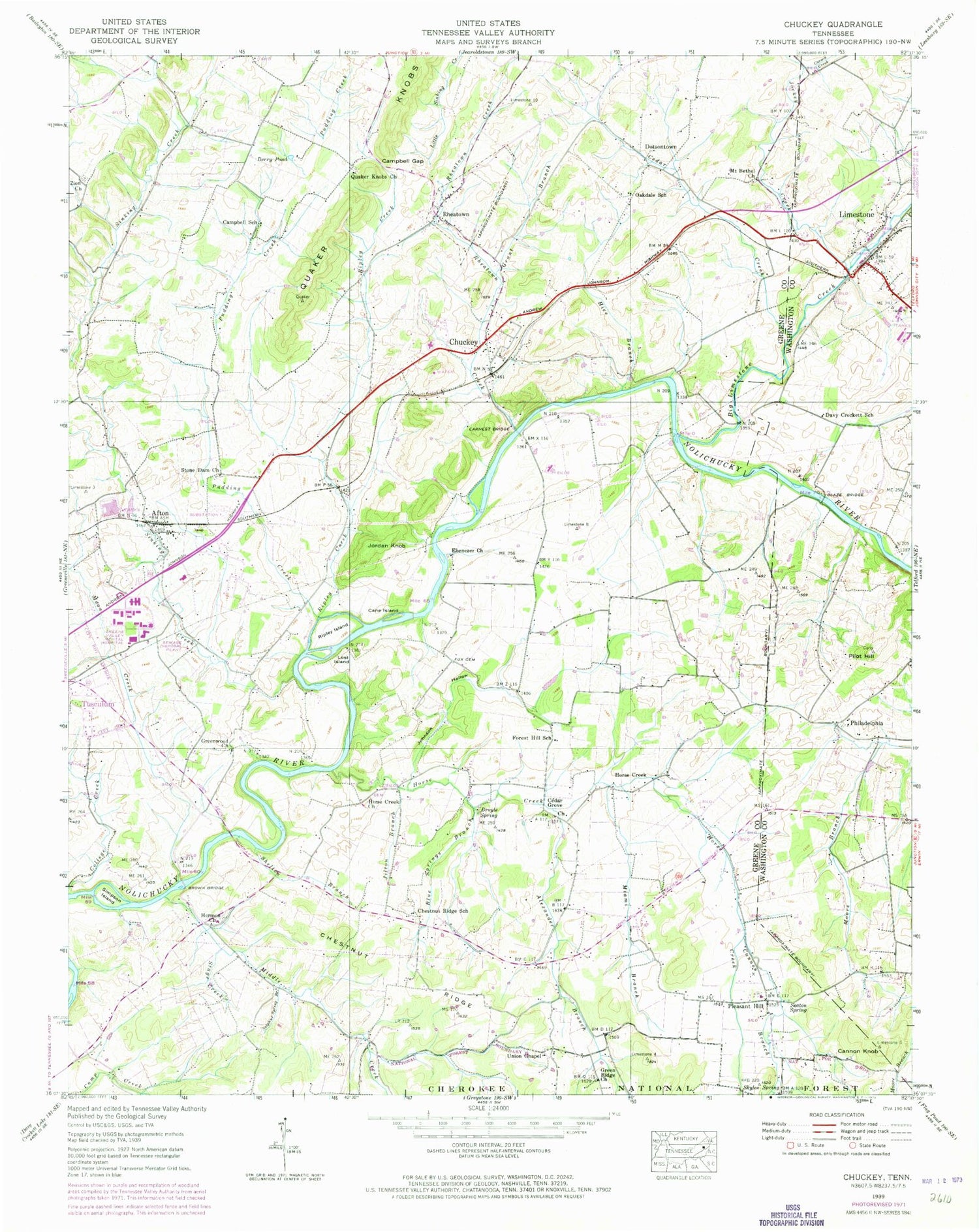
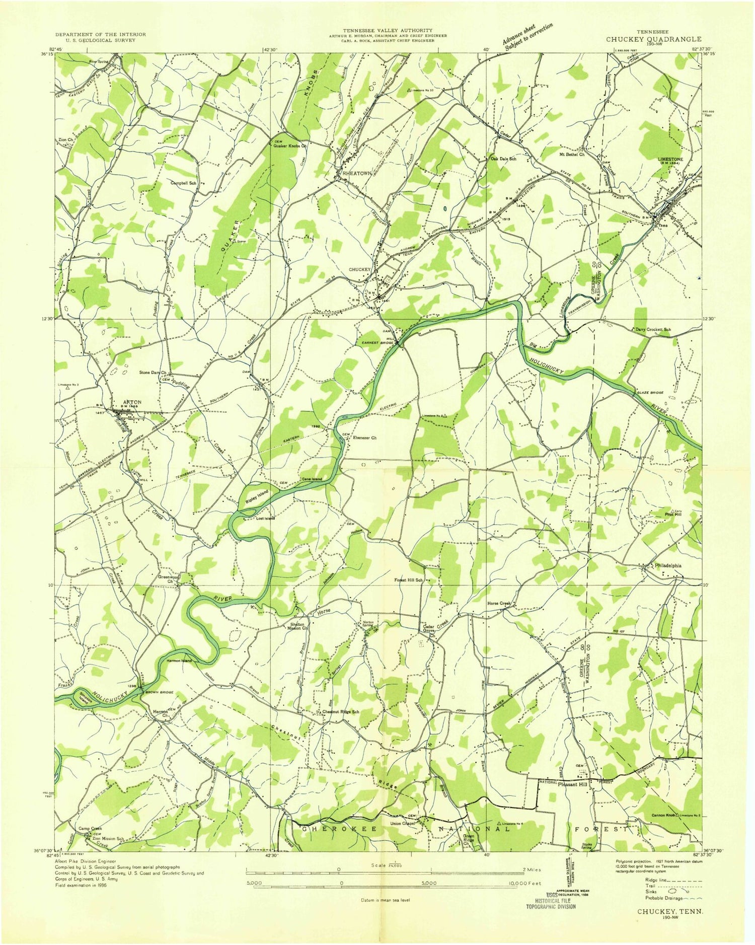
Historical USGS topographic quad map of Chuckey in the state of Tennessee. Map scale may vary for some years, but is generally around 1:24,000. Print size is approximately 24" x 27"
This quadrangle is in the following counties: Greene, Washington.
The map contains contour lines, roads, rivers, towns, and lakes. Printed on high-quality waterproof paper with UV fade-resistant inks, and shipped rolled.
Contains the following named places: Afton, Afton Post Office, Afton United Methodist Church, Alexander Branch, Berry Pond, Big Limestone Creek, Blaines Shoals, Blue Springs Branch, Brown Bridge, Broyle Spring, Campbell Gap, Campbell School, Cane Island, Cannon Branch, Cannon Knob, Carson Creek, Cedar Creek, Cedar Grove Church, Chestnut Ridge, Chestnut Ridge School, Chuckey, Chuckey-Doak High School, Chucky Elementary School, Chucky Post Office, City of Tusculum, College Creek, Commissioner District 2, Corby Quarry, Davy Crockett School, Dotsontown, Earnest Bridge, Ebenezer Church, F Earnests Shoals, Forest Hill School, Fox Cemetery, Gillespies Shoals, Glaze Bridge, Glaze Cemetery, Grant Branch, Green Ridge Church, Greene Valley Developmental Center, Greenwood Church, H Earnests Shoals, Hall Branch, Henshaw, Hensley Airpark, Hermon Church, Hice Branch, Horse Creek, Horse Creek Church, Horse Creek Spring, Howard Shoals, Jilton Branch, Jockey Creek, Johnson Hollow, Jordan Knob, L Earnests Shoals, Limestone, Limestone Post Office, Limestone School, Limestone Volunteer Fire Department, Little Sinking Creek, Lost Island, Miami Branch, Middle Creek, Moon Creek, Mount Bethel Church, Oakdale School, Painter Cemetery, Parkland Acres, Philadelphia, Philadelphia Cemetery, Philadelphia Cumberland Presbyterian Church, Philadelphia School, Pilot Hill, Pleasant Hill, Pleasant Hill United Methodist Church, Pleasant View, Pudding Creek, Quaker Knobs, Quaker Knobs Church, Rheatown, Rheatown Creek, Rheatown-Chucky Division, Ripley Creek, Ripley Island, Seaton Spring, Shelton Branch, Simpson Island, Sinking Creek, Sinking Creek Shoals, Skyles Spring, Stage Creek, Statemount, Stone Dam Church, Sulphur Spring Branch, Twin Creek Golf Course, Union Chapel, Union Chapel School, Urbana Cemetery, Zion Church, Zion School, ZIP Codes: 37616, 37641