MyTopo
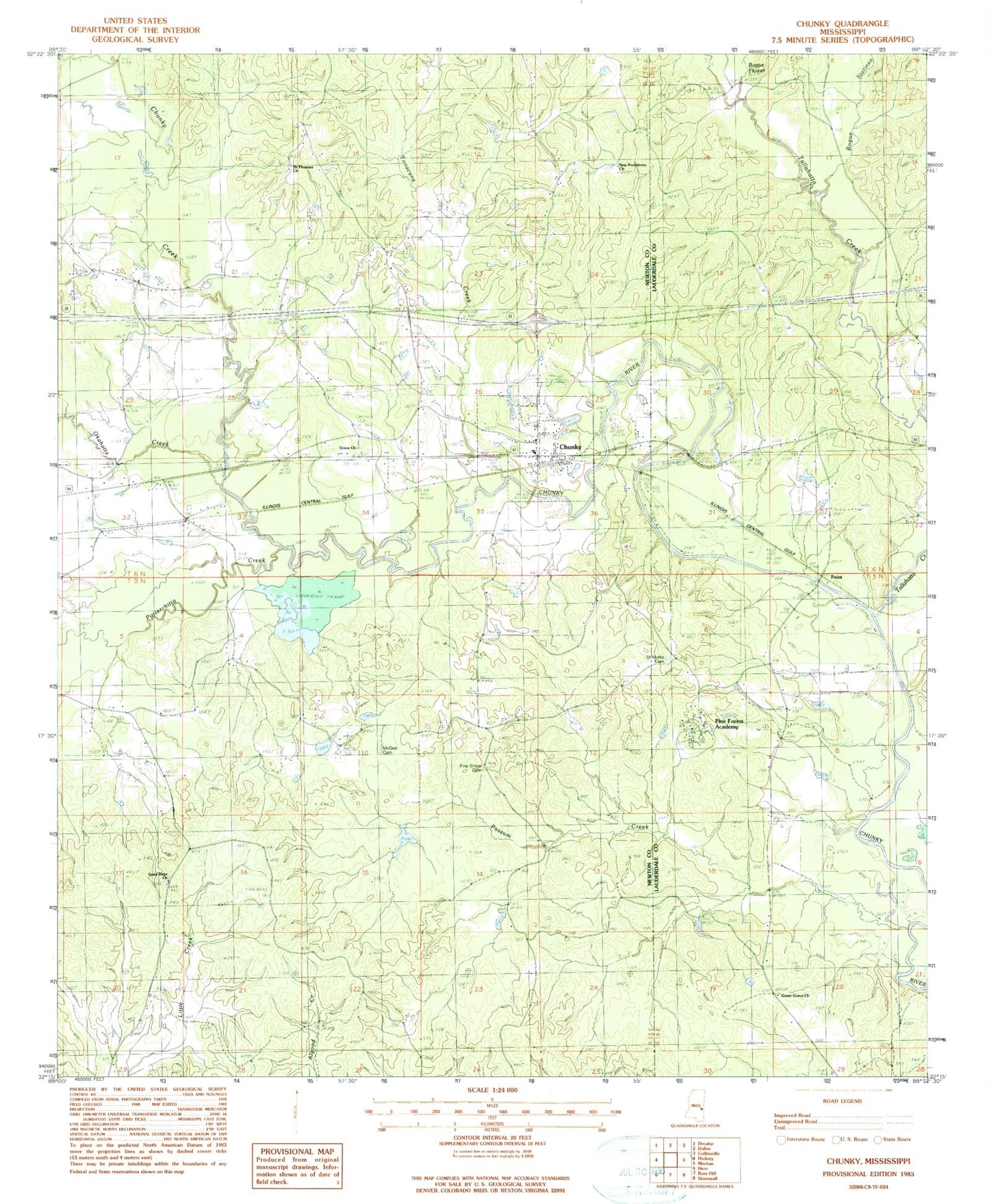
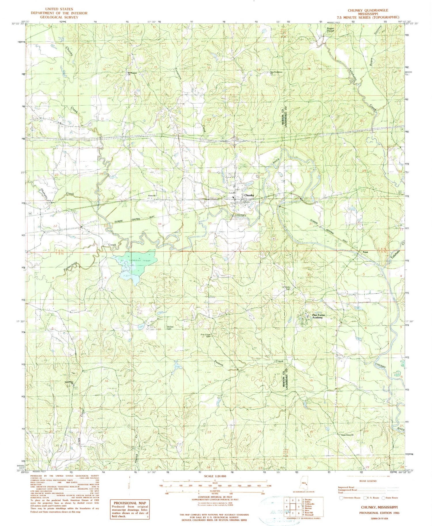
Classic USGS Chunky Mississippi 7.5'x7.5' Topo Map
Couldn't load pickup availability
Historical USGS topographic quad map of Chunky in the state of Mississippi. Map scale may vary for some years, but is generally around 1:24,000. Print size is approximately 24" x 27"
This quadrangle is in the following counties: Lauderdale, Newton.
The map contains contour lines, roads, rivers, towns, and lakes. Printed on high-quality waterproof paper with UV fade-resistant inks, and shipped rolled.
Contains the following named places: African Church, Blue Branch, Bogue Flower, Bogue Statinea, Chunky, Chunky Baptist Church, Chunky Creek, Chunky Post Office, Consolidated School, Germeny Lake Dam, Good Hope Church, Green Grove Church, Little Union, McGee Cemetery, Mount Moriah Church, Mount Pleasant Church, Mrs Graham Lake Dam, New Providence, New Providence Church, Okahatta Creek, Peavy Pond Dam, Pine Forest Academy, Pine Forest Academy Pond Dam, Pine Forest Hospital, Pine Grove Cemetery, Pine Grove Church, Pine Grove School, Point, Possum Creek, Potterchitto Creek, Rasland, Saint Marks Cemetery, Saint Marks Church, Sharps Store, Tallahatta Creek, Tonacana Creek, Town of Chunky, Truelight Church, Union Church, ZIP Codes: 39323, 39332


