MyTopo
Classic USGS Chupadera New Mexico 7.5'x7.5' Topo Map
Regular price
$16.95
Regular price
Sale price
$16.95
Unit price
per
Couldn't load pickup availability
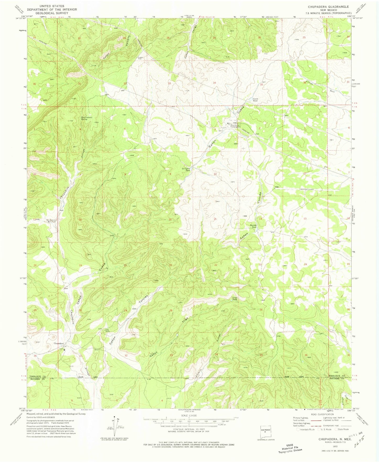
Historical USGS topographic quad map of Chupadera in the state of New Mexico. Map scale may vary for some years, but is generally around 1:24,000. Print size is approximately 24" x 27"
This quadrangle is in the following counties: Socorro, Torrance.
The map contains contour lines, roads, rivers, towns, and lakes. Printed on high-quality waterproof paper with UV fade-resistant inks, and shipped rolled.
Contains the following named places: Adams Iron Pit, Canon Cueva, Canon Torcido, Chupadera, Chupadera Windmill, Cueva Tank, Estancia I Crawford Mine, Fite Mine, Geoslim Pit, La Cueva Tank, Mountainair Pumping Station, San Antonio Spring, Torcido Tank, Transwestern Pipeline Number 7 Airport, Trigo Tank