MyTopo
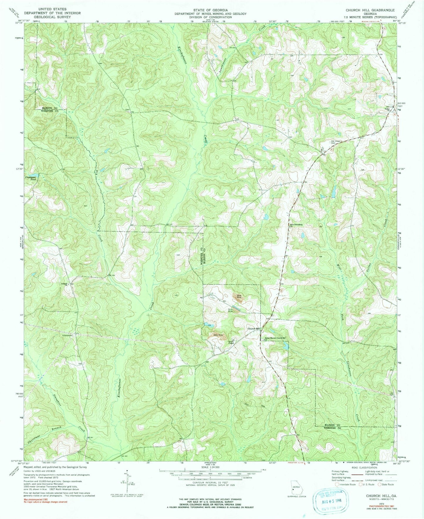
Classic USGS Church Hill Georgia 7.5'x7.5' Topo Map
Couldn't load pickup availability
Historical USGS topographic quad map of Church Hill in the state of Georgia. Map scale may vary for some years, but is generally around 1:24,000. Print size is approximately 24" x 27"
This quadrangle is in the following counties: Marion, Webster.
The map contains contour lines, roads, rivers, towns, and lakes. Printed on high-quality waterproof paper with UV fade-resistant inks, and shipped rolled.
Contains the following named places: Antioch Baptist Church, Christmas Branch, Church Hill, Dry Creek, Evans Chapel, Flanigans Pond, Golden Creek, Hoggs, Lanahassee Creek, New Friendship Church, Old Union Cemetery, Shiloh Cemetery, Shiloh-Marion-Church Hill Church, Simmons Lake, Simmons Lake Dam, Slaughter Creek, Smyrna Cemetery, Union Church, Weaver Lake, Weaver Lake Dam