
MyTopo
Classic USGS Church Hill Mississippi 7.5'x7.5' Topo Map
Couldn't load pickup availability
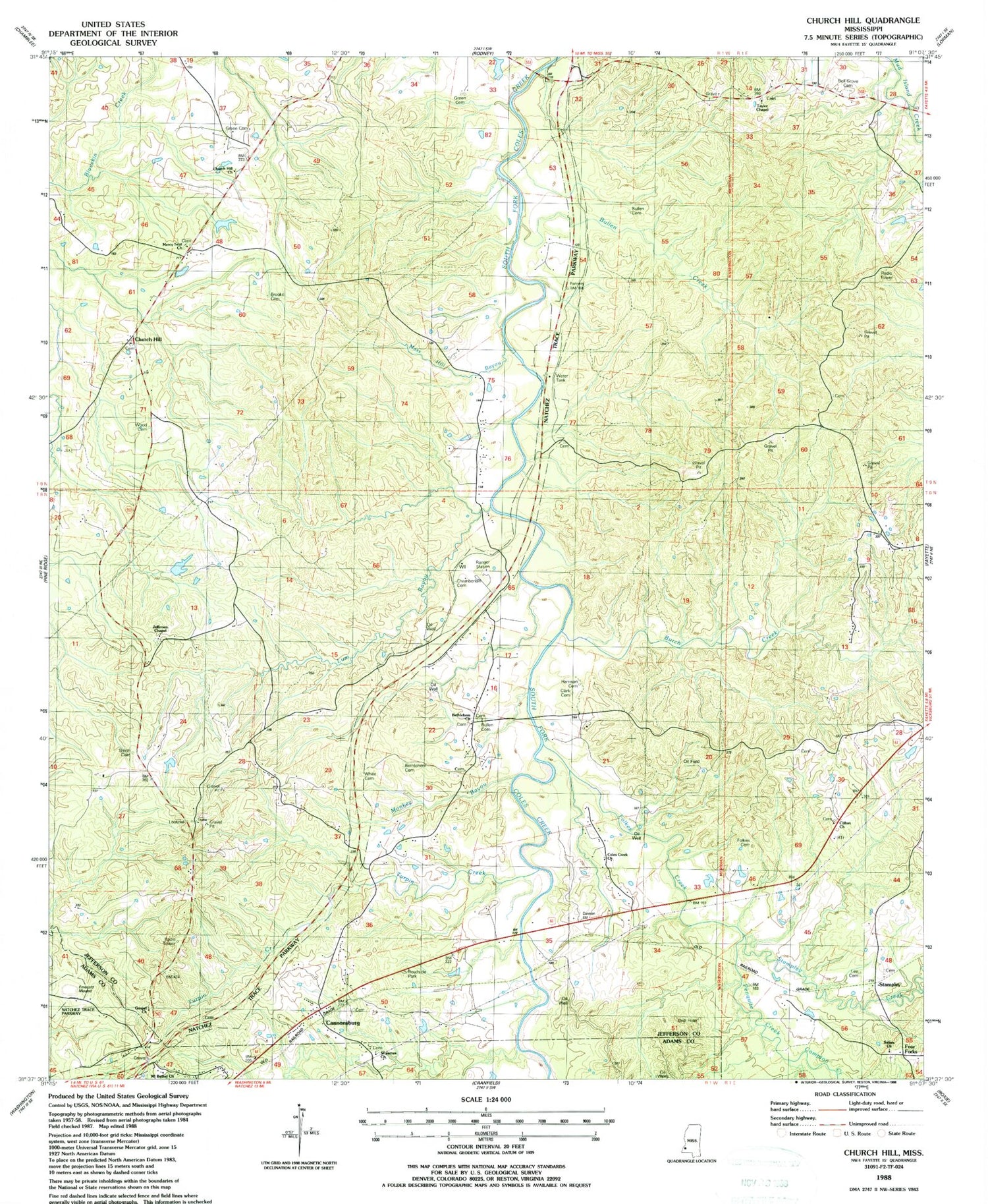
Historical USGS topographic quad map of Church Hill in the state of Mississippi. Map scale may vary for some years, but is generally around 1:24,000. Print size is approximately 24" x 27"
This quadrangle is in the following counties: Adams, Jefferson.
The map contains contour lines, roads, rivers, towns, and lakes. Printed on high-quality waterproof paper with UV fade-resistant inks, and shipped rolled.
Contains the following named places: Bell Grove Cemetery, Bethlehem Cemetery, Bethlehem Church, Brooks Cemetery, Bullen Cemetery, Bullen Creek, Burch Creek, Cannonsburg, Cannonsburg Oil Field, Chamberlin Cemetery, Church Hill, Church Hill Church, Church Hill Lookout Tower, Church Hill Post Office, Clark Cemetery, Clifton Church, Coles Creek Church, Coles Creek Oil Field, Compton Creek, Folkes Cemetery, Folkes Creek, Four Forks, Gibson Bayou, Gospel Church, Green Cemetery, Harrison Cemetery, Jefferson Chapel, Lee Cemetery, Lum Bayou, Mercy Seat Baptist Church, Monkey Bayou, Moss Hill Bayou, Mound Plantation, Mount Bethel Church, Mount Zion Church, North Sunnyside Oil Field, Penquite Creek, Saint James Church, Salem Church, Selsertown, Smith Cemetery, Springfield, Stampley, Stampley Creek, Stampley Oil Field, Sunnyside Oil Field, Supervisor District 4, Taylor Chapel Baptist Church, Turpin Creek, White Cemetery, Wood Cemetery


