MyTopo
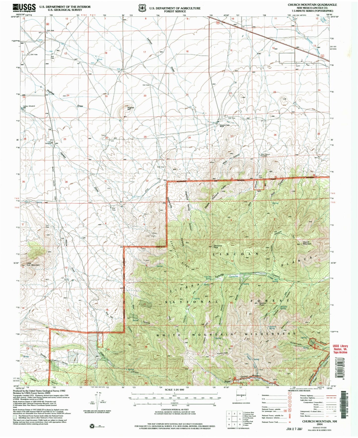
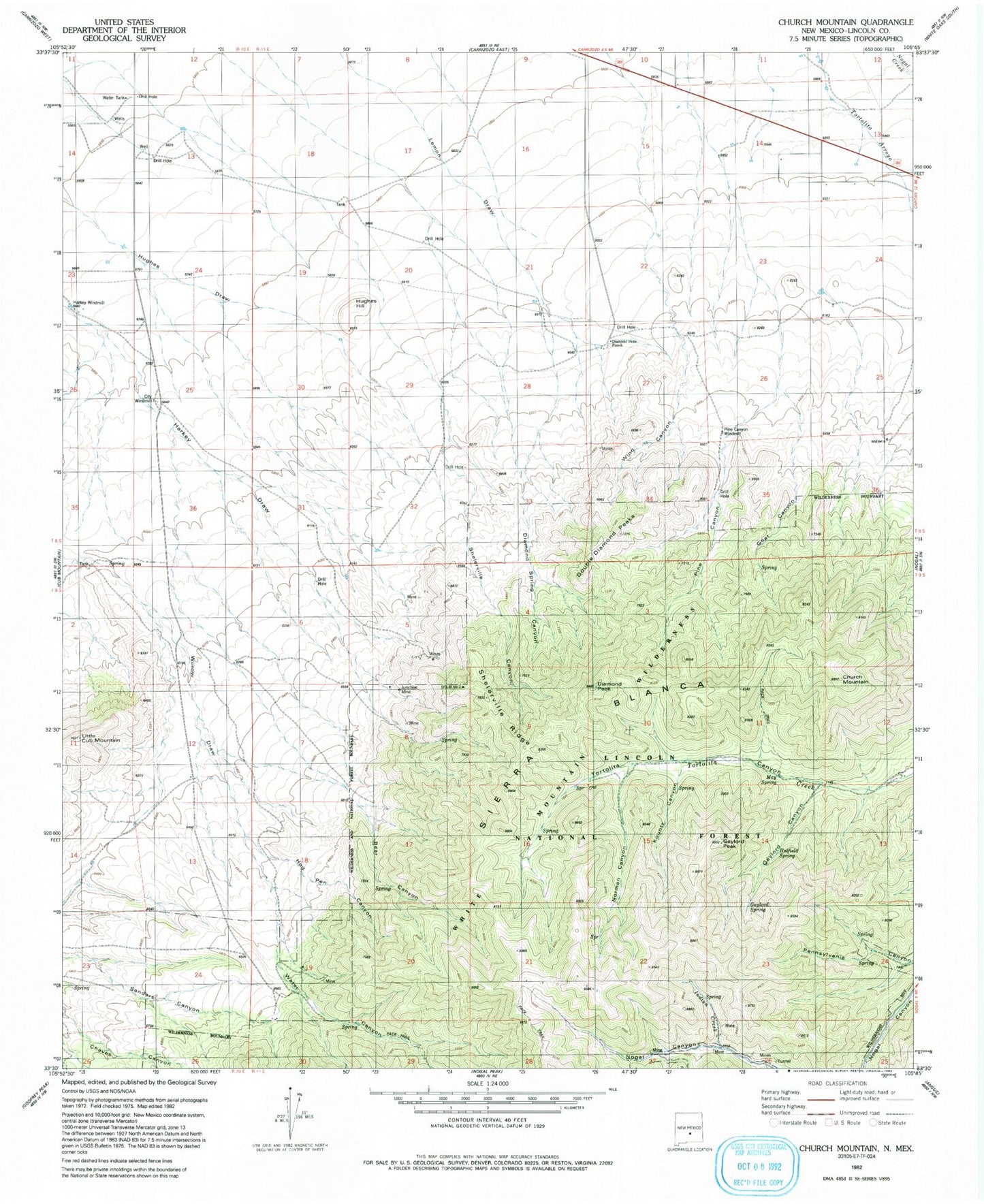
Classic USGS Church Mountain New Mexico 7.5'x7.5' Topo Map
Couldn't load pickup availability
Historical USGS topographic quad map of Church Mountain in the state of New Mexico. Typical map scale is 1:24,000, but may vary for certain years, if available. Print size: 24" x 27"
This quadrangle is in the following counties: Lincoln.
The map contains contour lines, roads, rivers, towns, and lakes. Printed on high-quality waterproof paper with UV fade-resistant inks, and shipped rolled.
Contains the following named places: Church Mountain, Gaylord Canyon, Gaylord Peak, Hughes Hill, Indian Creek, Junction Mine, Kountz Canyon, Norman Canyon, Water Canyon, Diamond Peak, Goat Canyon, Pine Canyon, Wind Canyon, Surprise Contact Claim, Little Hecla Claims, Park Gold Number 3 Mine, Park Gold Tunnel, Homestake Mine, Idaho MIne, Last Chance Claim Number 1, Midnight Mine, Grub Stake Mine, Hat Claim, Iron Blossom, New Mexico Copper Corp Claims, Magma Number 1 and 2 Claims, Hart Prospect, R and L Claim, Richardson Claims, Silver Dollar Claim, Sugar Stake Claim, Betty and Stella Claims, Butcher Boy, C and M Number One and Two Claims, Cap Claim, Commercial Mine, Copper Glance Claim, Copper Matte Claim, D and B Tunnel, Ball Hornet Claims, Clipper Claims, Columbia Mine, Couger Mine, Rochford Claims, Silver-Copper Claim, Homesteak Claim, Duggers, Pino, 10079 Water Well, Tortolita Spring, Surprise Mine, Sylvanite Mine, Trust Mine, Union Jack Mine, Minnie Lea Mine, Illinois Mine, Harry Allen Mine, Moscow Mine, Privateer Mine, Sailor Boy Mine, Telluride Mine, Bornite Mine, Buster Brown Mine, Cinnamon Mine, Delaware Mine, Bull Dyker Mine, Red Jim Mine, Harkey Windmill, City Windmill, Diamond Peak Ranch, Pine Canyon Windmill, Diamond Spring Canyon, Double Diamond Peaks, Shelerville Ridge, Little Cub Mountain, Hog Pen Canyon, Bear Canyon, Oakridge Trail, May Spring, Hatfield Spring, Gaylord Spring, Pennsylvania Trail


