MyTopo
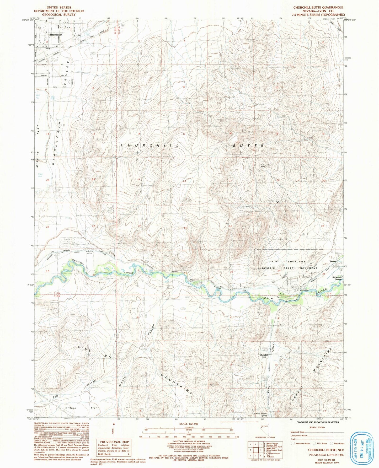
Classic USGS Churchill Butte Nevada 7.5'x7.5' Topo Map
Couldn't load pickup availability
Historical USGS topographic quad map of Churchill Butte in the state of Nevada. Map scale may vary for some years, but is generally around 1:24,000. Print size is approximately 24" x 27"
This quadrangle is in the following counties: Lyon.
The map contains contour lines, roads, rivers, towns, and lakes. Printed on high-quality waterproof paper with UV fade-resistant inks, and shipped rolled.
Contains the following named places: B H and V Mine, Browns Station, Bucklands Station, Bull Canyon, California Emigrant Trail, Central Lyon County Fire Protection District Stagecoach Volunteer Fire Department Station 37, Churchill, Churchill Butte, Churchill Cemetery, Churchill Mining District, Churchill Peak, Churchill Station Spring, Clifton Flat, Colonel Charles McDermitt Visitor Center Complex, Dayton Township, Fort Churchill Historic State Monument, Fort Churchill Post Office, Fort Churchill Station, Houghman and Howard Ditch, Howard, John C Fremont Picnic Area, Lyon, Mineral Canyon, Old Fort Churchill, Pony Bob Haslam Group Use Area, Pony Express Well, Ruth Mine, Samuel Bucklands Campground, Stagecoach, Stagecoach Christian Academy, Tugela, Weeks, Weeks Post Office, Weeks Toll Ranch, ZIP Code: 89429