MyTopo
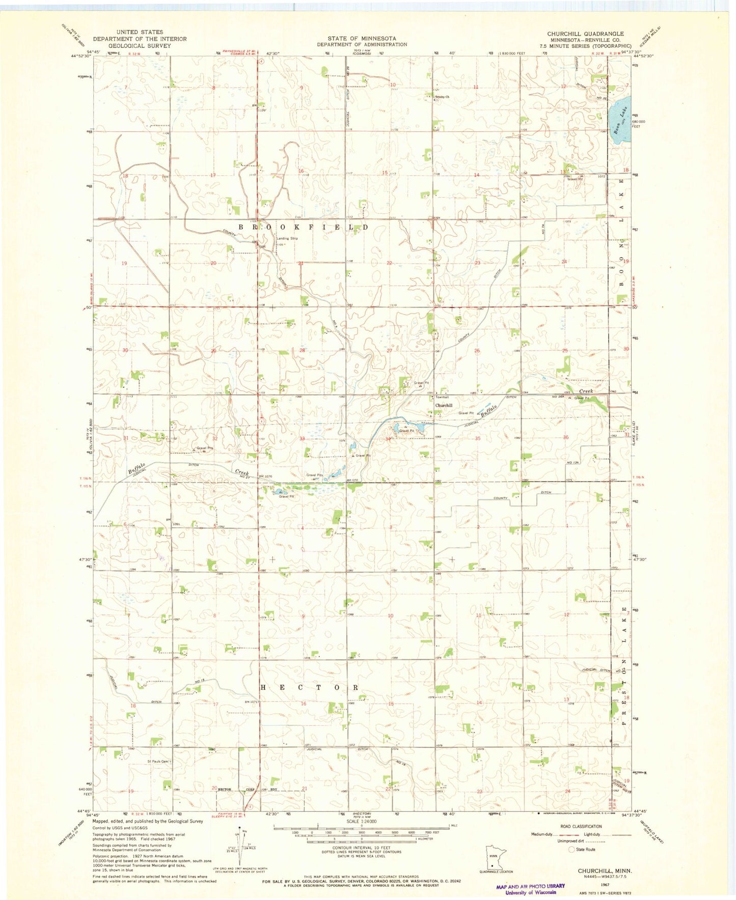
Classic USGS Churchill Minnesota 7.5'x7.5' Topo Map
Couldn't load pickup availability
Historical USGS topographic quad map of Churchill in the state of Minnesota. Map scale may vary for some years, but is generally around 1:24,000. Print size is approximately 24" x 27"
This quadrangle is in the following counties: Renville.
The map contains contour lines, roads, rivers, towns, and lakes. Printed on high-quality waterproof paper with UV fade-resistant inks, and shipped rolled.
Contains the following named places: Brookfield Cemetery, Churchill, County Ditch Number Four, County Ditch Number One Hundred Thirtyfour, County Ditch Number Seven A, Friends Cemetery, Judicial Ditch Number Twentyseven, Methodist Episcopal Cemetery, Saint Pauls Cemetery, Township of Brookfield, Township of Hector, Trinity Church