MyTopo
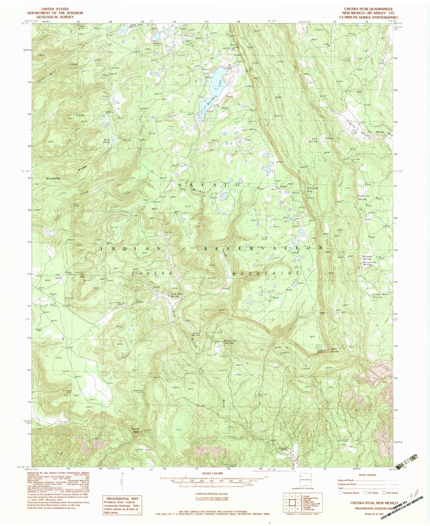
Classic USGS Chuska Peak New Mexico 7.5'x7.5' Topo Map
Couldn't load pickup availability
Historical USGS topographic quad map of Chuska Peak in the state of New Mexico. Map scale may vary for some years, but is generally around 1:24,000. Print size is approximately 24" x 27"
This quadrangle is in the following counties: McKinley.
The map contains contour lines, roads, rivers, towns, and lakes. Printed on high-quality waterproof paper with UV fade-resistant inks, and shipped rolled.
Contains the following named places: Antelope Pass, Black Water Spring, Chuska Peak, Cold Water Spring, Corral, Dadasoa Spring, Deza Bluffs, Holyan Spring, Luka Spring, Manuelito Spring, Nikehoshi Spring, Oak Spring, Pine Spring 14N-25, Poision Ivy Spring, Red Pond, Sage Well, Sloping Meadow, Tohatchi Lookout, Whiskey Creek, Whiskey Lake