MyTopo
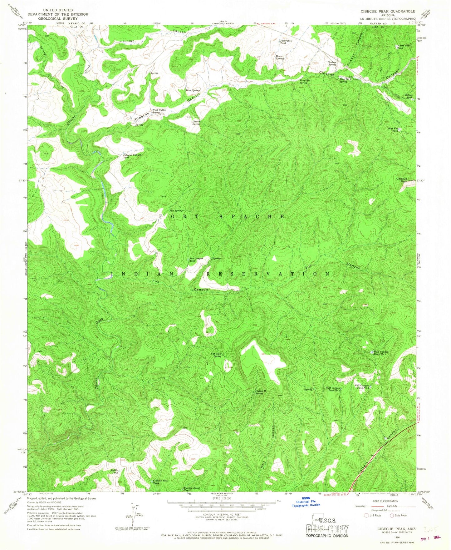
Classic USGS Cibecue Peak Arizona 7.5'x7.5' Topo Map
Couldn't load pickup availability
Historical USGS topographic quad map of Cibecue Peak in the state of Arizona. Map scale may vary for some years, but is generally around 1:24,000. Print size is approximately 24" x 27"
This quadrangle is in the following counties: Gila.
The map contains contour lines, roads, rivers, towns, and lakes. Printed on high-quality waterproof paper with UV fade-resistant inks, and shipped rolled.
Contains the following named places: Blue Fox Tank, Bobcat Tank, Cat Claw Spring, Cibecue Canyon, Cibecue Canyon Tank, Cibecue Peak, Cibecue Rim Tank, Cowboy Canyon, Cowboy Spring, Flying H Spring, Fox Canyon, Fox Canyon Tank, Fox Spring, Horse Spring, Indian Canyon, Jackrabbit Tank, Pine Spring, Saddle Tank, Spring Creek, Trap Number One Spring, Trap Number Two Spring, Turkey Roost Tank, Well Canyon Tank Number One, Well Canyon Tank Number Three, Well Canyon Tank Number Two, White Cliff Tank, Wool Cutter Spring