MyTopo
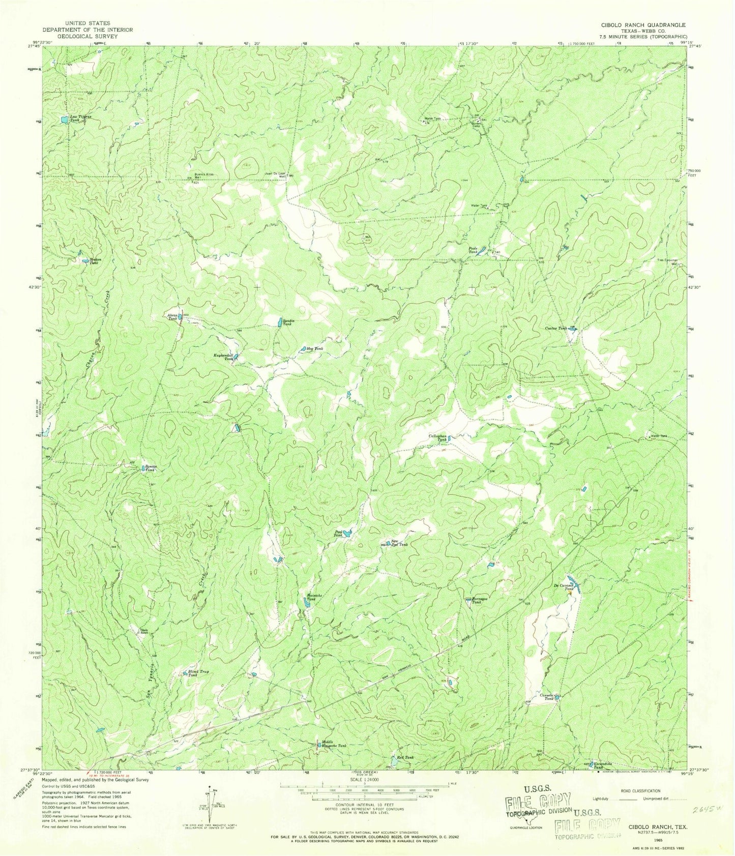
Classic USGS Cibolo Ranch Texas 7.5'x7.5' Topo Map
Couldn't load pickup availability
Historical USGS topographic quad map of Cibolo Ranch in the state of Texas. Map scale may vary for some years, but is generally around 1:24,000. Print size is approximately 24" x 27"
This quadrangle is in the following counties: Webb.
The map contains contour lines, roads, rivers, towns, and lakes. Printed on high-quality waterproof paper with UV fade-resistant inks, and shipped rolled.
Contains the following named places: Abras Tank, Baylor County Free Library, Blind Trap Tank, Bonita Tank, Borden Camp, Borregos Tank, Broken Tank, Buenos Aires Well, Callaghan Tank, Casuela Tank, Cibolo Ranch, Cuates Tank, De Cavasos Tank, El Pato Spring, Escondida Tank, Hog Tank, Huisache Tank, Juan De Leon Well, Kuykendall Tank, Las Tijeras Tank, Middle Huisache Tank, New Pool Tank, Pool Tank, Poole Tank, Red Tank, Sandia Tank, Tres Esquinas Well


