MyTopo
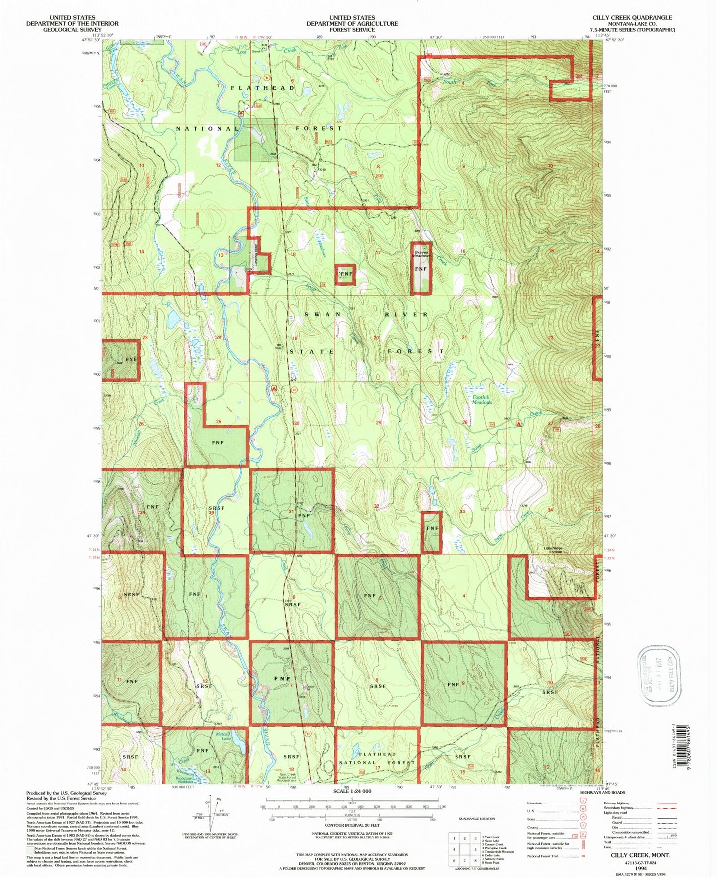
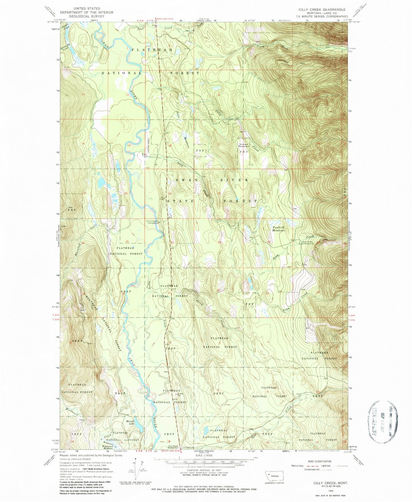
Classic USGS Cilly Creek Montana 7.5'x7.5' Topo Map
Couldn't load pickup availability
Historical USGS topographic quad map of Cilly Creek in the state of Montana. Map scale may vary for some years, but is generally around 1:24,000. Print size is approximately 24" x 27"
This quadrangle is in the following counties: Lake.
The map contains contour lines, roads, rivers, towns, and lakes. Printed on high-quality waterproof paper with UV fade-resistant inks, and shipped rolled.
Contains the following named places: 24N17W07BCAA01 Well, Cilly Creek, Foothill Meadows, Graves Meadows, In-pa-ah Creek, Lost Creek, Metcalf Lake, Napa Creek, North Fork Lost Creek, Perry Creek, Point Pleasant Campground, Porcupine Creek, Soup Creek, Soup Creek Campground, South Fork Lost Creek, South Woodward Creek, State Meadows, Swan River Correctional Training Center, Swan River State Forest Headquarters, Whitetail Creek, Woodward Creek