MyTopo
Classic USGS Cincinnatus New York 7.5'x7.5' Topo Map
Couldn't load pickup availability
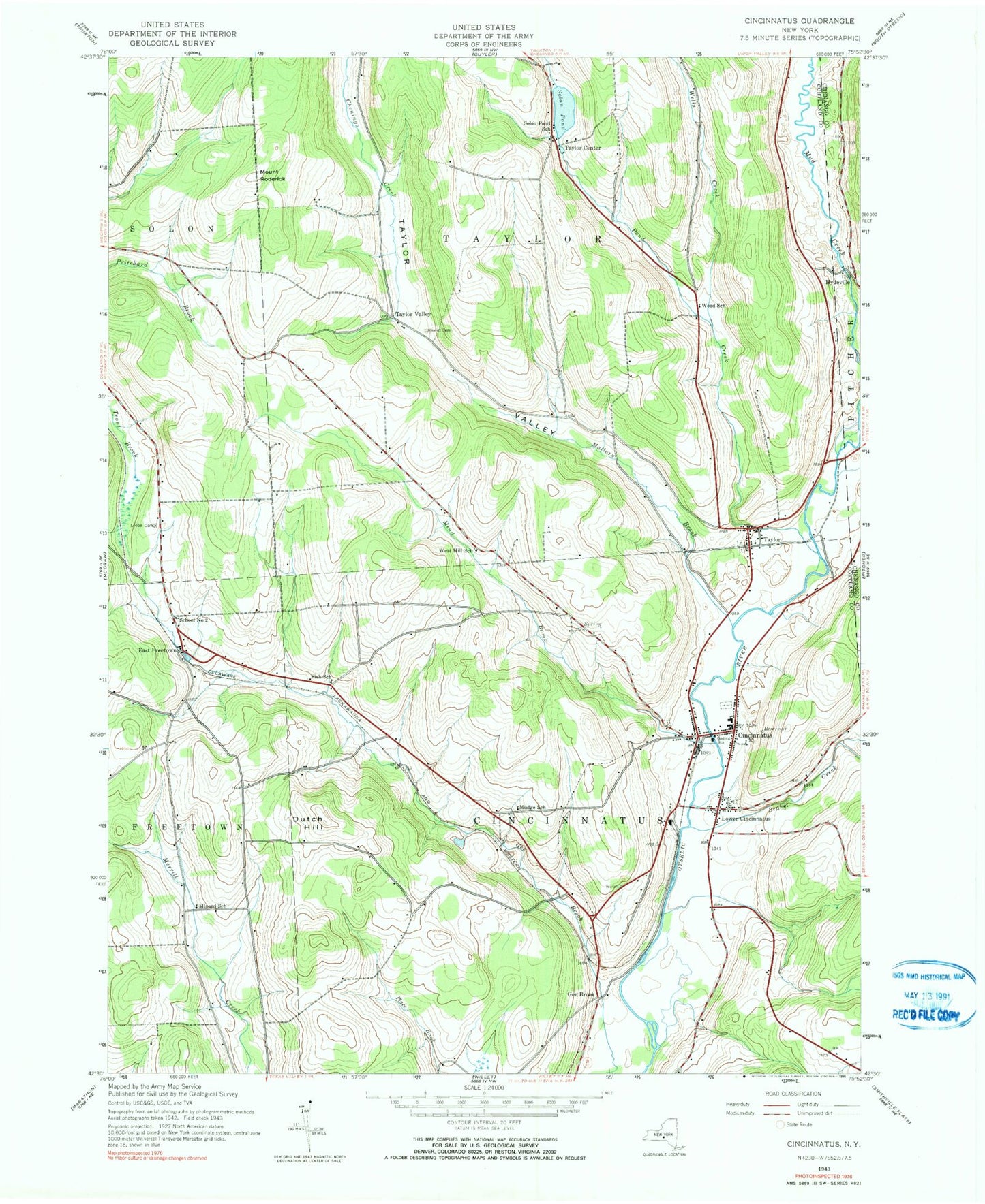
Historical USGS topographic quad map of Cincinnatus in the state of New York. Map scale may vary for some years, but is generally around 1:24,000. Print size is approximately 24" x 27"
This quadrangle is in the following counties: Chenango, Cortland.
The map contains contour lines, roads, rivers, towns, and lakes. Printed on high-quality waterproof paper with UV fade-resistant inks, and shipped rolled.
Contains the following named places: Brakel Creek, Cincinnatus, Cincinnatus Cemetery, Cincinnatus Elementary School, Cincinnatus High School, Cincinnatus Middle School, Cincinnatus Post Office, Cincinnatus Volunteer Fire Department, Dutch Hill, East Freetown, First Baptist Church, Fish School, Gee Brook, Hawley Cemetery, Holland Cemetery, Holmes Cemetery, Hydeville, Kellogg Free Library, Knickerbocker Country Club, Loope Cemetery, Lower Cincinnatus, Lower Cincinnatus Cemetery, Mallory Brook, Mead Brook, Minard School, Mount Roderick, Mudge School, Our Lady of Perpetual Help Church, Pond Creek, School Number 2, School Number 6, School Number 7, Solon Pond, Solon Pond School, Taylor, Taylor Cemetery, Taylor Center, Taylor Valley, Taylor Wesleyan Church, Town of Cincinnatus, Town of Taylor, United Presbyterian Church, Wells Creek, West Hill School, Wood School, ZIP Code: 13040