MyTopo
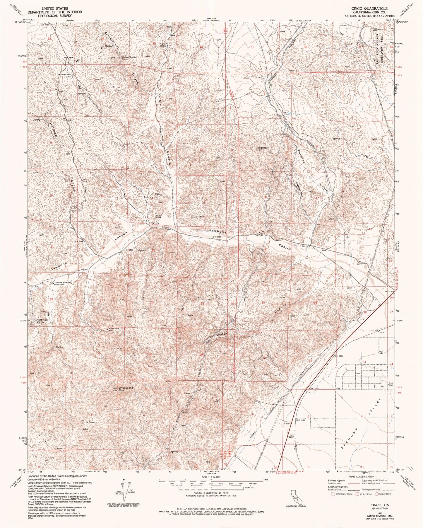
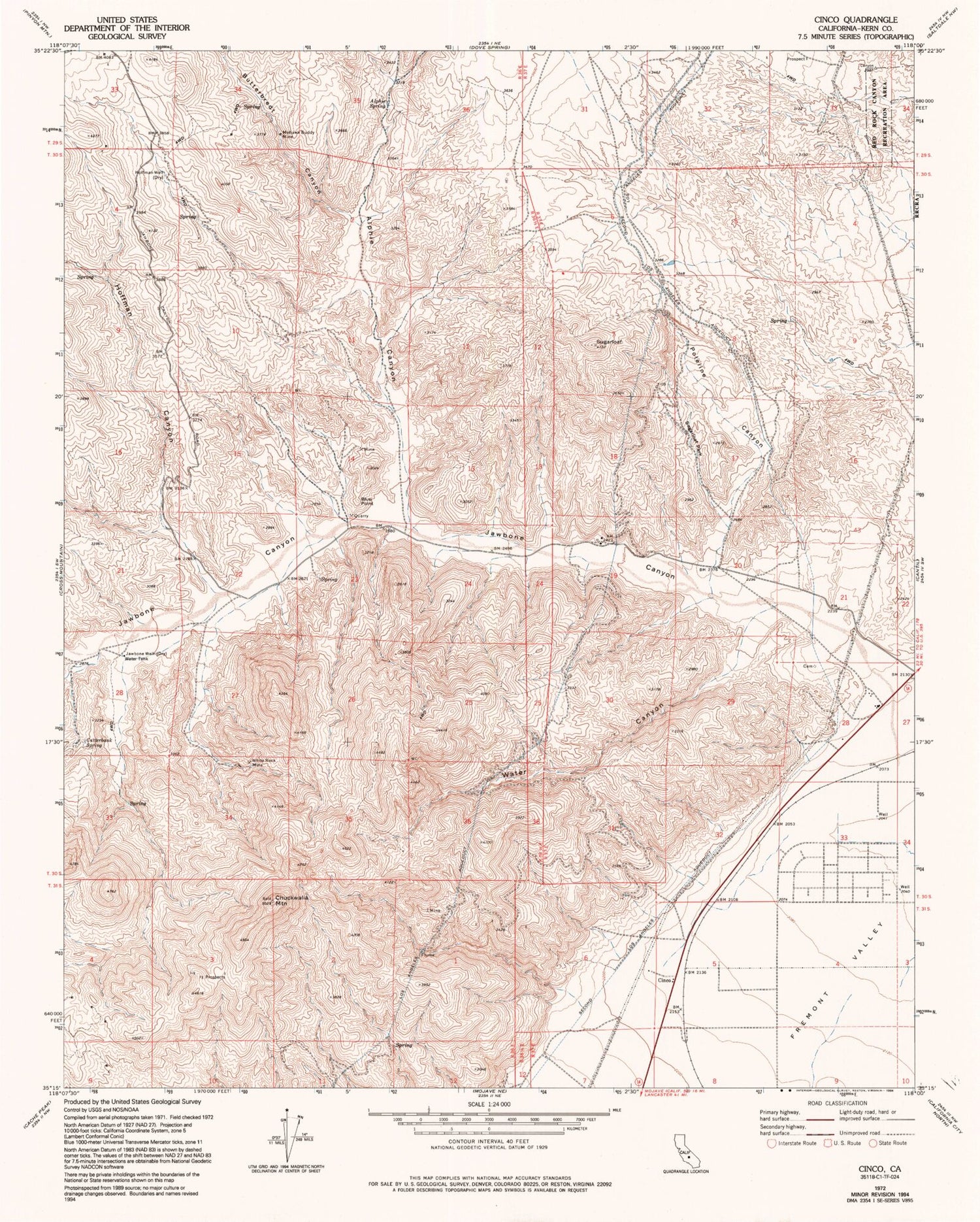
Classic USGS Cinco California 7.5'x7.5' Topo Map
Couldn't load pickup availability
Historical USGS topographic quad map of Cinco in the state of California. Typical map scale is 1:24,000, but may vary for certain years, if available. Print size: 24" x 27"
This quadrangle is in the following counties: Kern.
The map contains contour lines, roads, rivers, towns, and lakes. Printed on high-quality waterproof paper with UV fade-resistant inks, and shipped rolled.
Contains the following named places: Alphie Spring, Chuckwalla Mountain, Cutterbank Spring, Hoffman Canyon, Hoffman Well, Jawbone Well, Mohawk Buddy Mine, Poleline Canyon, Sugarloaf, Sugarloaf Park, Water Canyon, White Rock Mine, Alphie Canyon, Butterbredt Canyon, Jawbone Canyon, Second Los Angeles Aqueduct, Blue Point, Cinco, Big Four Mine, Blue Point Mine, Carbonate Prospect, Granite King Mine, Mammouth Prospect, Miles Prospect, Miller Ranch Prospect, Picture Rock Mine, Silver Lady Prospect, White Swan Prospect, P X Canyon, Hagen Canyon Natural Preserve


