MyTopo
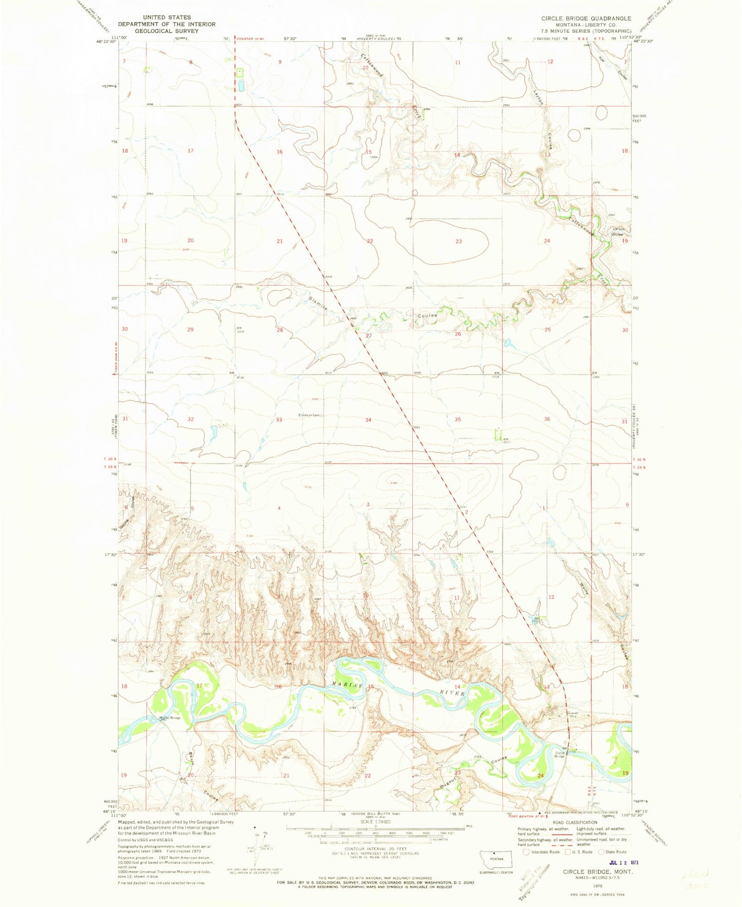
Classic USGS Circle Bridge Montana 7.5'x7.5' Topo Map
Regular price
$16.95
Regular price
Sale price
$16.95
Unit price
per
Couldn't load pickup availability
Historical USGS topographic quad map of Circle Bridge in the state of Montana. Map scale may vary for some years, but is generally around 1:24,000. Print size is approximately 24" x 27"
This quadrangle is in the following counties: Liberty.
The map contains contour lines, roads, rivers, towns, and lakes. Printed on high-quality waterproof paper with UV fade-resistant inks, and shipped rolled.
Contains the following named places: 29N06E24ACAD01 Spring, 30N07E30BCBD01 Well, Basin Coulee, Circle Bridge, Dugout Coulee, Erickson Cemetery, George, George Post Office, Larson Coulee, Layton Coulee, Moffat Bridge, Sixmile Coulee