MyTopo
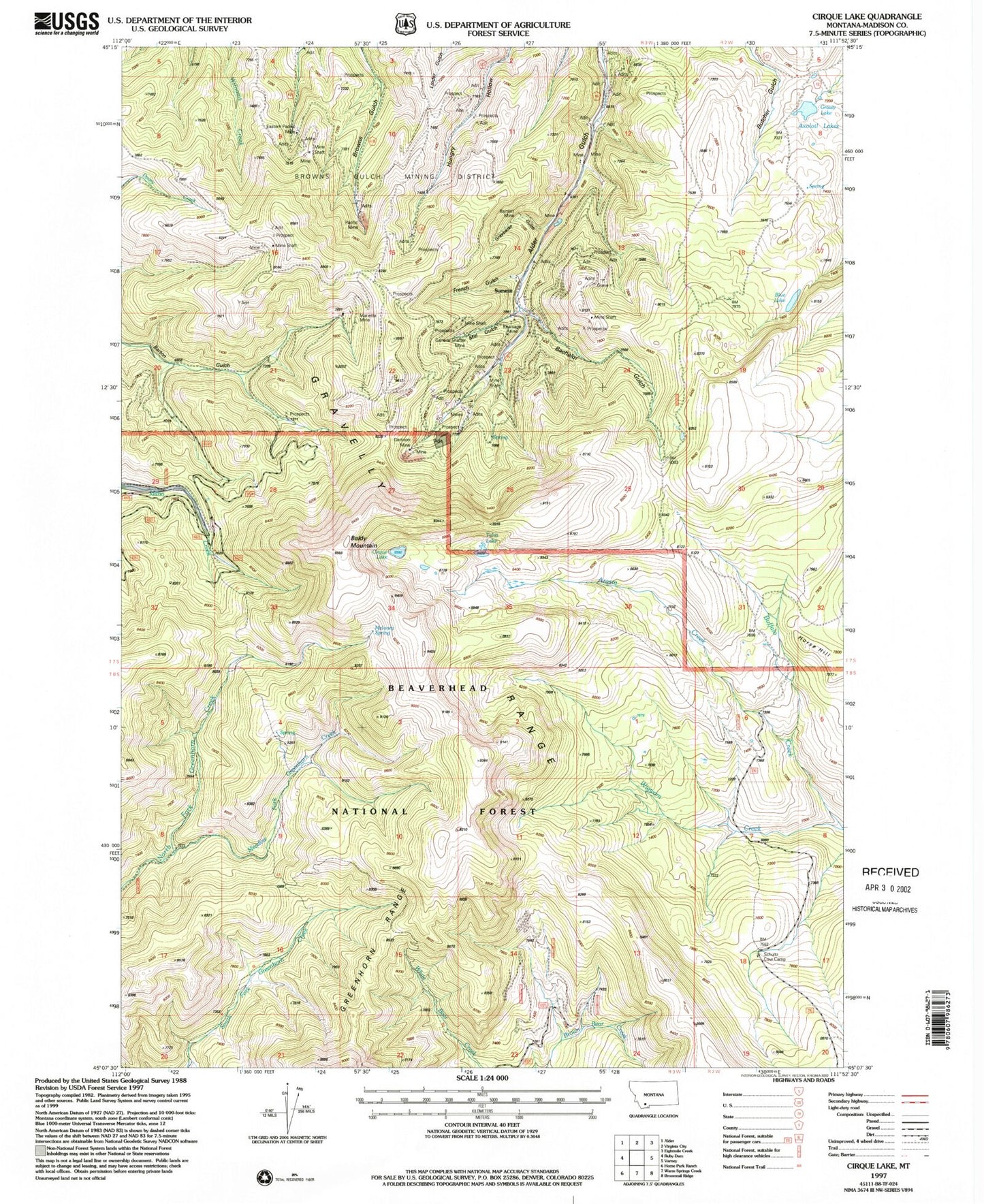
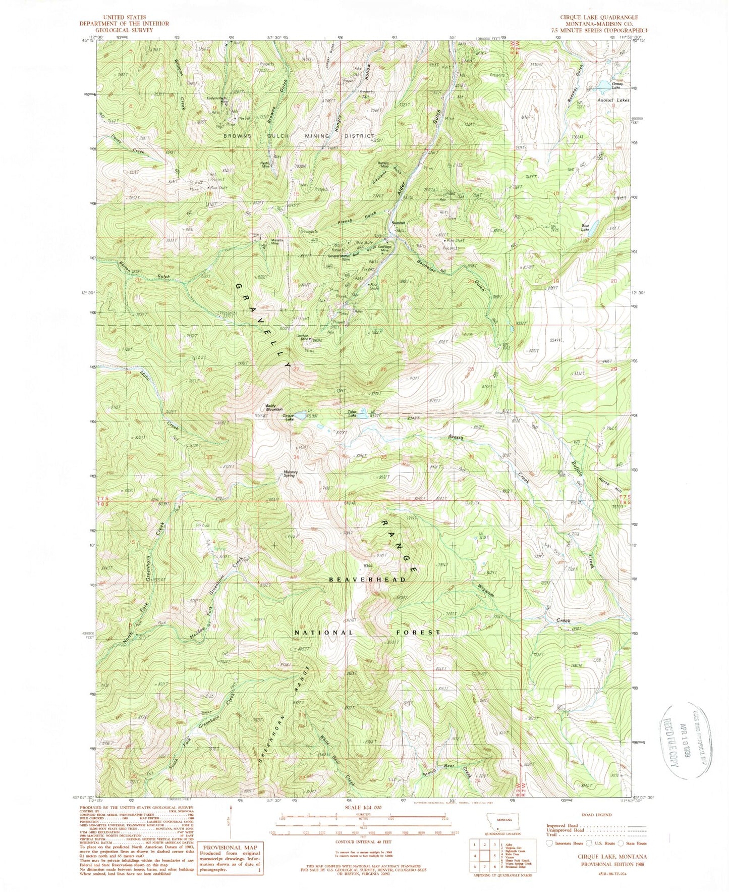
Classic USGS Cirque Lake Montana 7.5'x7.5' Topo Map
Couldn't load pickup availability
Historical USGS topographic quad map of Cirque Lake in the state of Montana. Typical map scale is 1:24,000, but may vary for certain years, if available. Print size: 24" x 27"
This quadrangle is in the following counties: Madison.
The map contains contour lines, roads, rivers, towns, and lakes. Printed on high-quality waterproof paper with UV fade-resistant inks, and shipped rolled.
Contains the following named places: Arasta Creek, Bachelor Gulch, Bartlett Mine, Blue Lake, Browns Gulch Mining District, Buffalo Creek, Cirque Lake, Eastern Pacific Mine, French Gulch, Garrison Mine, General Shafter Mine, Greybacke Gulch, Kearsage Mine, Marietta Mine, Meadow Fork Greenhorn Creek, Mill Gulch, North Fork Wigwam Creek, Pacific Mine, Talus Lake, Grassy Lake, Maloney Spring, Middle Axolotl Lake Number 1 Dam, Middle Axolotl Lake Number 2 Dam, South Axolotl Lake Dam, Easton-Pacific Mine, Eagle Black Mine, Giltedge Mine, Kearsage Mine, General Shafter Mine, Bartlett Mine, Apex Mine, J T C Mine, Randolph Mine, Laciede Mine, Blade Mine, Yankee Mine, Copper Mine, Alder Gulch Mine, Nelson Mine, Marietta Mine, Peggy Ann Mine, SW Section 16 Mine, NW Section 16 Mine, Pacific Mine, Garrison Mine, Easton Mine, Dorsey Mine, Atlas/SW Section 13 Mine, Gem Number 1 Mine, Little Mine, Omaha Mine, Sunrise 77 Mine, Tunnel Mine, SE SW Section 13 Mine, Ore Cash Mine, Montana Twister Mine, Saint John Mine, Baldy Mountain, Horse Hill, Summit, Beartown (historical), Summit Post Office (historical), Union City (historical)


