MyTopo
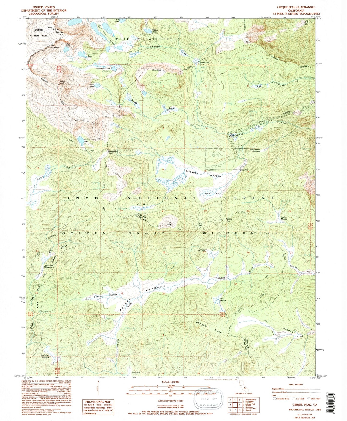
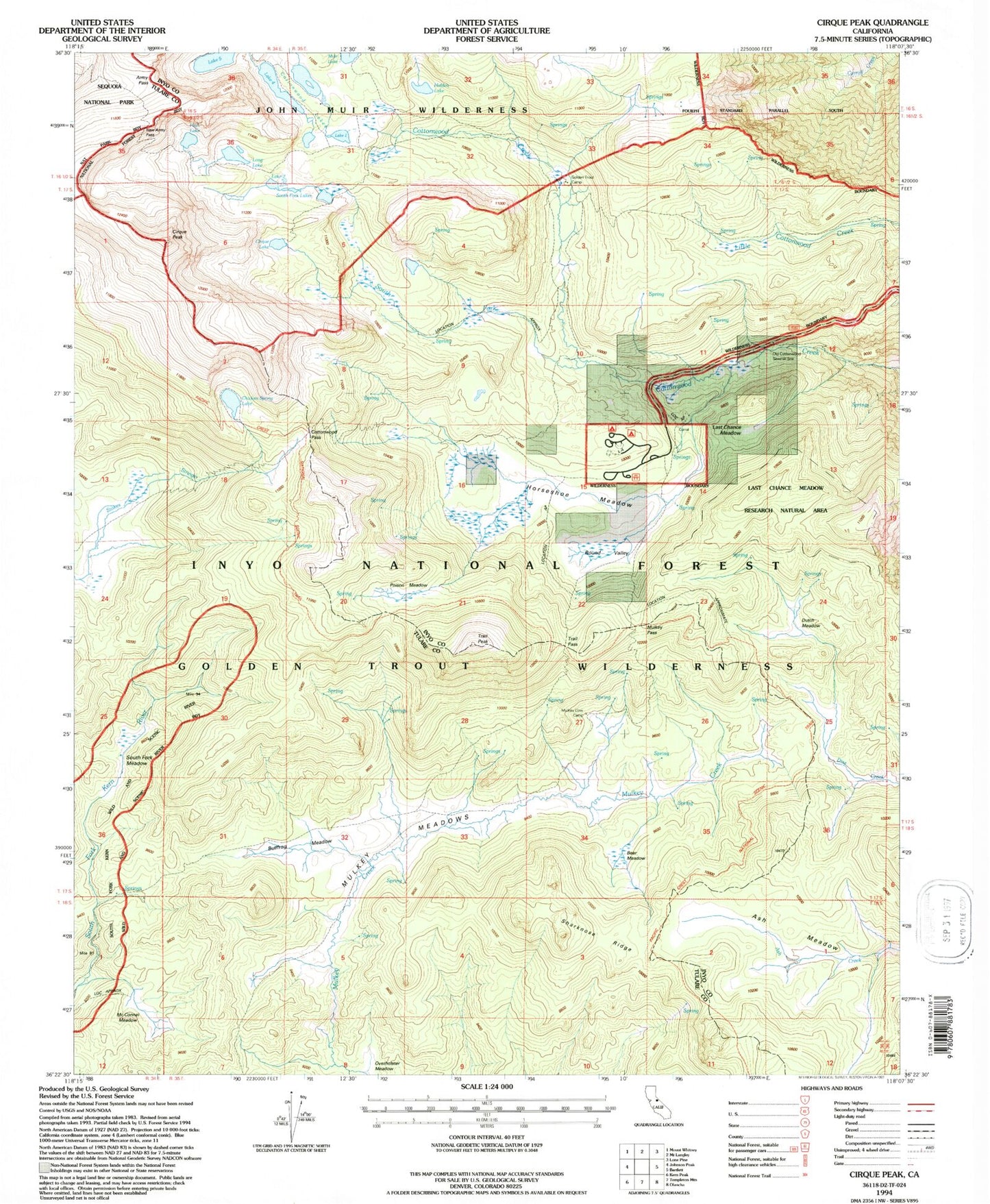
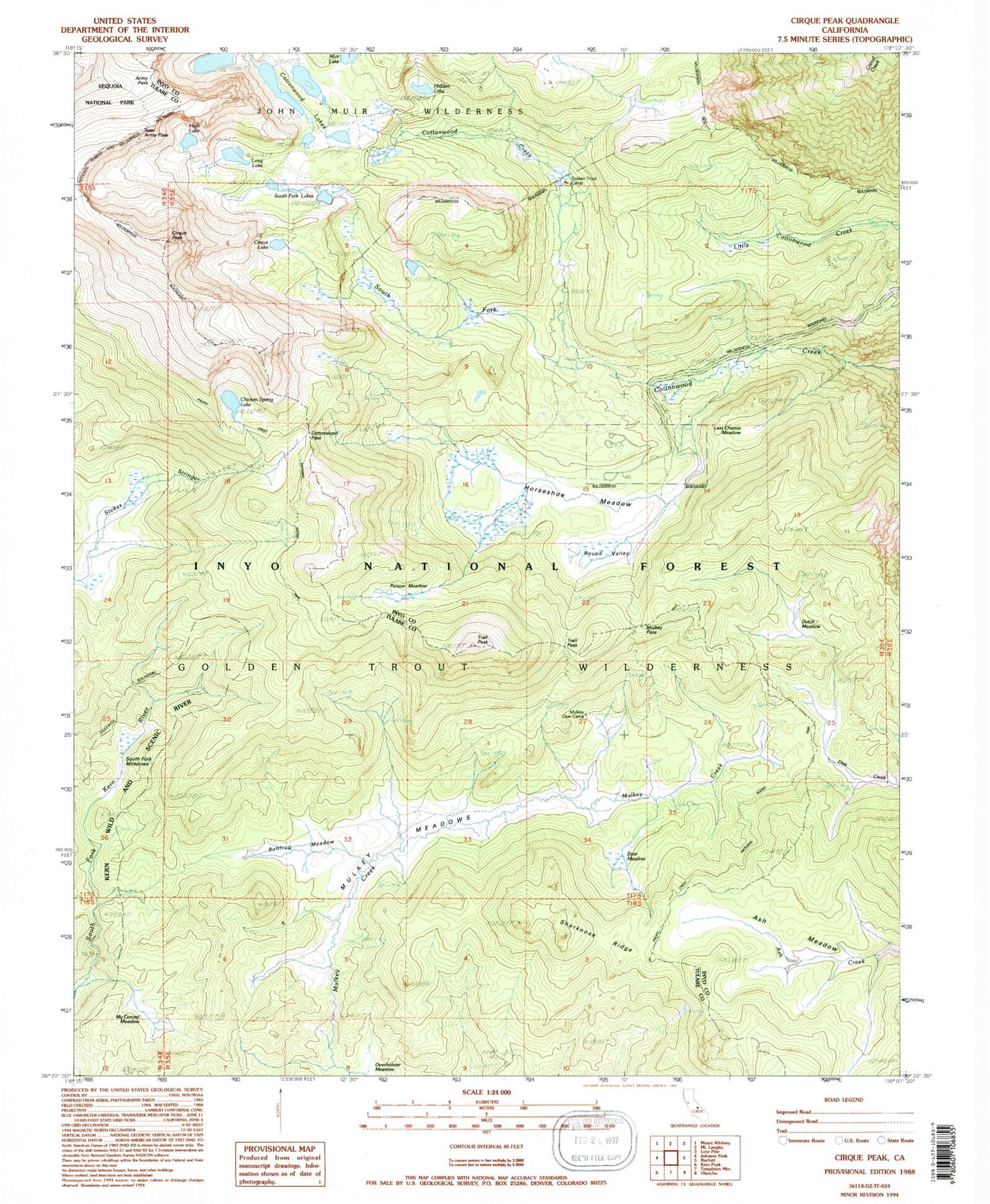
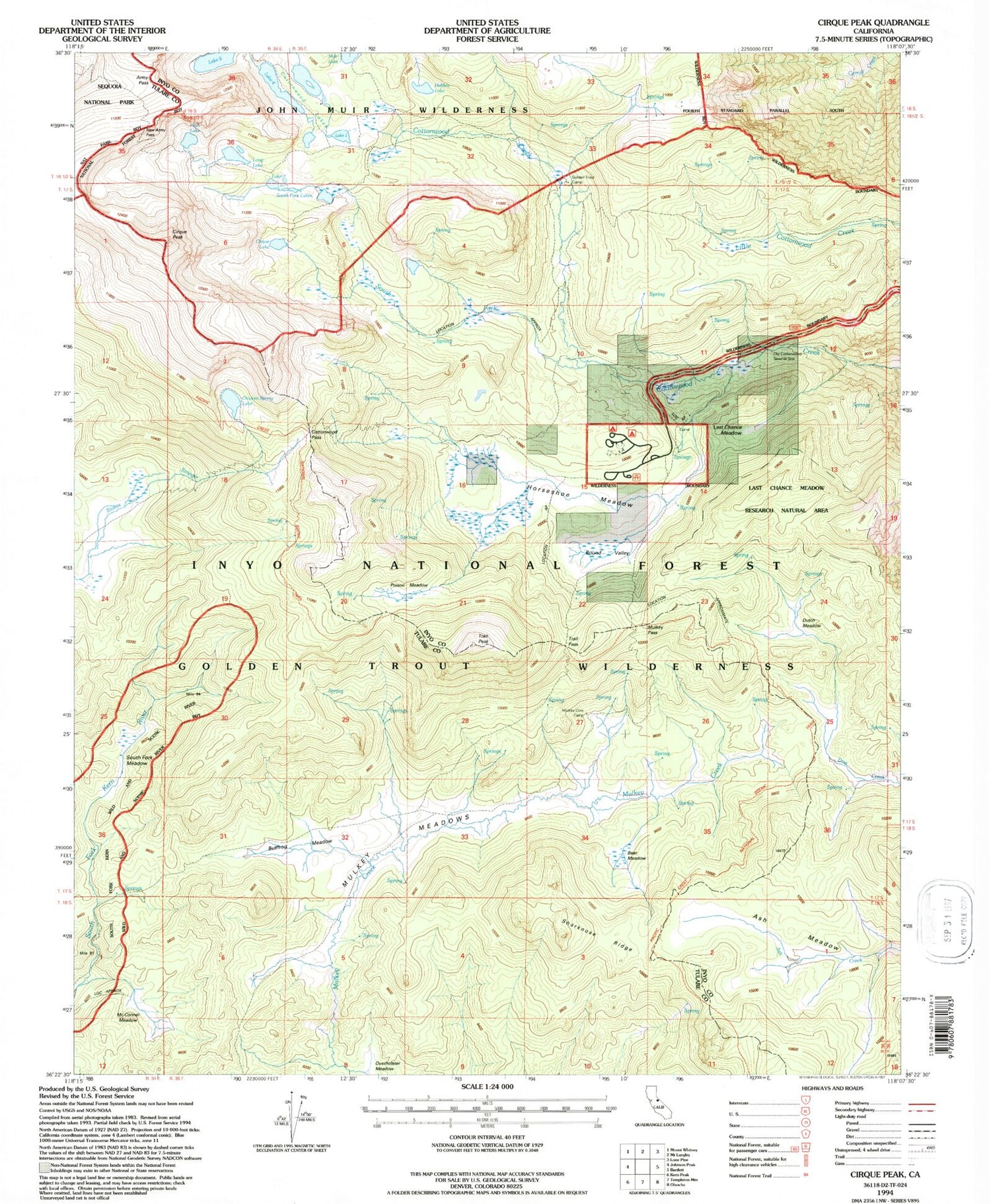
USGS Classic Cirque Peak California 7.5'x7.5' Topo Map
Couldn't load pickup availability
Historical USGS topographic quad map of Cirque Peak in the state of California. Scale: 1:24000. Print size: 24" x 27"
This quadrangle is in the following counties: Inyo, Tulare.
The map contains contour lines, roads, rivers, towns, lakes, and grids including latitude / longitude and UTM / MGRS. Printed on high-quality waterproof paper with UV fade-resistant inks.
Contains the following named places: Army Pass, Ash Meadow, Bear Meadow, Bullfrog Meadow, Chicken Spring Lake, Cirque Lake, Cirque Peak, Cottonwood Lakes, Cottonwood Pass, Cottonwood Sawmill, Dutch Meadow, Golden Trout Camp, Hidden Lake, High Lake, Horseshoe Meadow, Last Chance Meadow, Long Lake, McConnel Meadow, Muah Mountain, Muir Lake, Mulkey Meadows, Mulkey Pass, New Army Pass, Poison Meadow, Round Valley, Sharknose Ridge, South Fork Cottonwood Creek, South Fork Lakes, South Fork Meadows, Trail Pass, Trail Peak, Last Chance Meadow Research Natural Area, Mulkey Cow Camp, Cottonwood Lake Number One, Cottonwood Lake Number Two, Cottonwood Lake Number Three, Cottonwood Lake Number Four


