MyTopo
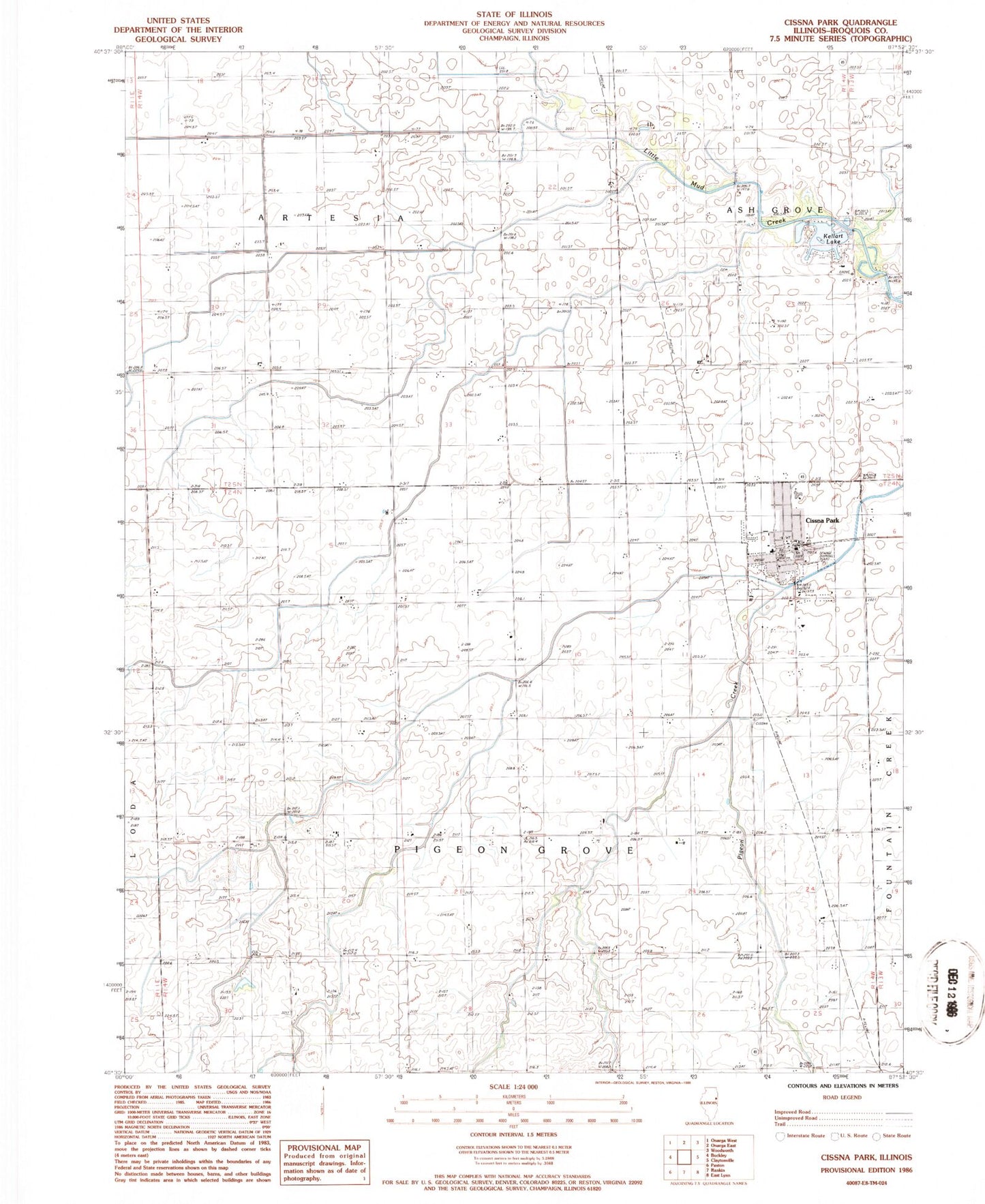
Classic USGS Cissna Park Illinois 7.5'x7.5' Topo Map
Couldn't load pickup availability
Historical USGS topographic quad map of Cissna Park in the state of Illinois. Map scale may vary for some years, but is generally around 1:24,000. Print size is approximately 24" x 27"
This quadrangle is in the following counties: Iroquois.
The map contains contour lines, roads, rivers, towns, and lakes. Printed on high-quality waterproof paper with UV fade-resistant inks, and shipped rolled.
Contains the following named places: Blue Ridge Farm, Bundy School, Cissna Park, Cissna Park Cemetery, Cissna Park Fire Protection District, Cissna Park Police Department, Cissna Park Post Office, Cissna Park Senior High School, D and S Farms, Kaeb Dairy, Kellart Lake, Kellart Lake Dam, Mustard Seed Ranch, North Star School, Pond Lily School, Prairie Dell School, Quaker School, R M Farms, Ruddy School, Spring Dale School, Township of Pigeon Grove, Trinity Lutheran Church, Union Church, Village of Cissna Park, Waldbeser Farm, Young Farms, ZIP Code: 60924