MyTopo
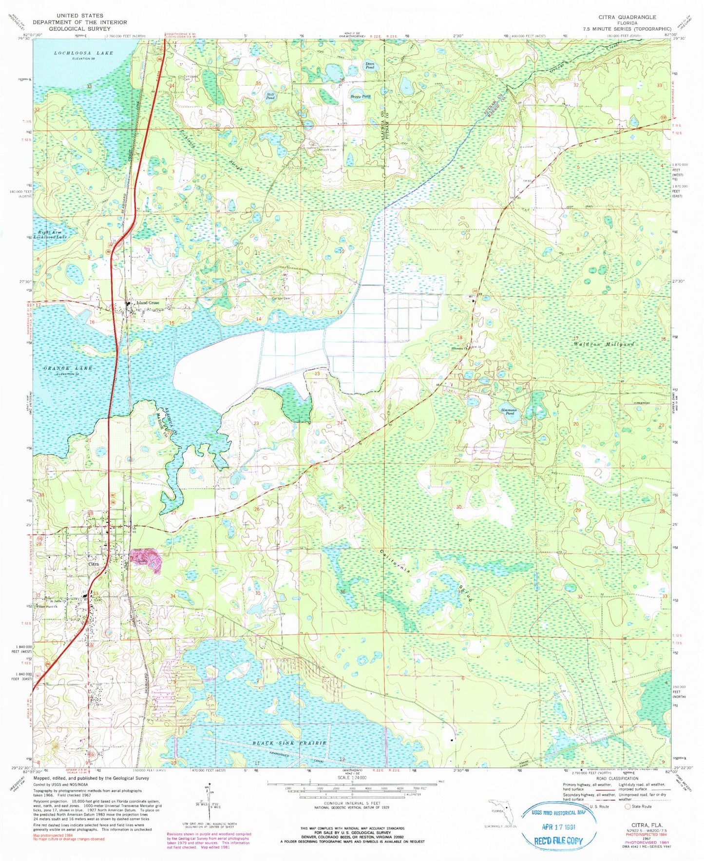
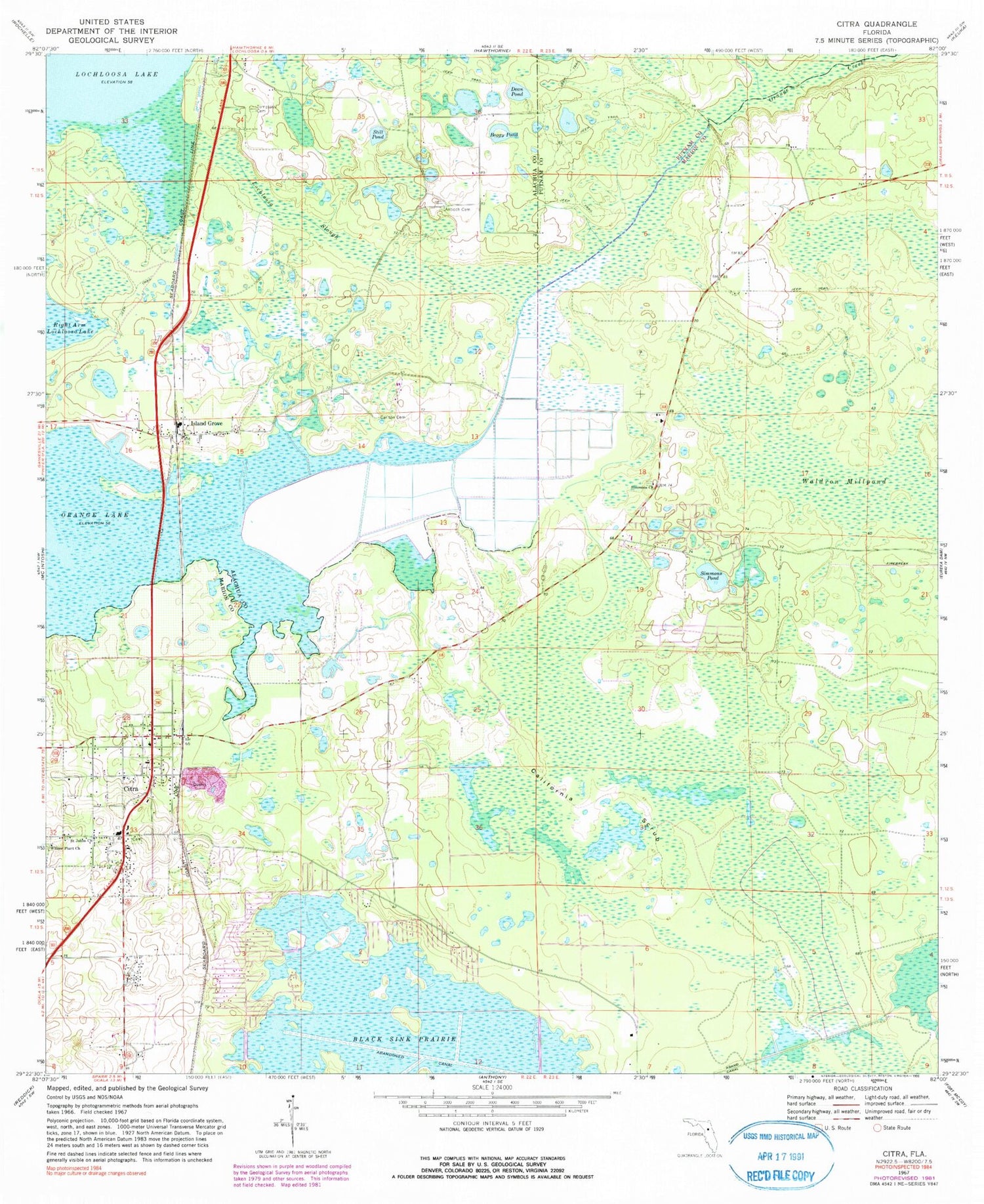
Classic USGS Citra Florida 7.5'x7.5' Topo Map
Couldn't load pickup availability
Historical USGS topographic quad map of Citra in the state of Florida. Map scale may vary for some years, but is generally around 1:24,000. Print size is approximately 24" x 27"
This quadrangle is in the following counties: Alachua, Marion, Putnam.
The map contains contour lines, roads, rivers, towns, and lakes. Printed on high-quality waterproof paper with UV fade-resistant inks, and shipped rolled.
Contains the following named places: 85th Avenue Airstrip, Antioch Cemetery, Black Sink Prairie, Boggy Pond, California Scrub, Carlton Cemetery, Church of God, Church of God By Faith, Citra, Citra Cemetery, Citra Post Office, Citra Seventh Day Adventist Church, Citra United Methodist Church, Cross Creek Volunteer Fire Department Substation, Dean Pond, Deliverance Revival Center, Faith Baptist Church, First Baptist Church of Citra, First United Methodist Church of Citra, Island Grove, Island Grove Baptist Church, Island Grove Post Office, Island Grove Volunteer Fire Department, Lochloosa Slough, Marion County Fire Rescue Station 2 Citra, Marjorie Kennan Rawlings Airport, New Hope United Methodist Church, Saint John AME Church, Simmons Baptist Church, Simmons Cemetery, Simmons Pond, Still Pond, Tompkins Cemetery, Victory Baptist Church, Waldron Millpond, Willow Plant Missionary Baptist Church, ZIP Code: 32113


