MyTopo
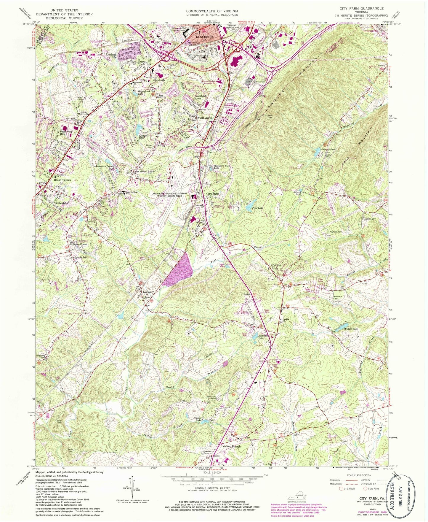
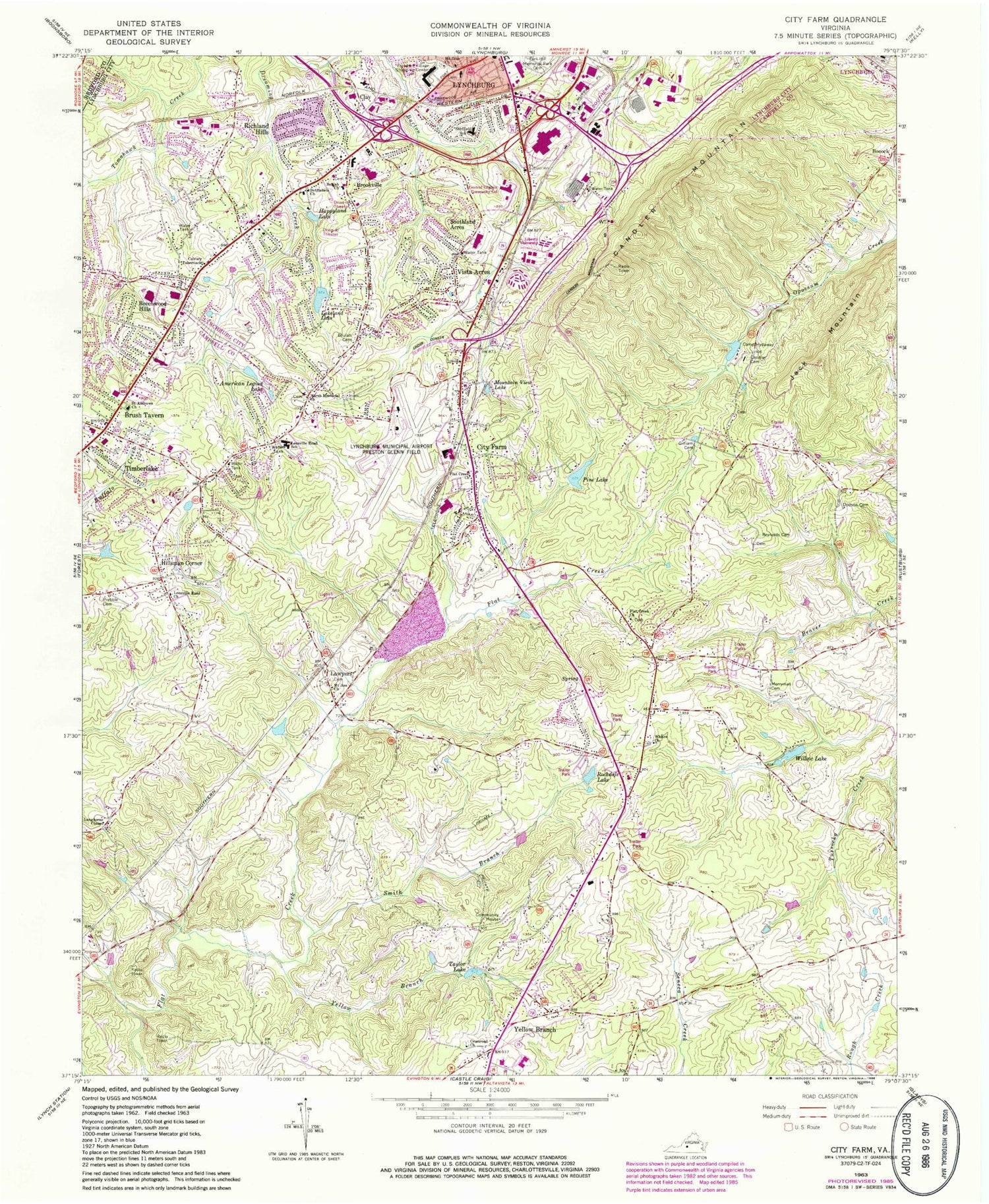
Classic USGS City Farm Virginia 7.5'x7.5' Topo Map
Couldn't load pickup availability
Historical USGS topographic quad map of City Farm in the state of Virginia. Typical map scale is 1:24,000, but may vary for certain years, if available. Print size: 24" x 27"
This quadrangle is in the following counties: Bedford, Campbell, Lynchburg (city).
The map contains contour lines, roads, rivers, towns, and lakes. Printed on high-quality waterproof paper with UV fade-resistant inks, and shipped rolled.
Contains the following named places: American Legion Lake, Beulah Cemetery, Camp Hydaway, Candler Cemetery, Crossroads Church, Dodson Cemetery, Flat Creek Church, Flat Creek Church, Gilliam Cemetery, Hillsman Corner, Langhorne Chapel, Leesville Road Church, Marsh Memorial Church, Merryman Cemetery, Mount Asa Church, Mountain View Lake, Prebble Cemetery, Reynolds Cemetery, Rockdale Lake, Saint Andrews Church, Yellow Branch, Yellow Branch, Smith Branch, Taylor Lake, Whites Church, Willow Lake, Bethlehem Church, Beulah Church, Calvary Tabernacle, Candler Mountain, Fort Hill Village Shopping Center, Happyland Lake, Mount Zion Church, Sheffield Elementary School, Lynchburg Regional Airport/Preston Glenn Field, Camp Hydaway Lake Dam, Camp Hydaway Lake, Pine Lake Dam, Beechwood Hills, Brookville, Brush Tavern, City Farm, Jack Mountain, Lawyers, Richland Hills, Southland Acres, Vista Acres, Savage Farm Airport (historical), WKZZ-FM (Lynchburg), Lakeland Dam, Pine Lake, Lakeland Lake, Belmont Acres, Brookville High School, Brookville Middle School, Candler Mountain School (historical), Cedar Hills Golf Course, Cool Spring, Deer Creek, Green Meadows, Happy Valley, Lanes Well Fork, Leesville Road Elementary School, Lo Roy Acres, Locust Gardens Mobile Home Park, Oak Grove, Powhatan, Russellwood, Seminole Ridge, Sherwood Forest, Sunny Banks, Timbrook Square Shopping Center, Tomahawk Elementary School, Tulip Tree Acres, Vista Acres, Waterlick Plaza Shopping Center, Whetstone Hills, Woodlawn, Yellow Branch Church, Yellow Branch Elementary School, Timberlake Baptist Church, Beulah Church (historical), Central Virginia Community College, Chestnut Hills Shopping Center, College Park, Doral Acres, Lynchburg Fire Department Station 8 Old Graves Mill Road, Forest Dale, Grace Brethren Church, Heritage Elementary School, Heritage High School, Heritage Hills, Kenwood Hills, Liberty University, Lynchburg Regional Small Business Development Center, National Business College, Quaker Memorial Presbyterian Church, River Ridge Mall Shopping Center, Seven Hills Church of Christ, Seven Hills Shopping Center, Sheffield, South River Meeting House (historical), Timberlake Plaza Shopping Center, Tomahawk Industrial Park, Windsor Hills, Woodbine Acres, Sunburst District, Gladys Volunteer Fire Department, Arthur S Demoss Learning Center, B R Lakin Religion Building, Bruckner Learning Center, Carter Glass Mansion, Center for Academic Support & Advising Services, Center for Computer & Information Technology, College of Arts & Sciences, D L P Studios, David's Place, Guillerman Library, Hamcock Athletic Center, Integrated Learning Resource Center, Lahaye Student Center, Liberty Baptist Theological Seminary, Liberty Bible Institute, Liberty University Visitors Center, Matthes-Hopkins Track/Soccer Field, Reber Thomas Dining Hall, Reserve Officer's Training Corps Office, Schilling Annex, Schilling Center, School of Business, School of Communication, Spiritual Life & Academic Building, Vines Center, Worthington Field, Timberlake Census Designated Place, Desmond T Doss Academy, Central Virginia Governor's School, Campbell County Technical Center, Lyn - Dan Heights Volunteer Fire Department, Virginia State Police Med-Flight III, Lynchburg Regional Airport Aircraft Rescue Fire Fighting, Lawyers Road Quarry, Fort Hill Post Office


