MyTopo
Classic USGS City Point NW Wisconsin 7.5'x7.5' Topo Map
Regular price
$16.95
Regular price
Sale price
$16.95
Unit price
per
Couldn't load pickup availability
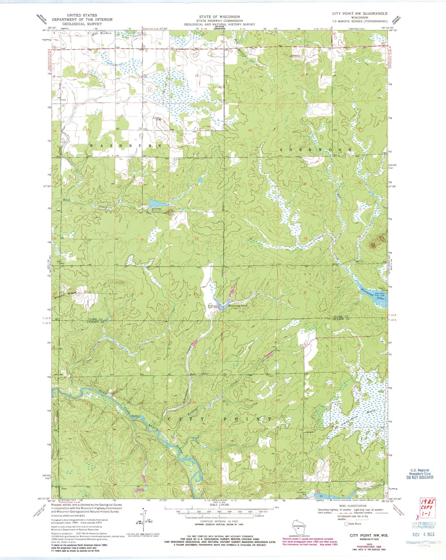
Historical USGS topographic quad map of City Point NW in the state of Wisconsin. Map scale may vary for some years, but is generally around 1:24,000. Print size is approximately 24" x 27"
This quadrangle is in the following counties: Clark, Jackson.
The map contains contour lines, roads, rivers, towns, and lakes. Printed on high-quality waterproof paper with UV fade-resistant inks, and shipped rolled.
Contains the following named places: 1.95 Reservoir, Knutes Creek, Lake 21-7 8, Qualley E1854 Dam, Schumann Creek, Sherwood Lake, Town of Sherwood, Town of Washburn, Washwood Pond