MyTopo
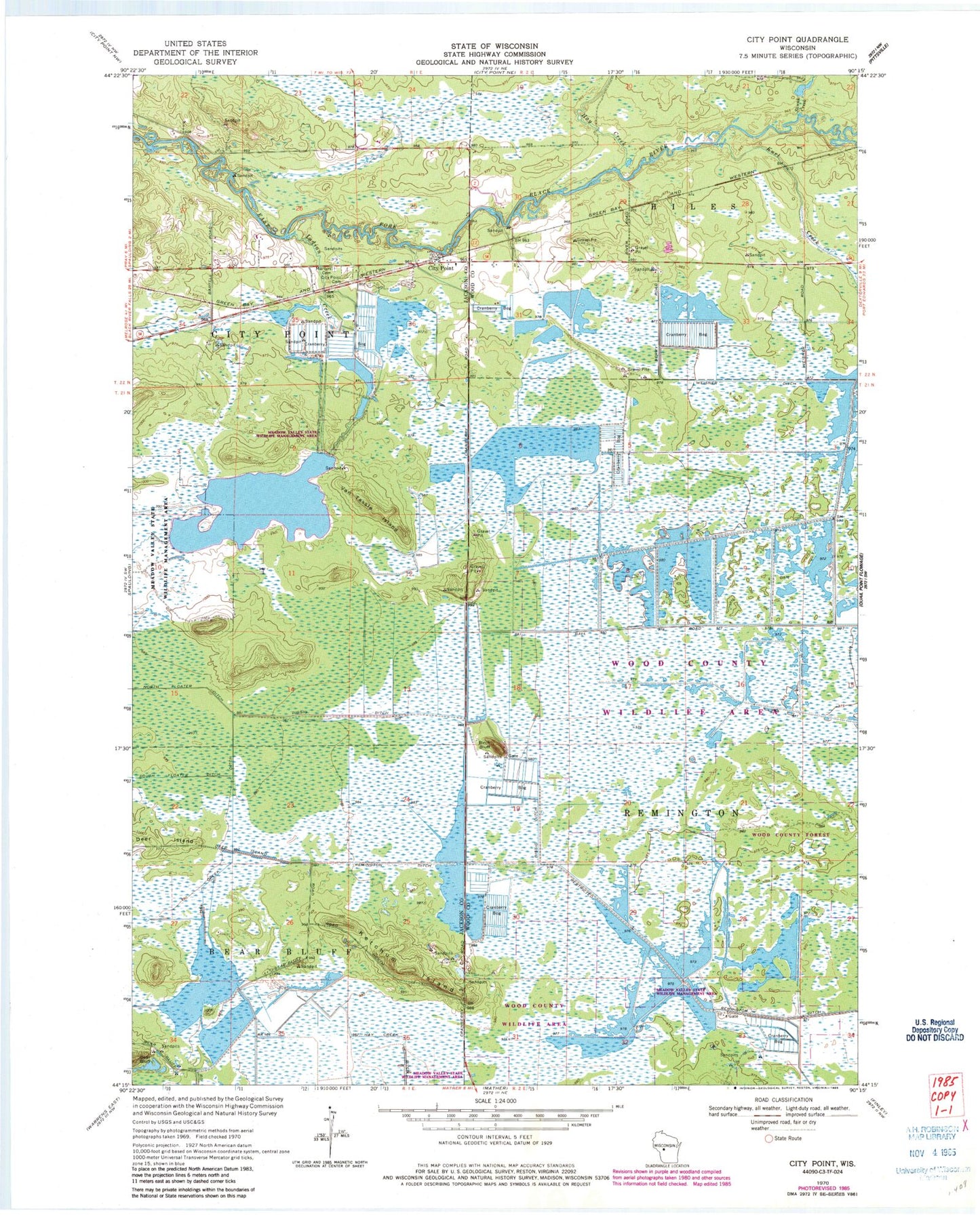
Classic USGS City Point Wisconsin 7.5'x7.5' Topo Map
Couldn't load pickup availability
Historical USGS topographic quad map of City Point in the state of Wisconsin. Map scale may vary for some years, but is generally around 1:24,000. Print size is approximately 24" x 27"
This quadrangle is in the following counties: Jackson, Wood.
The map contains contour lines, roads, rivers, towns, and lakes. Printed on high-quality waterproof paper with UV fade-resistant inks, and shipped rolled.
Contains the following named places: 20 Reservoir, 54641, Beaver Creek 11 Dam, Birch Bluff, Bissig Ditch, City Point, City Point Catholic Cemetery, City Point Cemetery, Deer Island, Hay Creek, Hay Creek Ditch, Indian Creek, Kert Creek 2 C-6118 Dam, Kert Creek 3 C 6118 Dam, Ketchum Island, Kurt Creek, Lake 10-6, Lake 28-11 8, Lake 29-8 9, Lake 30-7, Lake 3-1 16, Meadow Valley State Wildlife Management Area, Remington 16 C 6118 Dam, Remington 5 C 6118 Dam, Remington 9 C 6118 Dam, Remington Ditch, Skunk Creek, Turner Creek, Van Tassle Island, Weisner Ditch


