MyTopo
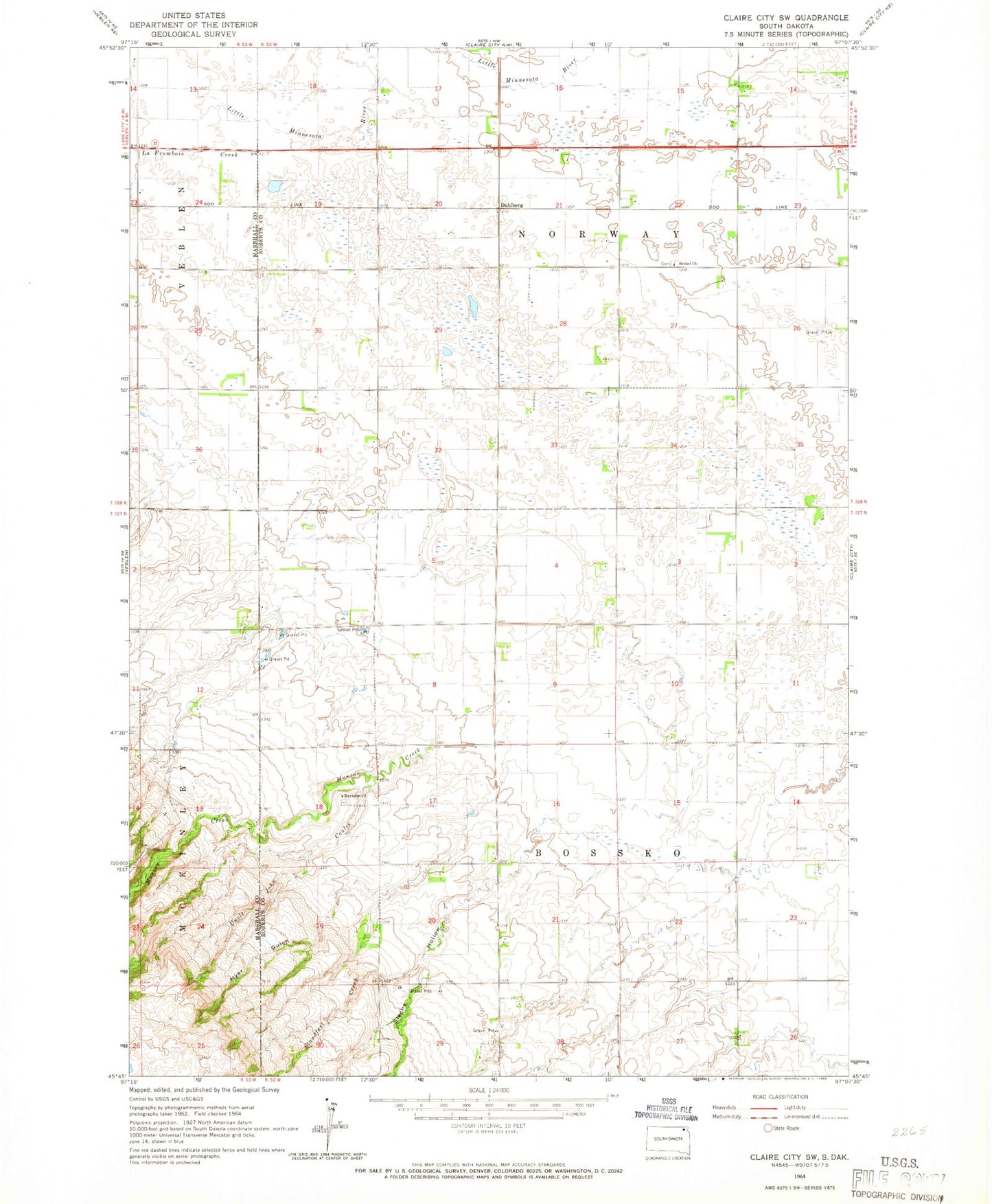
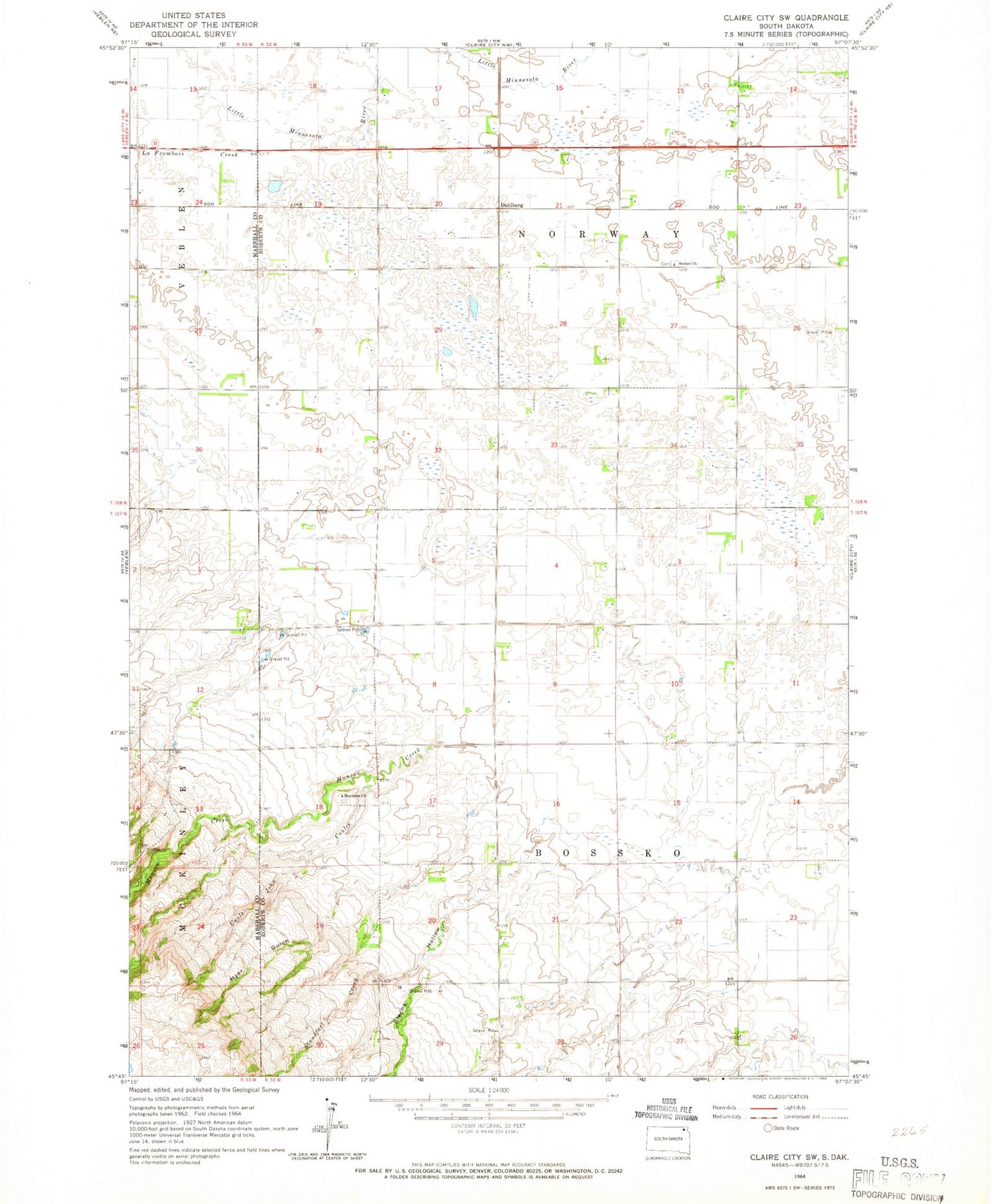
Classic USGS Claire City SW South Dakota 7.5'x7.5' Topo Map
Couldn't load pickup availability
Historical USGS topographic quad map of Claire City SW in the state of South Dakota. Map scale may vary for some years, but is generally around 1:24,000. Print size is approximately 24" x 27"
This quadrangle is in the following counties: Marshall, Roberts.
The map contains contour lines, roads, rivers, towns, and lakes. Printed on high-quality waterproof paper with UV fade-resistant inks, and shipped rolled.
Contains the following named places: Bethel, Bethel Church, Bethel Lutheran Cemetery, Bethel School, Dahlberg, LaFrambois Creek, Mayasan Presbyterian Cemetery, Mayason Church, Munson Creek, Myer Gulch, Otto, School Number 1, School Number 2, Sieche Hollow, Spring Valley Cemetery, Standfast Creek, Township of Bossko, Uncle John Coulee, Vig, ZIP Code: 57224