MyTopo
Classic USGS Clanton East Alabama 7.5'x7.5' Topo Map
Couldn't load pickup availability
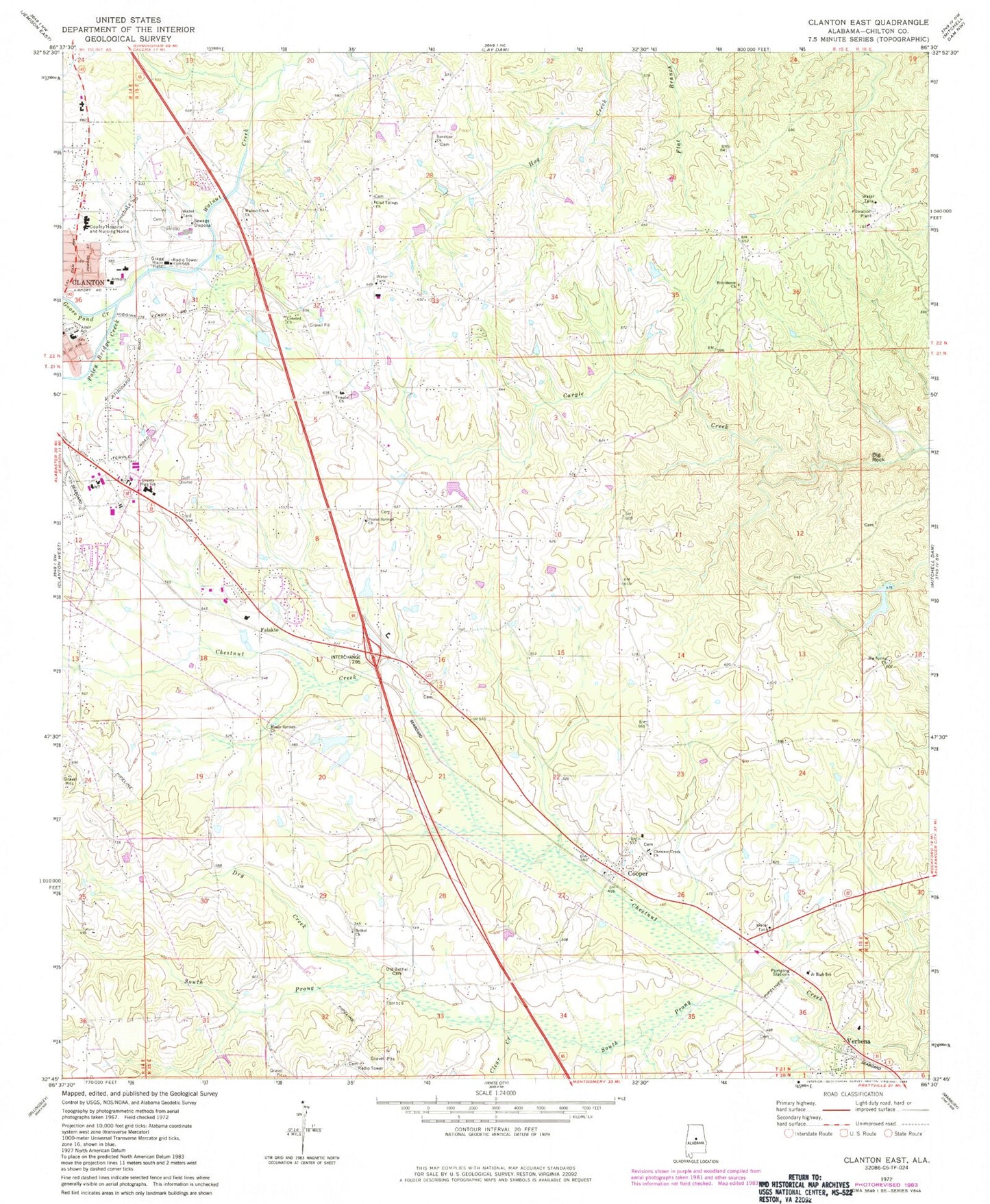
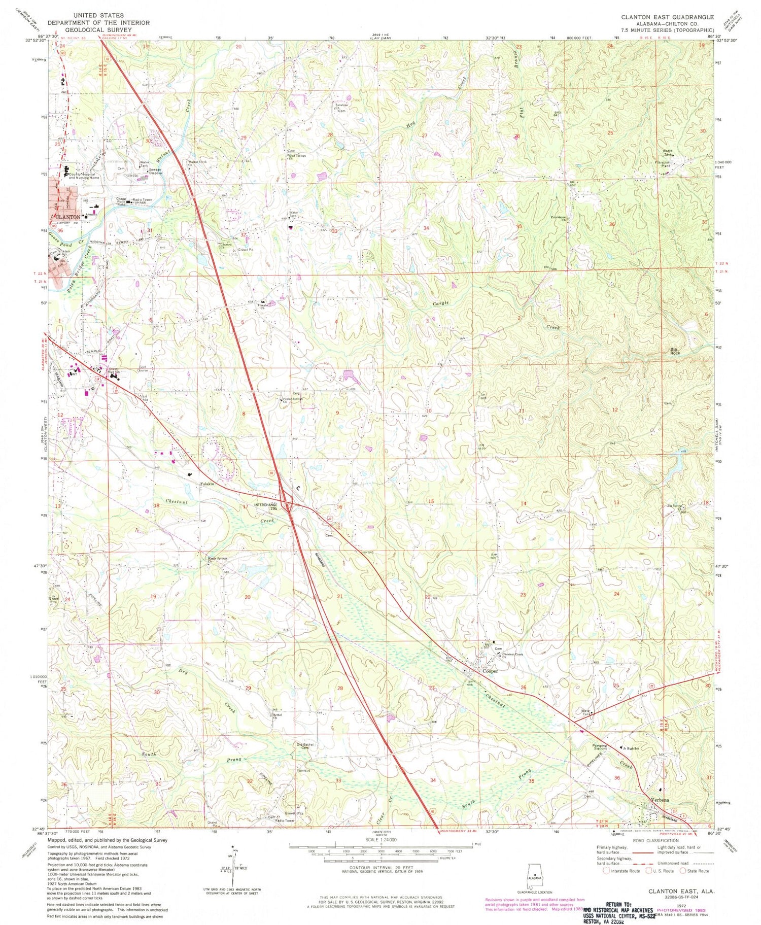
Historical USGS topographic quad map of Clanton East in the state of Alabama. Map scale may vary for some years, but is generally around 1:24,000. Print size is approximately 24" x 27"
This quadrangle is in the following counties: Chilton.
The map contains contour lines, roads, rivers, towns, and lakes. Printed on high-quality waterproof paper with UV fade-resistant inks, and shipped rolled.
Contains the following named places: Adair School, Aldridge Family Cemetery, Bethel Cemetery, Bethel Primitive Baptist Church, Big Rock, Big Spring Church, Chestnut Creek Baptist Church, Chestnut Creek Cemetery, Chestnut Post Office, Chilton County Airport, Chilton County High School, Chilton Medical Center, Chilton Memorial Gardens, City of Clanton, Clanton Cemetery, Clanton Division, Clanton Fire and Rescue Department Station 2, Clanton Golf and Country Club, Clear Creek, Clearview Mission Church, Concord Baptist Church, Concord Cemetery, Cooper, Cooper School, Cross Roads Church, Dry Creek, East Chilton Volunteer Fire and Rescue, Eastview Cemetery, Falakto, Glad Tidings Cemetery, Glad Tidings Church of Christ, Goldwaithe and Walkers Goldmine, Goose Pond Creek, Grantville, J T Stewart Lake Dam, Maple Springs Baptist Church, Maple Springs Cemetery, Mount Pisgah Church, Oak Grove Church of God Cemetery, Old Bethel Cemetery, Poley Bridge Creek, Poplar Springs Baptist Church, Poplar Springs Cemetery, Popwell Cemetery, Providence Baptist Church, Providence Cemetery, Shelton Barkley Lake, Shelton Barkley Lake Dam, South Prong Chestnut Creek, Sunshine Assembly of God Church, Sunshine Cemetery, T J Stewart Lake, Temple Assembly of God Church, Temple Cemetery, Thomas Junior High School, Tiger Stadium, Verbena Baptist Church, Verbena Cemetery, Verbena Division, Verbena Junior High School, Verbena Post Office, Verbena Volunteer Fire and Rescue 16, Walnut Creek Cemetery, Walnut Creek Methodist Church, ZIP Code: 36091


