MyTopo
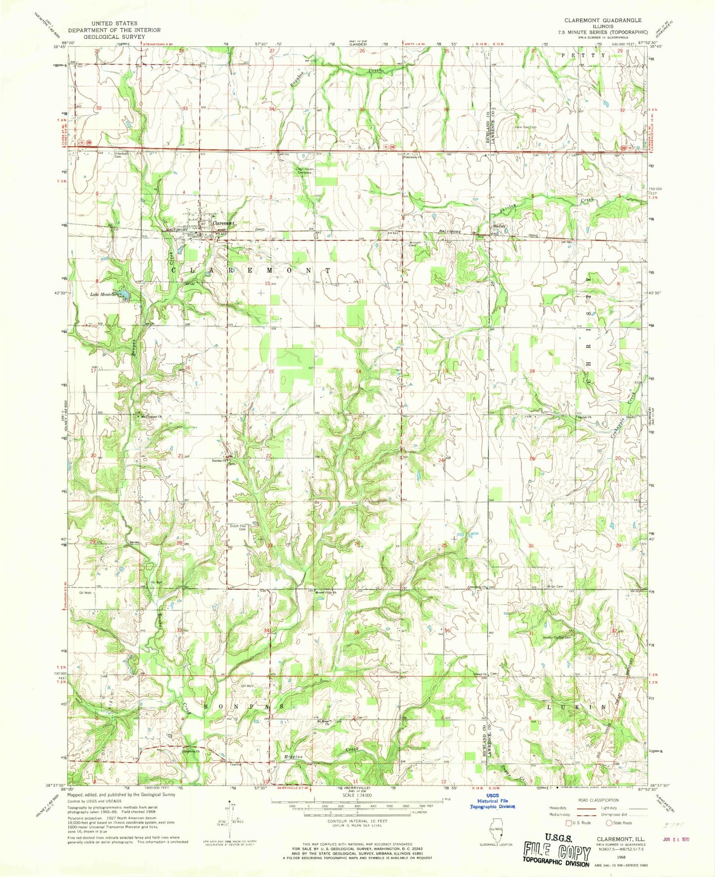
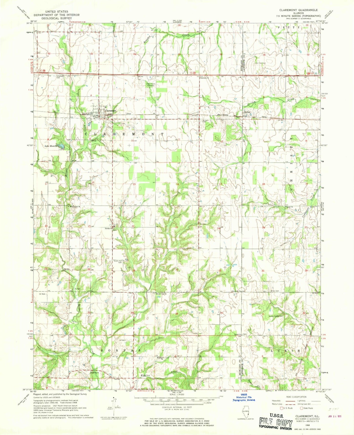
Classic USGS Claremont Illinois 7.5'x7.5' Topo Map
Couldn't load pickup availability
Historical USGS topographic quad map of Claremont in the state of Illinois. Map scale may vary for some years, but is generally around 1:24,000. Print size is approximately 24" x 27"
This quadrangle is in the following counties: Lawrence, Richland.
The map contains contour lines, roads, rivers, towns, and lakes. Printed on high-quality waterproof paper with UV fade-resistant inks, and shipped rolled.
Contains the following named places: Antioch Cemetery, Antioch Church, Berryville Vineyards, Beulah Church, Beulah School, Blackoak School, Bonpas Townhall, Breston School, Brian Cemetery, Brinkley Cemetery, Buckhorn School, Centenary Church, Center School, Claremont, Claremont - Bonpas Fire Protection District Station 1, Claremont Elementary School, Claremont Post Office, Crest Haven Memorial Park, Dutch Flat Cemetery, Eureka Cemetery, Eureka Church, Eureka School, Gilead Cemetery, Gilead Church, Hadley, Hadley School, Hickory Point School, Lafayette School, Lake Montclare, Lawrence Correctional Center, Lone Tree Cemetery, Moore School, Mount Hope Cemetery, Mount Hope Church, Mount Olive Cemetery, Mount Olive Church, Mount Pleasant Cemetery, Mount Pleasant Church, Mulberry School, Otterbein Cemetery, Otterbein Church, Prairieton Church, Township of Claremont, Union School, Utterback Cemetery, Village of Claremont, Wesley Chapel Cemetery


