MyTopo
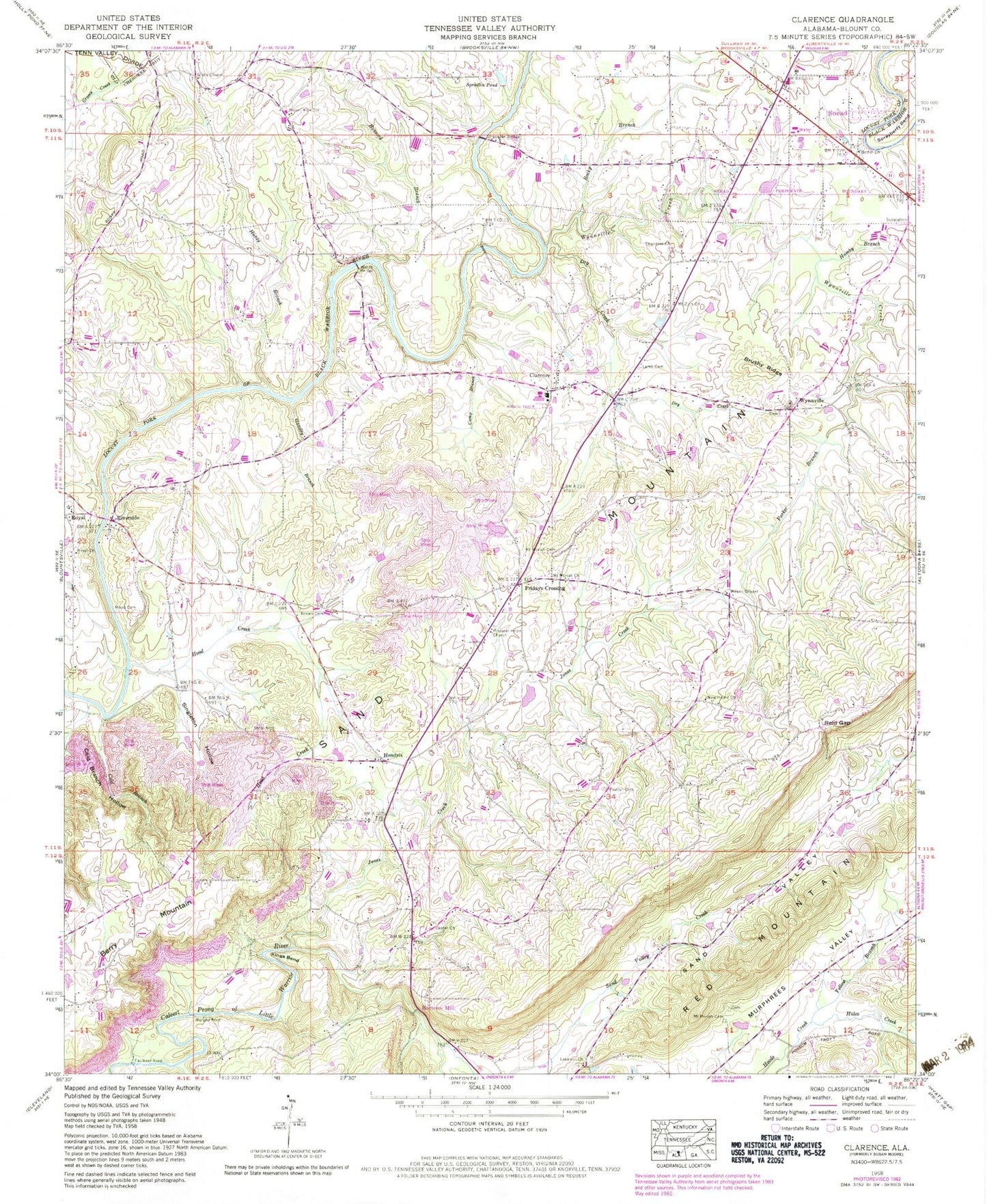
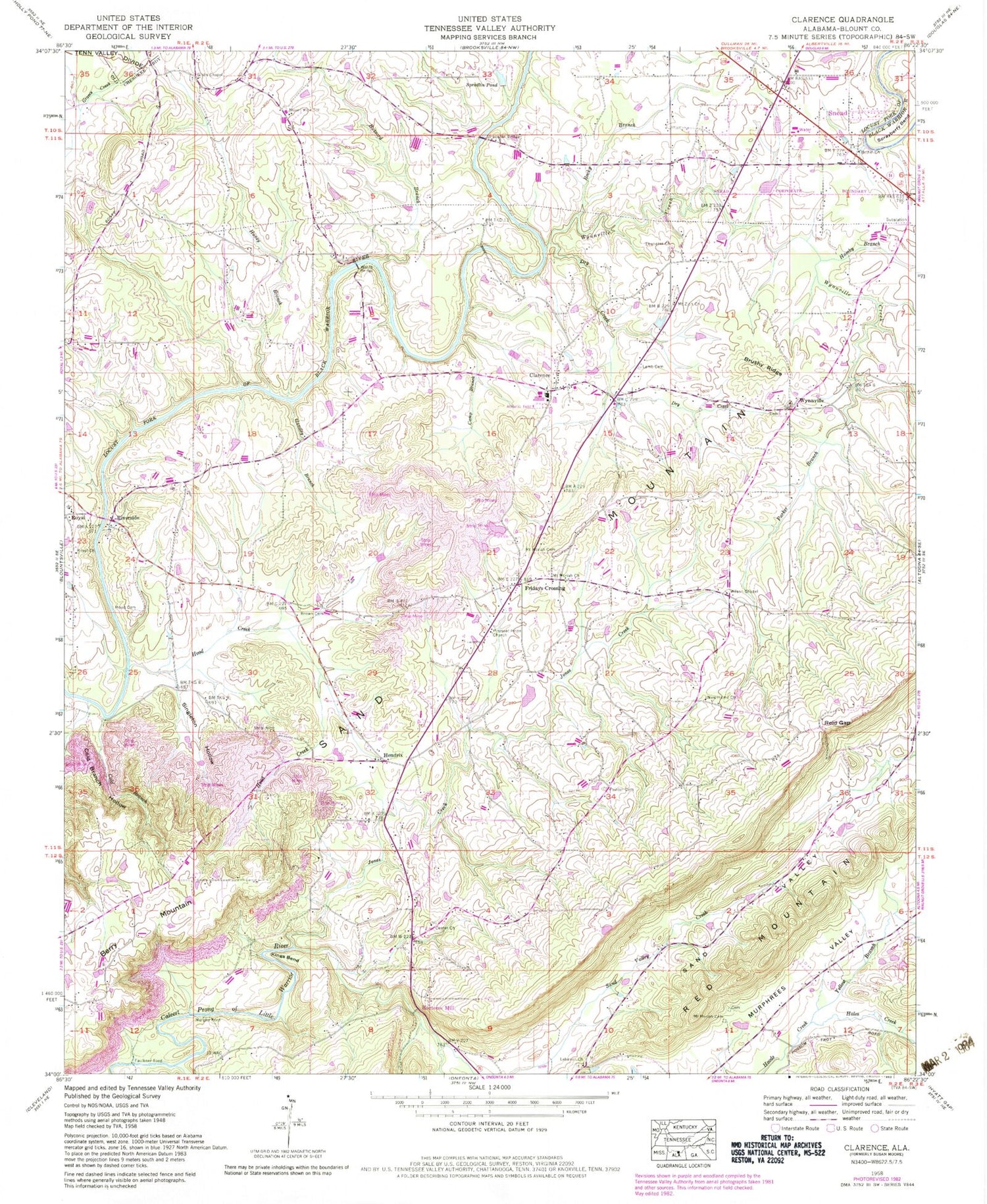
Classic USGS Clarence Alabama 7.5'x7.5' Topo Map
Couldn't load pickup availability
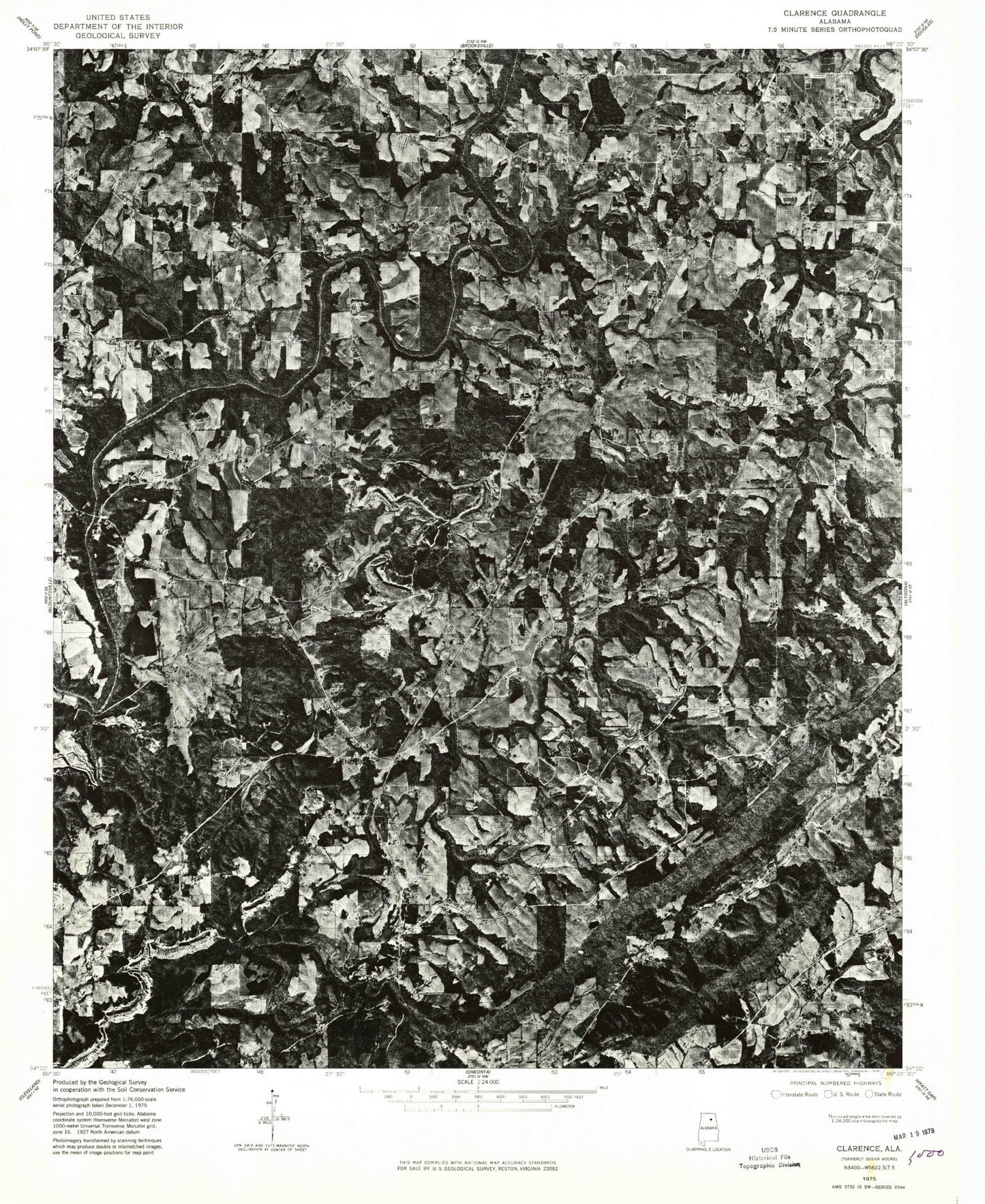
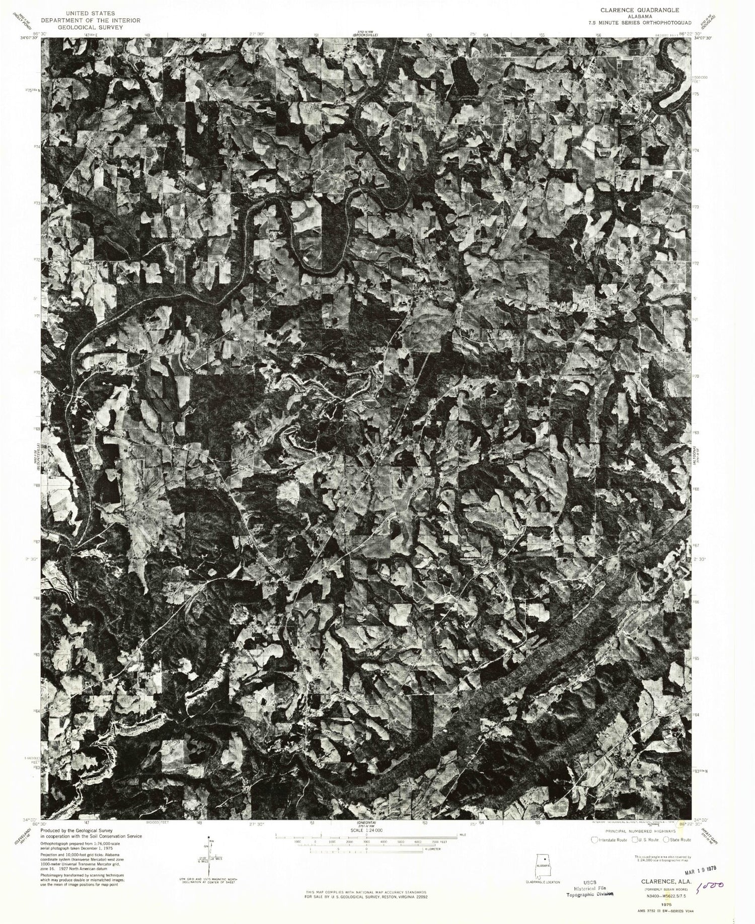
Historical USGS topographic quad map of Clarence in the state of Alabama. Map scale may vary for some years, but is generally around 1:24,000. Print size is approximately 24" x 27"
This quadrangle is in the following counties: Blount.
The map contains contour lines, roads, rivers, towns, and lakes. Printed on high-quality waterproof paper with UV fade-resistant inks, and shipped rolled.
Contains the following named places: Bethel Baptist Church, Bird, Brown Cemetery, Brushy Ridge, Buzzard Branch, Bynum Cemetery, Camp Branch, Center Church, Clarence Division, Cold Branch, Cold Branch Hollow, Craig, Dry Creek, Ebenezer Methodist Church, Faulkner Ford, Fridays Chapel, Fridays Crossing, Gibbs Chapel, Gibbs Chapel Cemetery, Hales Creek, Hamby Branch, Handley Branch, Hendrix, Hendrix Church, Hendrix Mine, Honey Branch, Hood Cemetery, Hood Creek, Horton Mill Bridge, Hortons Mill, Huldah, Jones Creek, Kenneth Wright Dam, Kings Bend, Lamb Cemetery, Lebanon Cemetery, Lebanon United Methodist Church, Liberty Hill Baptist Church, Maple Hill Golf Course, Mount Moriah Cemetery, Mount Moriah Church, Mount View, Mount View School, Mount Zion Church of God, Murphy Ford, New Home Church, Painter Cemetery, Parker Branch, Pleasant Hope Church, Reid Gap, Riverside, Rocky Branch, Royal Church, Sand Valley Creek, Scott Road Mine, Singleton Hollow, Snead, Snead Police Department, Snead Post Office, Snead Volunteer Fire Department, Spradlin Pond, Sprayberry Bend, Stracener Bridge, Susan Moore, Susan Moore Police Department, Susan Moore School, Susan Moore Volunteer Fire Department, Tappan, Town of Snead, Town of Susan Moore, Wards Bridge, Whippoorwill Creek, Wilson Chapel, Wrights Lake, Wynnville, Wynnville Community Church, Wynnville Creek, Yellow Branch