MyTopo
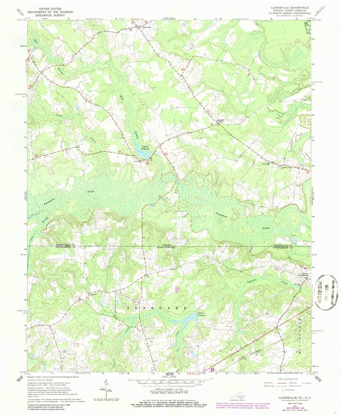
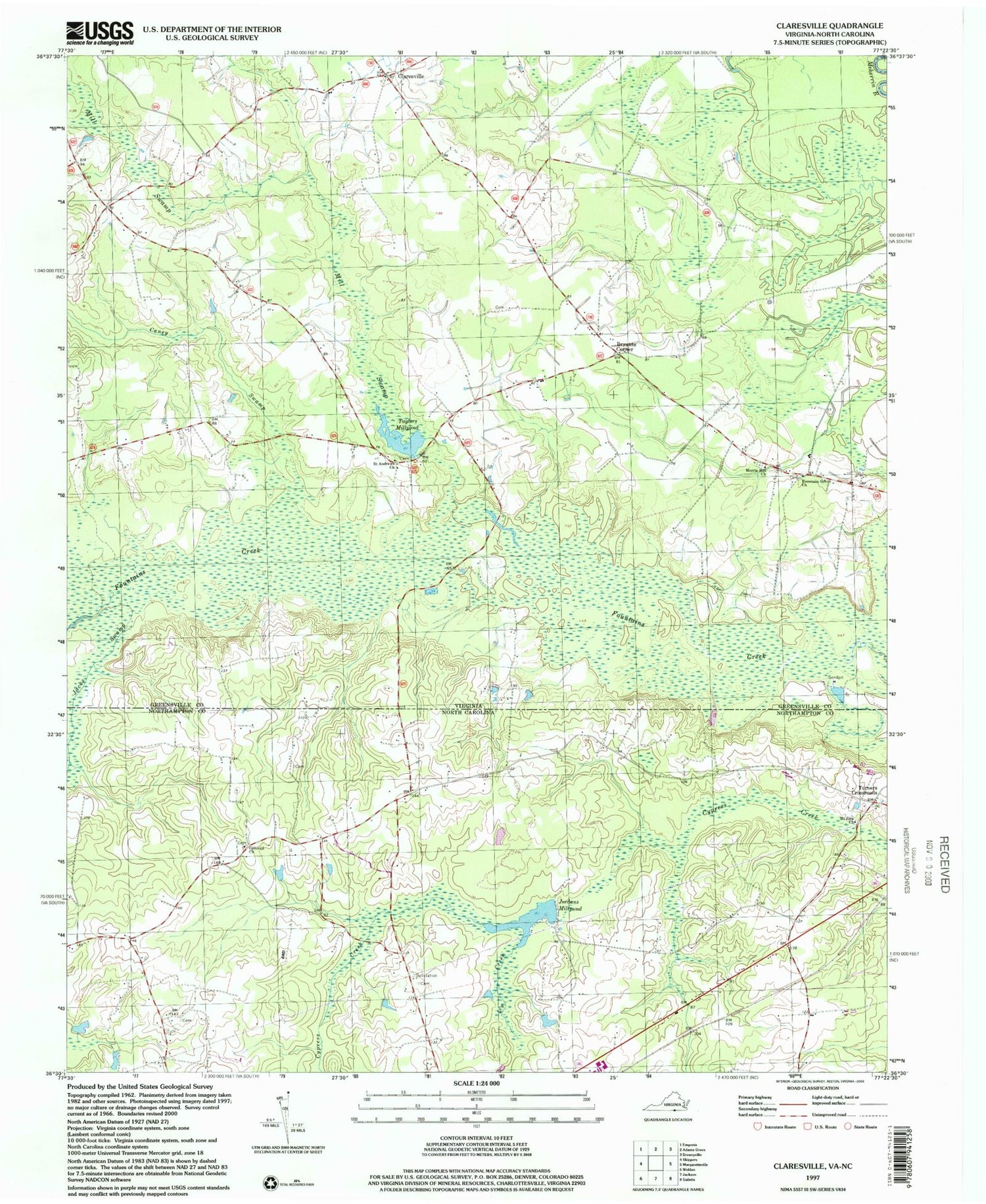
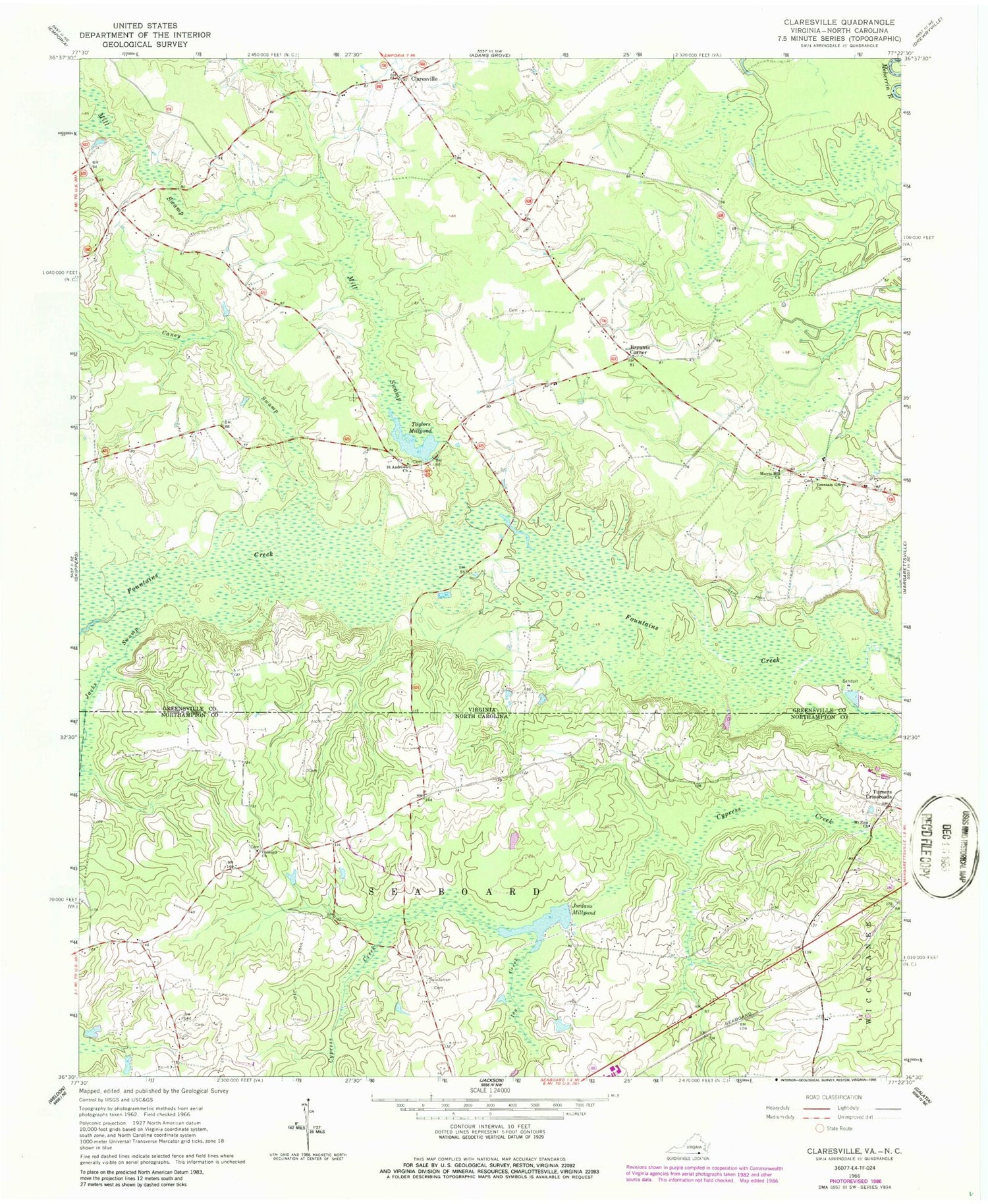
Classic USGS Claresville Virginia 7.5'x7.5' Topo Map
Couldn't load pickup availability
Historical USGS topographic quad map of Claresville in the states of Virginia, North Carolina. Map scale may vary for some years, but is generally around 1:24,000. Print size is approximately 24" x 27"
This quadrangle is in the following counties: Greensville, Northampton, Southampton.
The map contains contour lines, roads, rivers, towns, and lakes. Printed on high-quality waterproof paper with UV fade-resistant inks, and shipped rolled.
Contains the following named places: Bryants Corner, Bryants Dam, Caney Swamp, Claresville, Concord Church, District 1, Fountain Grove Church, Gaskins, Gilahi Farm, Glover Airport, Ivy Creek, Jacks Swamp, Jordans Millpond, Mill Swamp, Morris Hill Church, Mount Zion Church, Saint Andrews Church, Taylors Millpond, Turners Crossroads, Vincents School, Zion District