MyTopo
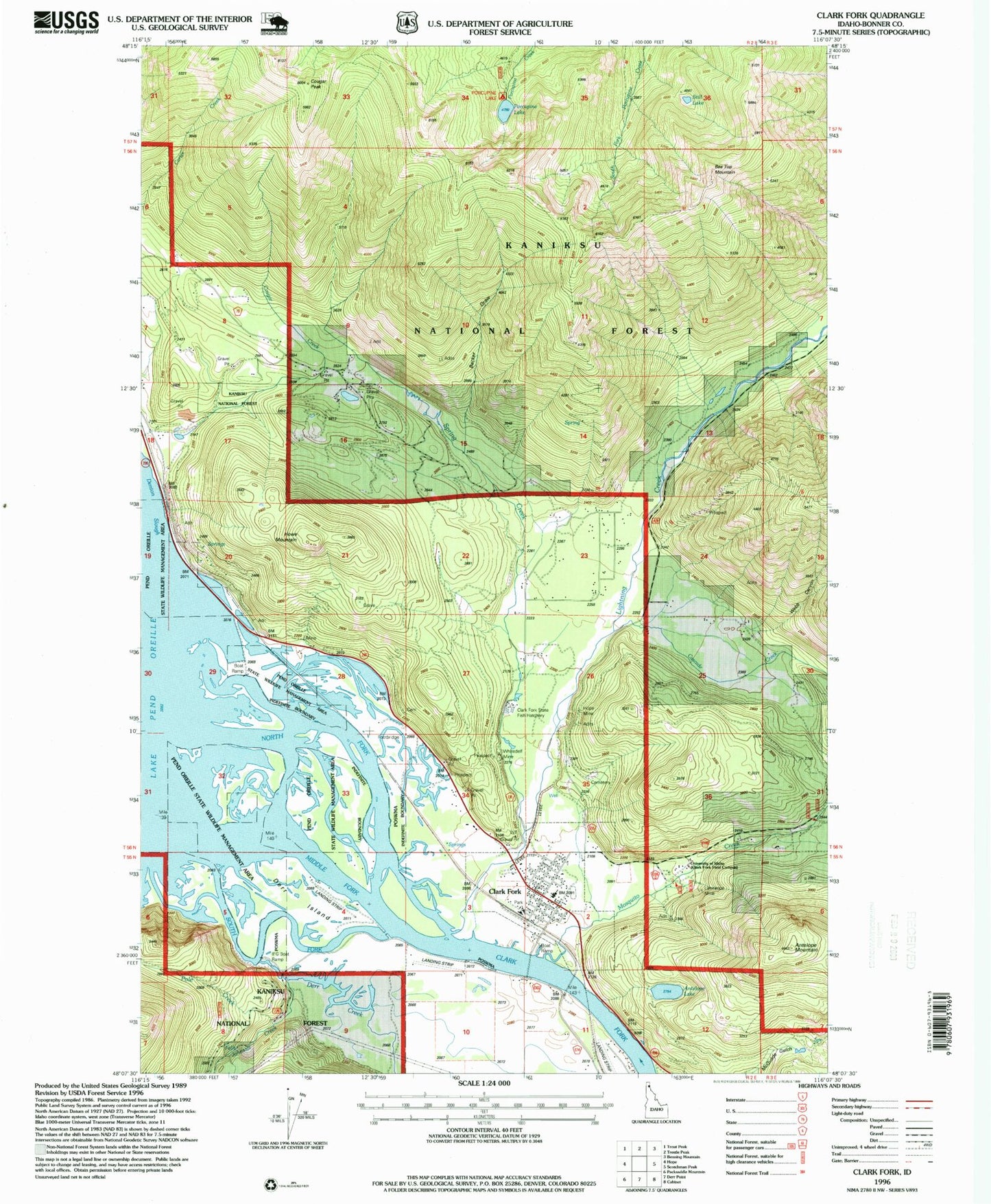
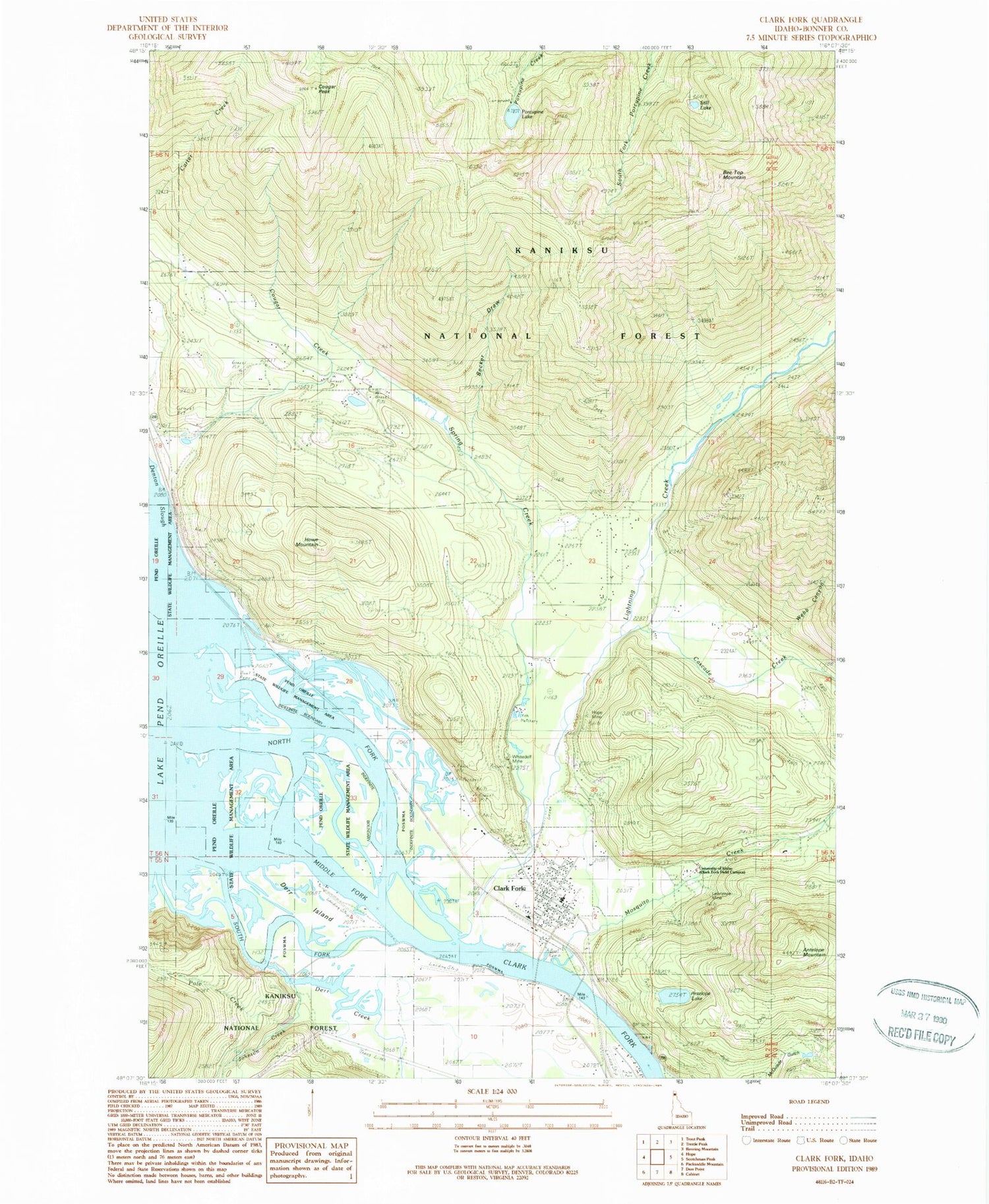
Classic USGS Clark Fork Idaho 7.5'x7.5' Topo Map
Couldn't load pickup availability
Historical USGS topographic quad map of Clark Fork in the state of Idaho. Typical map scale is 1:24,000, but may vary for certain years, if available. Print size: 24" x 27"
This quadrangle is in the following counties: Bonner.
The map contains contour lines, roads, rivers, towns, and lakes. Printed on high-quality waterproof paper with UV fade-resistant inks, and shipped rolled.
Contains the following named places: Alpine Trail, Antelope Lake, Antelope Mountain, Cascade Creek, Clark Fork Ranger Station (historical), Cougar Creek, Derr Creek, Derr Island, Hope Mine, Johnson Creek, Lawrence Mine, Lightning Creek, Middle Fork Clark Fork, Mosquito Creek, Porcupine Lake, South Fork Clark Fork, Spring Creek, Still Lake, Whitedelf Mine, University of Idaho Clark Fork Field Campus, Idaho State Fish Hatchery, Porcupine Lake Campground, Panhandle Wildlife Management Area, Bee Top Mountain, Clark Fork, Howe Mountain, Becker Draw, Denton, Cougar Peak, Pole Creek, Webb Canyon, CX Ranch Airport, Clark Fork Fish Hatchery, Clark Fork Junior - Senior High School, Clark Fork Division, City of Clark Fork, Delta Shores Airport, CX Ranch Number 2 Airport, Riverlake Airport, Clark Fork Valley Fire Department, Clark Fork Ambulance Service, Clark Fork Post Office