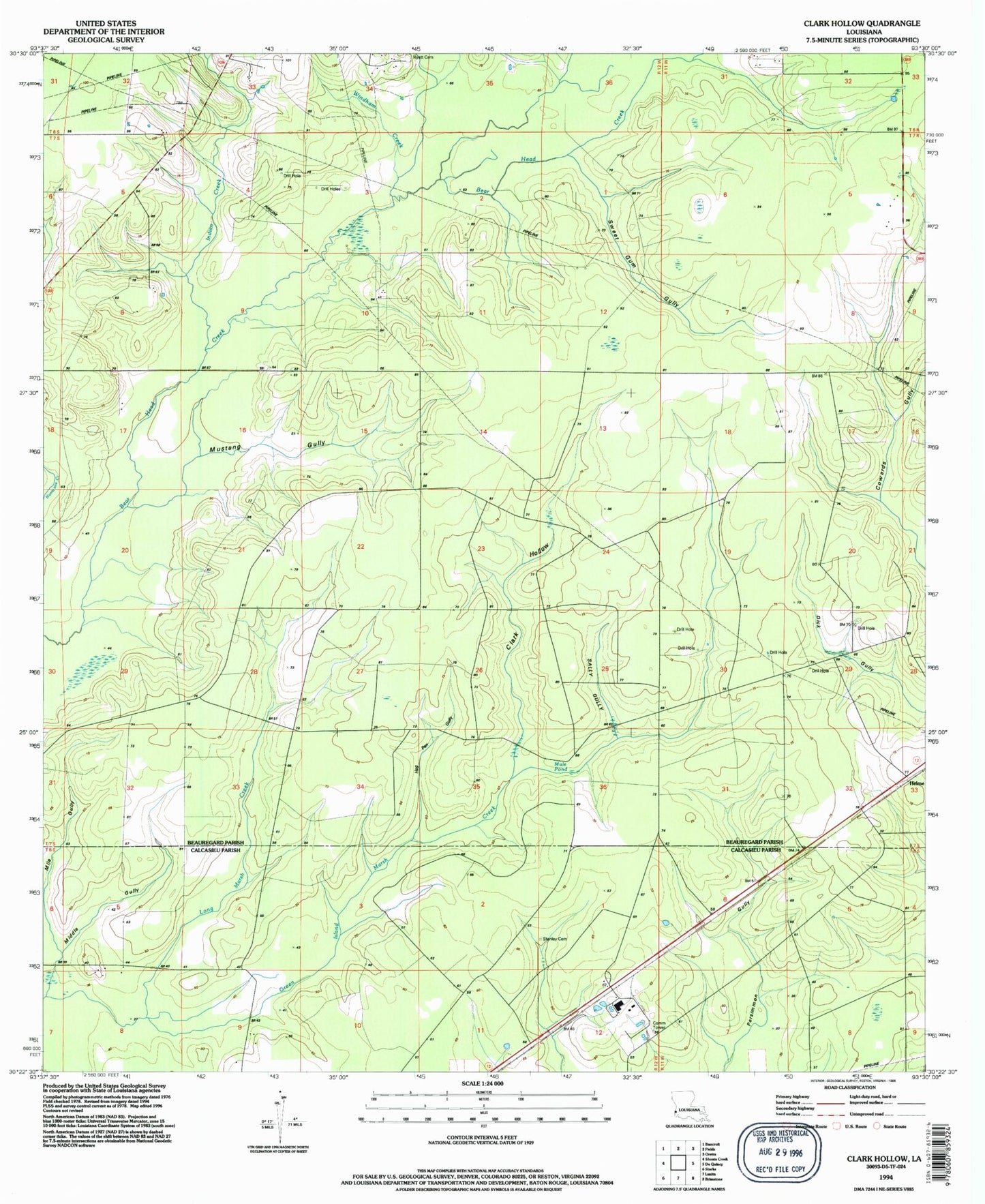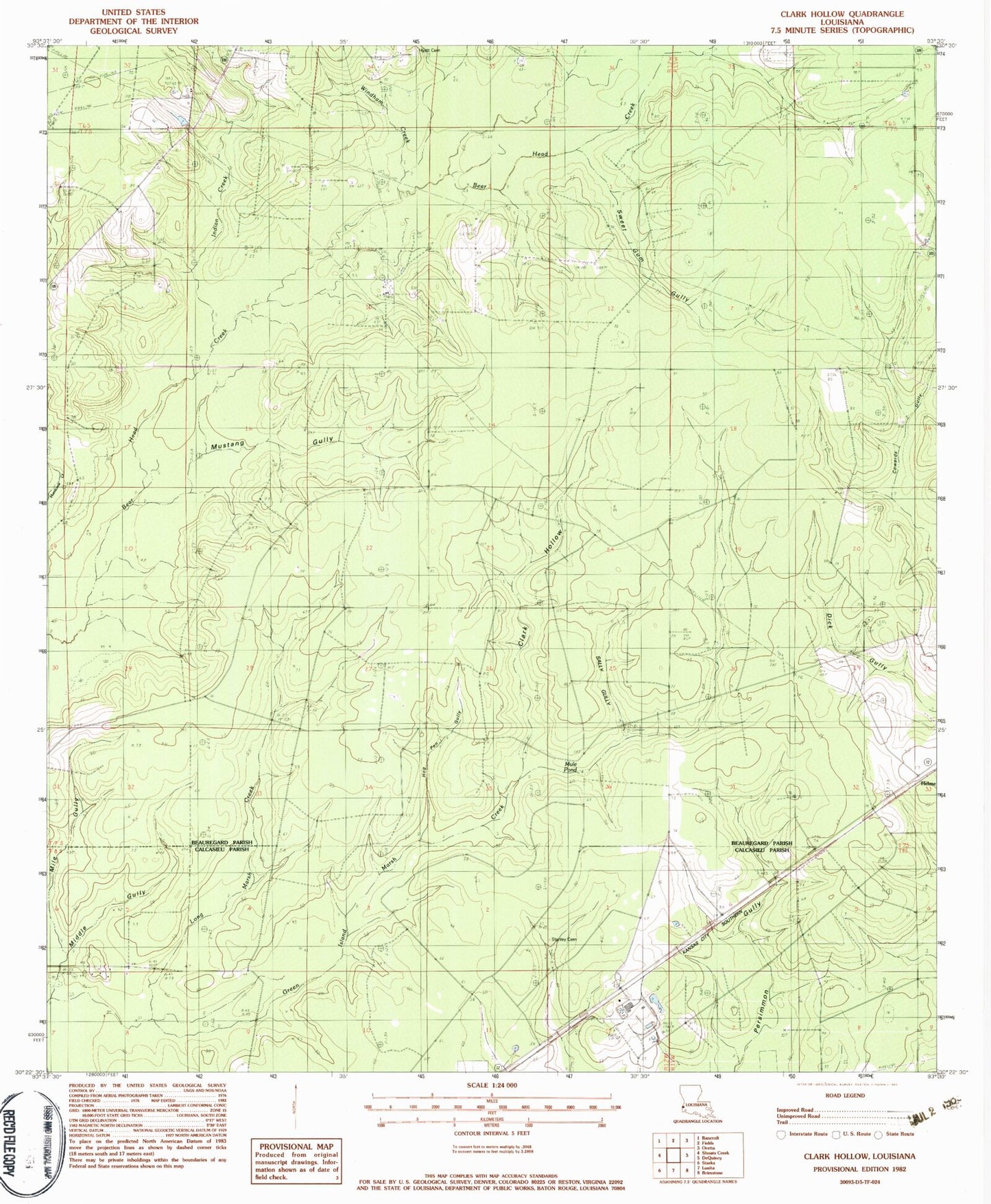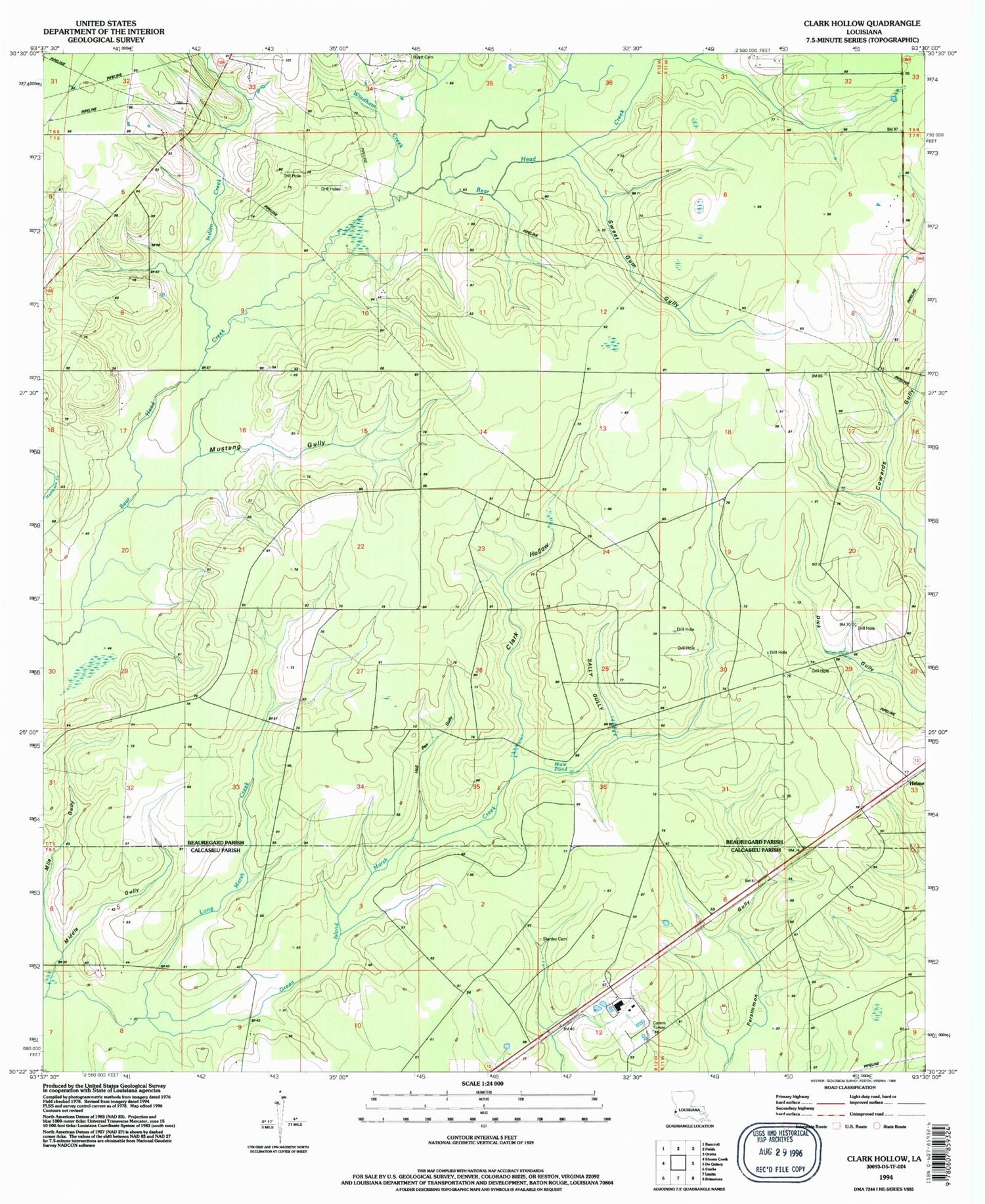

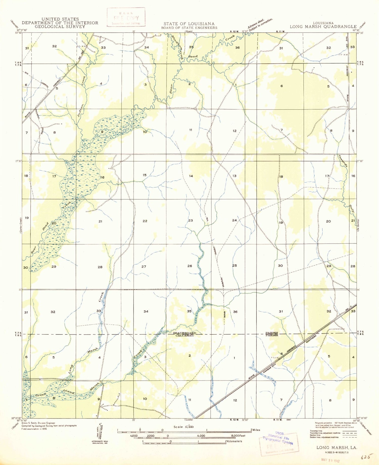
MyTopo
Classic USGS Clark Hollow Louisiana 7.5'x7.5' Topo Map
Couldn't load pickup availability
Historical USGS topographic quad map of Clark Hollow in the state of Louisiana. Map scale may vary for some years, but is generally around 1:24,000. Print size is approximately 24" x 27"
This quadrangle is in the following counties: Beauregard, Calcasieu.
The map contains contour lines, roads, rivers, towns, and lakes. Printed on high-quality waterproof paper with UV fade-resistant inks, and shipped rolled.
Contains the following named places: Clark Hollow, Hepzibah Baptist Church, Hog Pen Gully, Hyatt Cemetery, Indian Creek, Long Marsh Creek, Middle Gully, Mile Gully, Mule Pond, Mustang Gully, Sally Gully, Shoats Creek Oil Field, Stanley Cemetery, Sweet Gum Gully, West De Quincy Oil Field, White Oak Gully, Windham Creek