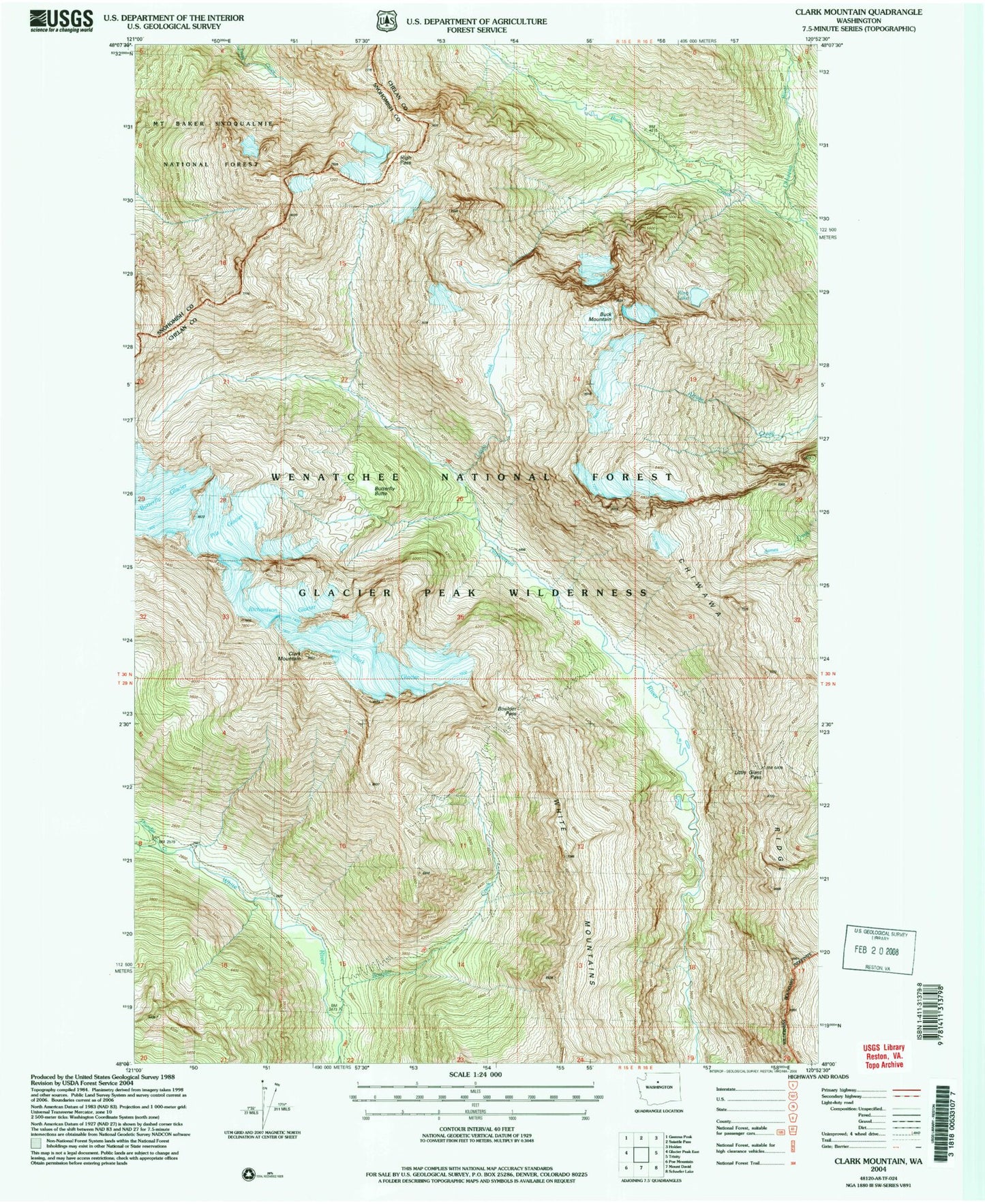
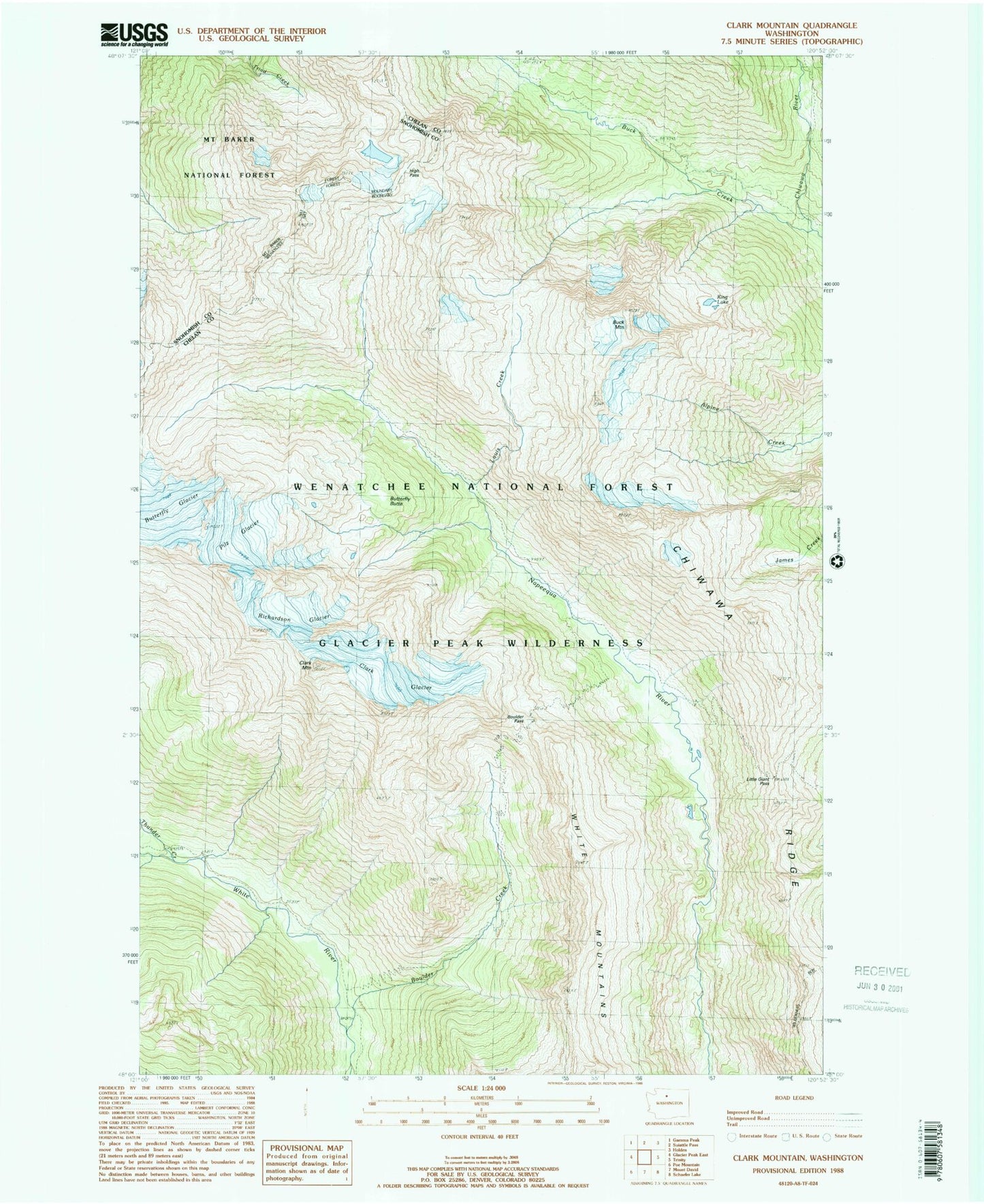
MyTopo
Classic USGS Clark Mountain Washington 7.5'x7.5' Topo Map
Regular price
$16.95
Regular price
Sale price
$16.95
Unit price
per
Couldn't load pickup availability
Historical USGS topographic quad map of Clark Mountain in the state of Washington. Typical map scale is 1:24,000, but may vary for certain years, if available. Print size: 24" x 27"
This quadrangle is in the following counties: Chelan, Snohomish.
The map contains contour lines, roads, rivers, towns, and lakes. Printed on high-quality waterproof paper with UV fade-resistant inks, and shipped rolled.
Contains the following named places: Boulder Creek, Boulder Pass, Buck Creek, Buck Mountain, Butterfly Butte, Butterfly Glacier, Clark Glacier, Clark Mountain, High Pass, King Lake, Little Giant Pass, Louis Creek, Richardson Glacier, White Mountains, Chiwawa Ridge, Pilz Glacier