MyTopo
Classic USGS Clarke Mountain Idaho 7.5'x7.5' Topo Map
Couldn't load pickup availability
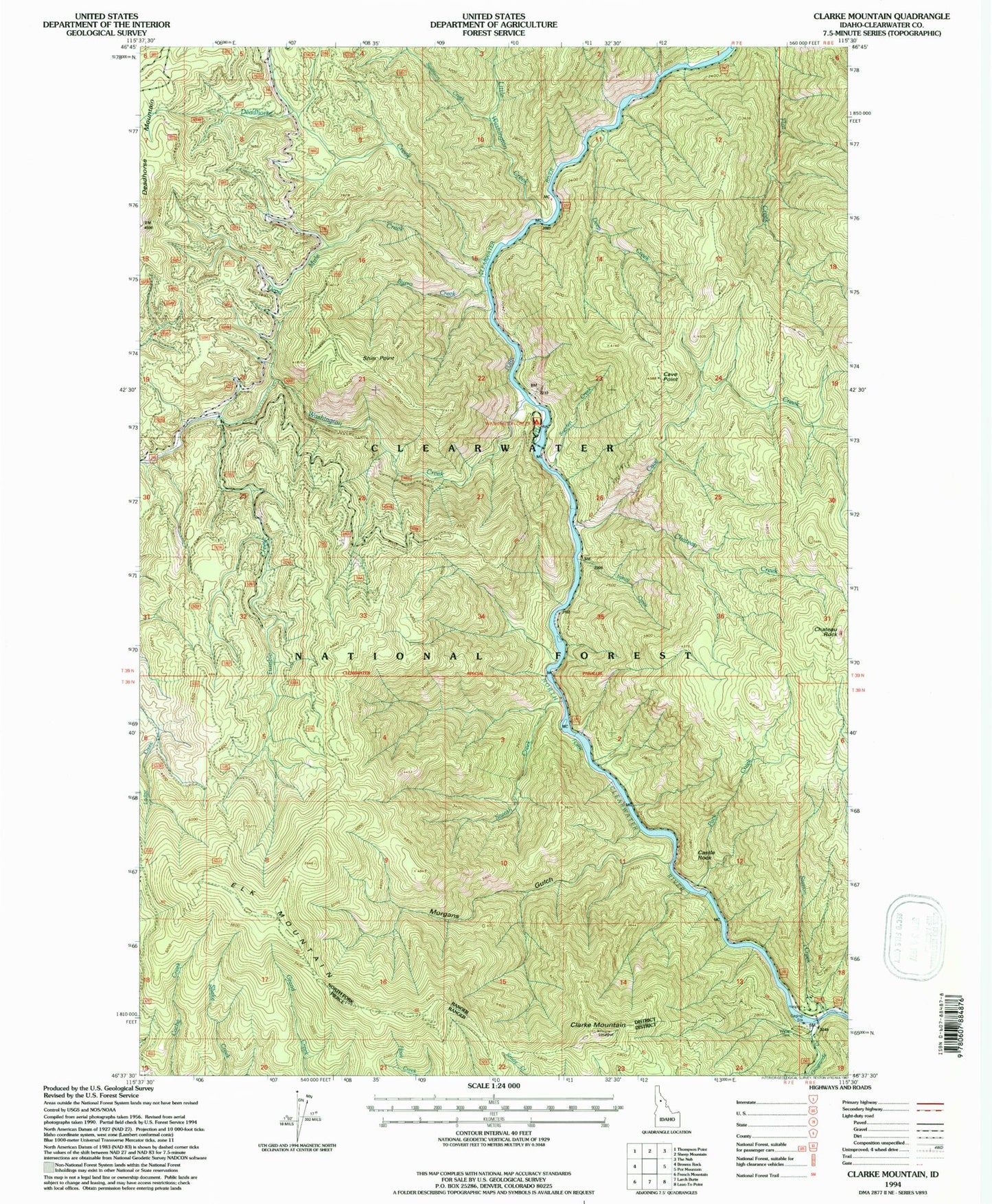
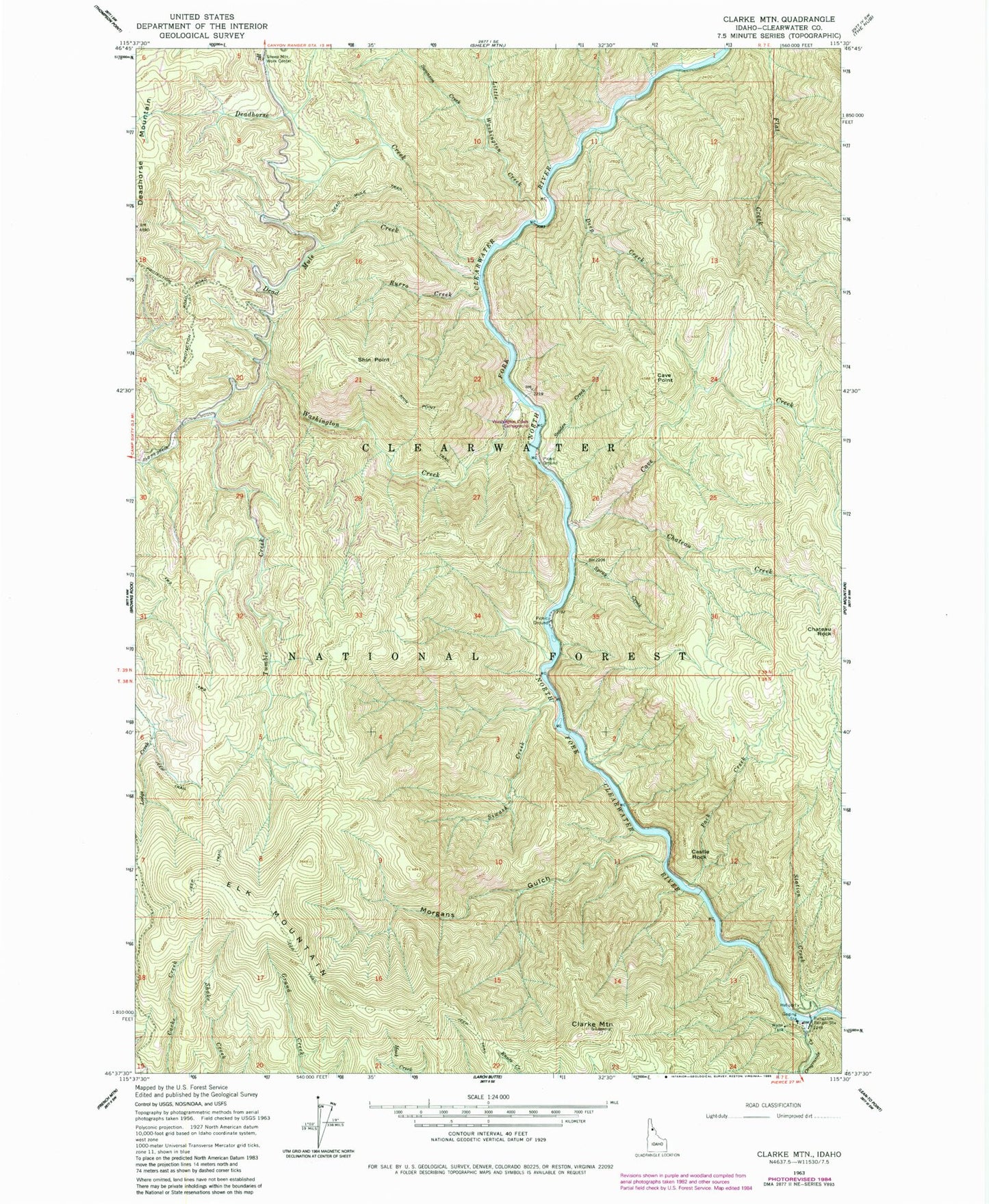
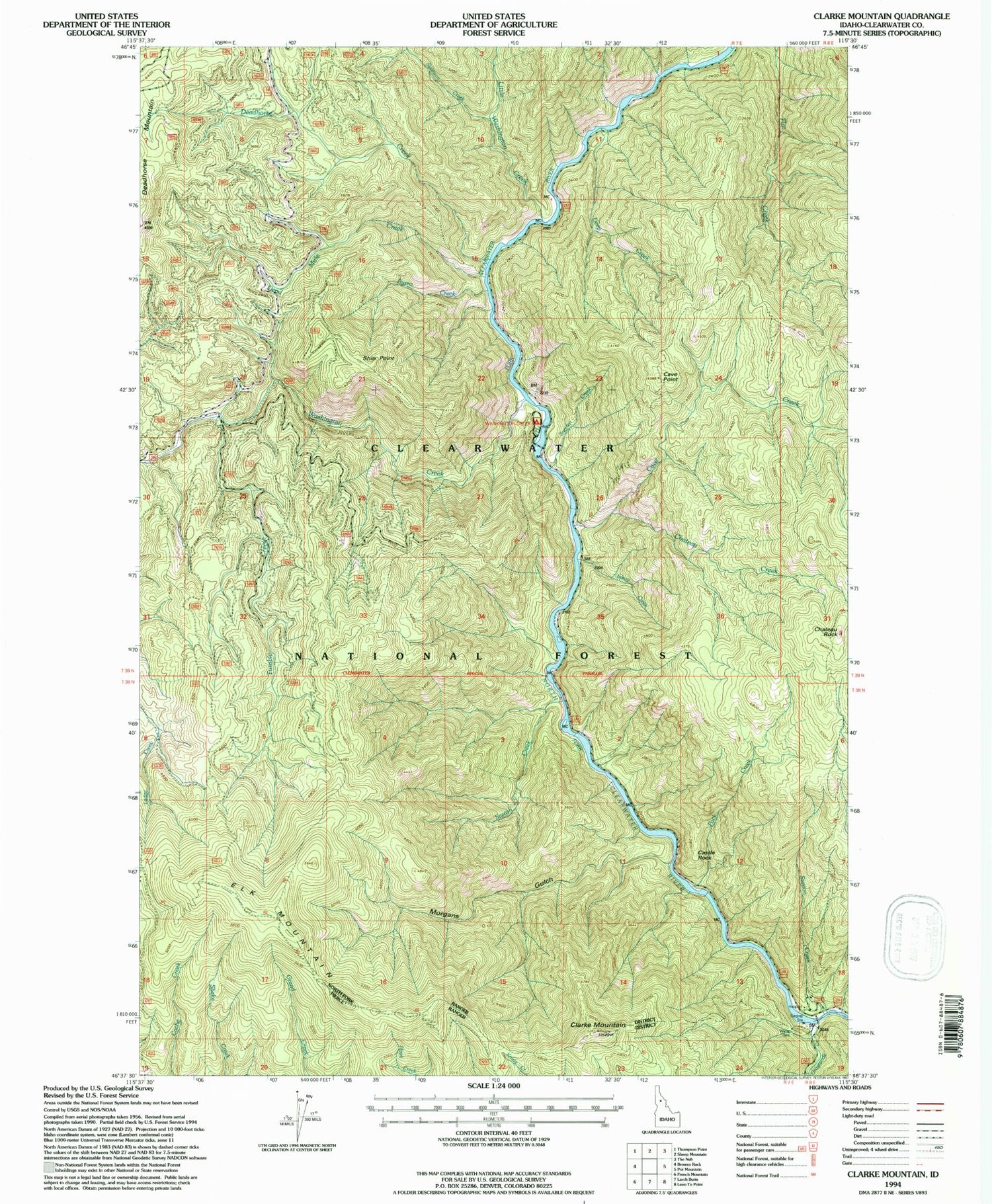
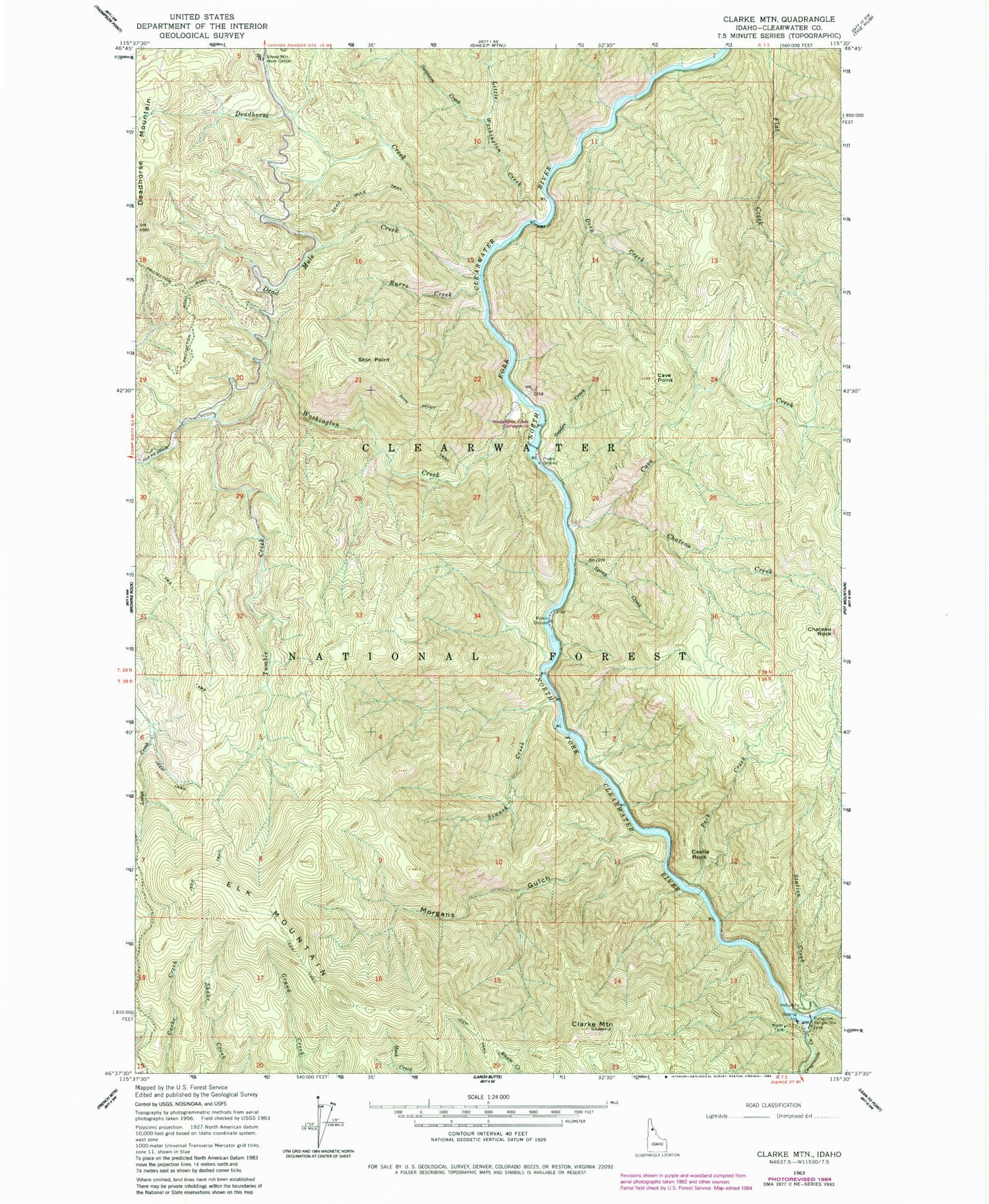
Historical USGS topographic quad map of Clarke Mountain in the state of Idaho. Map scale may vary for some years, but is generally around 1:24,000. Print size is approximately 24" x 27"
This quadrangle is in the following counties: Clearwater.
The map contains contour lines, roads, rivers, towns, and lakes. Printed on high-quality waterproof paper with UV fade-resistant inks, and shipped rolled.
Contains the following named places: Bungalow Ranger Station, Burro Creek, Castle Rock, Cave Creek, Cave Point, Chateau Creek, Chateau Rock, Clark Mountain Lookout, Clarke Mountain, Dead Mule Creek, Dead Mule Trail, Deadhorse Creek, Deep Creek, Elk Mountain, Hornby Creek, Little Washington Creek, Morgans Gulch, Orogrande Creek, Pack Creek, Sheep Mountain Work Center, Shin Point, Shin Point Trail, Siwash Creek, Snoden Creek, Spray Creek, Station Creek, Swanson Creek, Tumble Creek, Washington Creek, Washington Creek Campground


