MyTopo
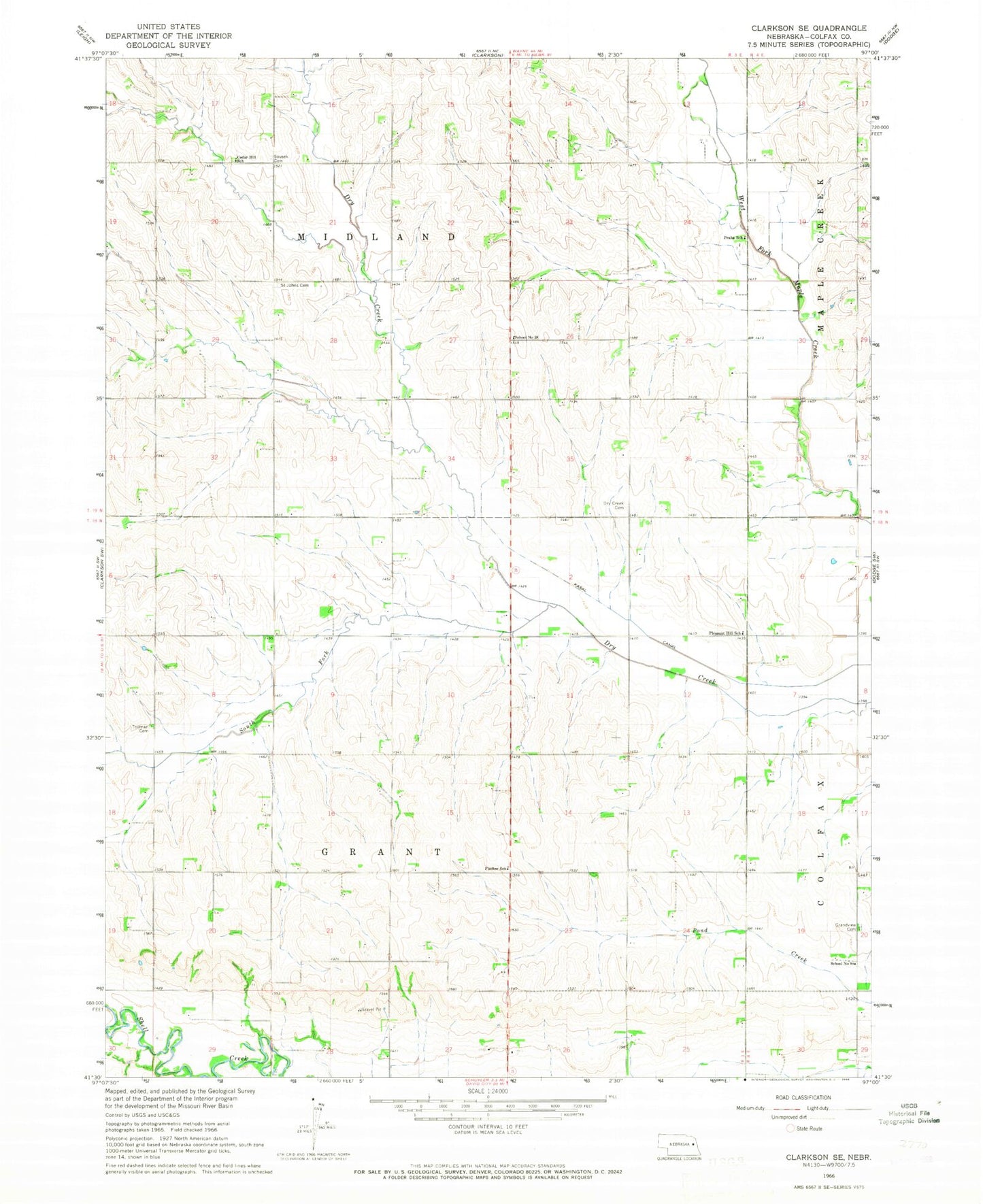
Classic USGS Clarkson SE Nebraska 7.5'x7.5' Topo Map
Couldn't load pickup availability
Historical USGS topographic quad map of Clarkson SE in the state of Nebraska. Map scale may vary for some years, but is generally around 1:24,000. Print size is approximately 24" x 27"
This quadrangle is in the following counties: Colfax.
The map contains contour lines, roads, rivers, towns, and lakes. Printed on high-quality waterproof paper with UV fade-resistant inks, and shipped rolled.
Contains the following named places: Benedictine Mission House, Cedar Hill School, Christ the King Chapel, Colfax County, Colfax County District Number 501 School, Dry Creek Cemetery, Fischer School, Grandview Cemetery, Grant Election Precinct, Kasal Canal, Midland Election Precinct, Pleasant Hill School, Praha School, Saint Benedict Center, Saint Johns Cemetery, School Number 28, School Number 9, Sousek Cemetery, South Fork Dry Creek, Township of Grant, Township of Midland, Zollman Cemetery