MyTopo
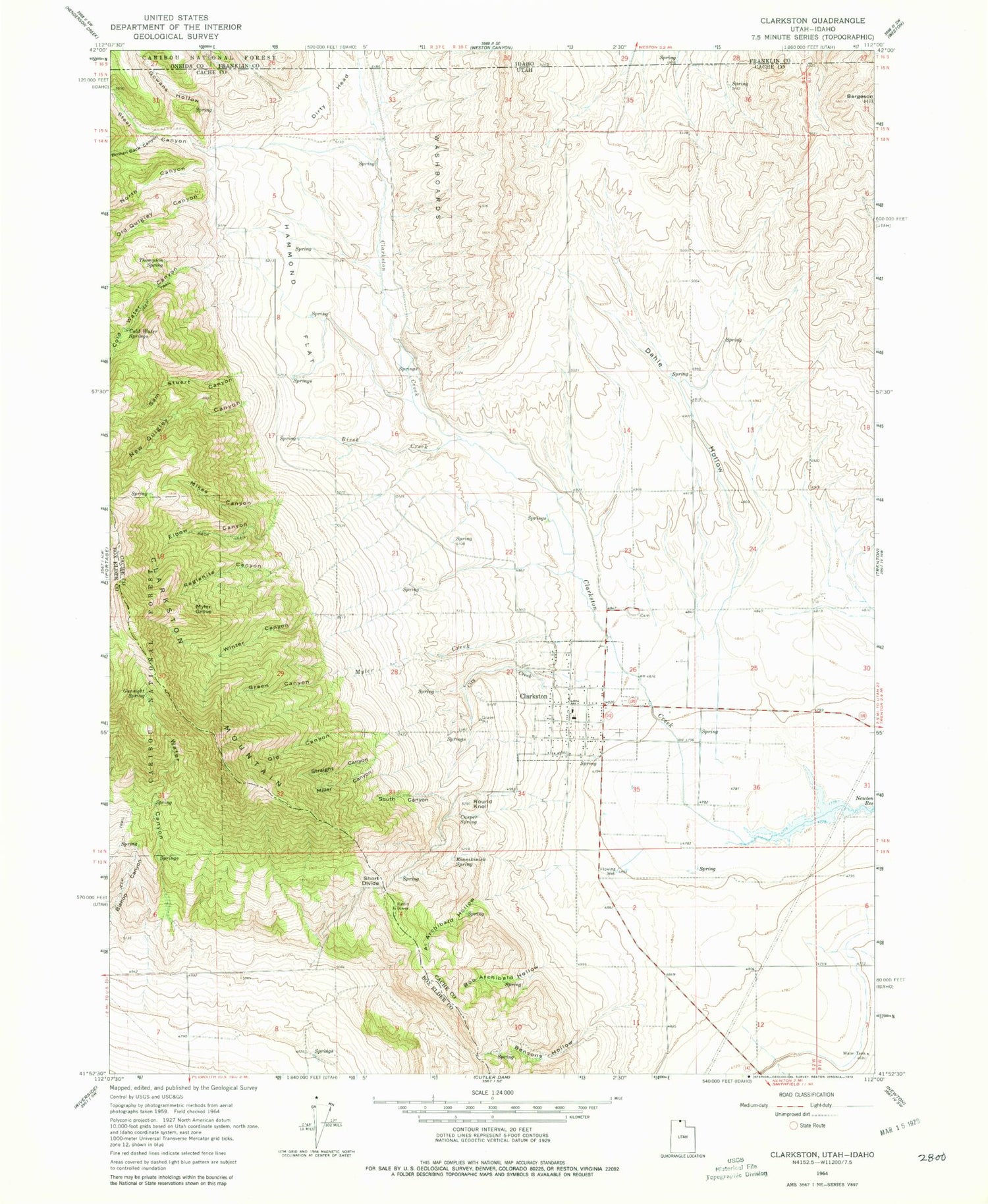
Classic USGS Clarkston Utah 7.5'x7.5' Topo Map
Couldn't load pickup availability
Historical USGS topographic quad map of Clarkston in the state of Utah. Map scale may vary for some years, but is generally around 1:24,000. Print size is approximately 24" x 27"
This quadrangle is in the following counties: Box Elder, Cache, Franklin, Oneida.
The map contains contour lines, roads, rivers, towns, and lakes. Printed on high-quality waterproof paper with UV fade-resistant inks, and shipped rolled.
Contains the following named places: Al Archibald Hollow, Bensons Hollow, Bergeson Hill, Birch Creek, Bob Archibald Hollow, Broken Back Canyon, Casper Spring, City Creek, Clarkston, Clarkston City Cemetery, Clarkston Creek, Clarkston Fire Department, Clarkston Mountain, Clarkston Post Office, Cold Water Canyon, Cold Water Springs, Dahle Hollow, Elbow Canyon, Gowans Hollow, Green Canyon, Gunsight Spring, Hammond Flat, James Barnet Cole Burial Ground, Kinnikinick Spring, KUSU-FM (Logan), Mikes Canyon, Miller Canyon, Myler Creek, Myler Grove, New Quigley Canyon, North Canyon, Old Canyon, Old Quigley Canyon, Raglanite Canyon, Round Knoll, Sam Stuart Canyon, Short Divide, South Canyon, Steel Canyon, Straight Canyon, The Church of Jesus Christ of Latter Day Saints, Thompson Spring, Town of Clarkston, Washboards, Water Canyon, Winter Canyon, ZIP Codes: 84305, 84308


