MyTopo
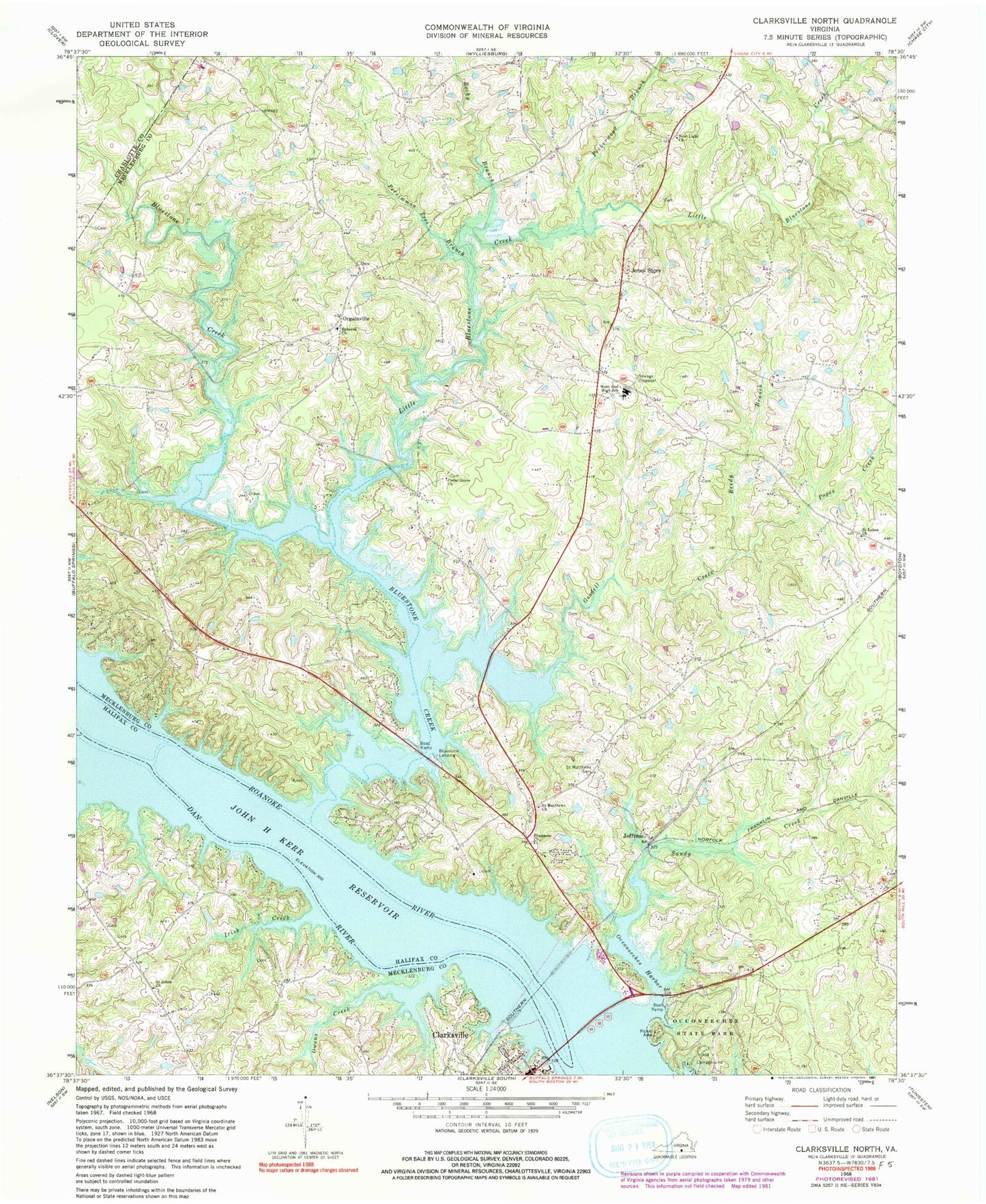
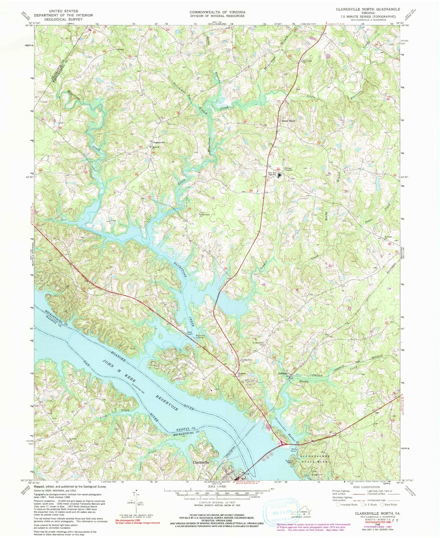
Classic USGS Clarksville North Virginia 7.5'x7.5' Topo Map
Couldn't load pickup availability
Historical USGS topographic quad map of Clarksville North in the state of Virginia. Map scale may vary for some years, but is generally around 1:24,000. Print size is approximately 24" x 27"
This quadrangle is in the following counties: Charlotte, Halifax, Mecklenburg.
The map contains contour lines, roads, rivers, towns, and lakes. Printed on high-quality waterproof paper with UV fade-resistant inks, and shipped rolled.
Contains the following named places: Bluestone, Bluestone Cemetery, Bluestone Church, Bluestone Creek, Bluestone Landing, Bluestone Middle School, Bluestone School, Bluestone Wildlife Management Area, Buffalo Creek, Burwell Cemetery, Cedar Grove Church, Clarksville Overlook, Clarksville Post Office, Crowders Branch, Dan River, District 8, District 9, Dortch Store, Ephesus Cemetery, Ephesus Church, Finchley School, Goodell Creek, Hanford Crossroads, Hollow Rock School, Irish Creek, Jeffress, Jones Store, Lake Country Christian Academy, Little Bluestone Creek, Moore School, Mooresville Estates, Mooresville School, Morgans Dam, New Light Church, Oak Hills, Oakley School, Occoneechee Harbor, Occoneechee Island, Occoneechee State Park, Orgainville, Owens Creek, Peckerwood Branch, Perfect Point, Persimmon Tree Branch, Phillip Saint Julian Wilson Bridge, Popes Creek, Prestwood Plantation, Prestwould, Reedy Branch, Ridge School, Rocky Branch, Saint Johns Church, Saint Johns School, Saint Lukes Church, Saint Matthews Cemetery, Saint Matthews Church, Saint Matthews School, Sandy Creek, Skipwiths Ferry, West End High School, Willis Dam, Willis Pond, WLCQ-FM (Clarksville), ZIP Code: 23968


