MyTopo
Classic USGS Clarksville Illinois 7.5'x7.5' Topo Map
Couldn't load pickup availability
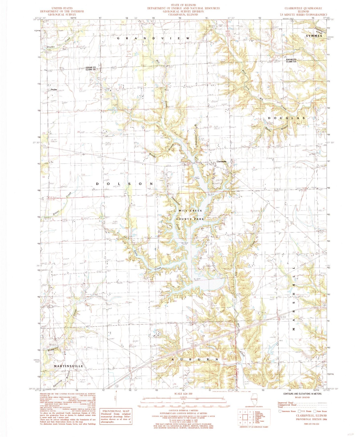
Historical USGS topographic quad map of Clarksville in the state of Illinois. Map scale may vary for some years, but is generally around 1:24,000. Print size is approximately 24" x 27"
This quadrangle is in the following counties: Clark, Edgar.
The map contains contour lines, roads, rivers, towns, and lakes. Printed on high-quality waterproof paper with UV fade-resistant inks, and shipped rolled.
Contains the following named places: Bartmess School, Bluegrass Cemetery, Bluegrass School, Boyer Family Cemetery, Brossman School, Brushy Branch, Clarksville, Clarksville Baptist Cemetery, Davis Cemetery, Doyles, East Liberty School, Ennis Creek, Fox Creek, Germany School, Green Moss Cemetery, Green Moss Church, Green Moss School, Kelly School, Martin Tarble Lake, Martin Tarble Lake Dam, Mill Creek County Park, Mill Creek Impoundment Number 2 Reservoir, Mill Creek Structure Number 2 Dam, Mill Creek Watershed Structure Number 1 Dam, Mitchell Cemetery, Perry RLA Airport, Pikes Peak School, Pleasant Grove School, Robert Lashbrook Pond, Robert Lashbrook Pond Dam, Rocky Branch, Rocky Branch Nature Preserve, Salem Church, Sevenmile Creek, Shiloh Cemetery, Shiloh Church, Snakeden Branch, Spiketown School, Taylor Cemetery, Township of Dolson