MyTopo
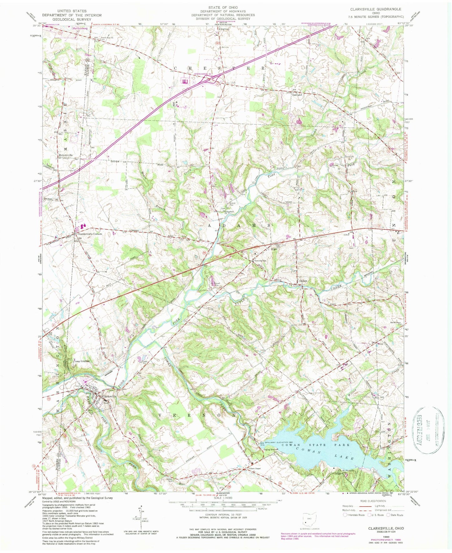
Classic USGS Clarksville Ohio 7.5'x7.5' Topo Map
Couldn't load pickup availability
Historical USGS topographic quad map of Clarksville in the state of Ohio. Typical map scale is 1:24,000, but may vary for certain years, if available. Print size: 24" x 27"
This quadrangle is in the following counties: Clinton, Warren.
The map contains contour lines, roads, rivers, towns, and lakes. Printed on high-quality waterproof paper with UV fade-resistant inks, and shipped rolled.
Contains the following named places: Camp Graham, Hickoryville, Little Creek, Moore Branch, Mount Pleasant Cemetery, Sewell Cemetery, Sewell Run, Sligo, Stony Hollow, Vandervorts Corners, Wilson Creek, Austin Island, Clinton-Massie High School, Clinton-Massie Elementary School, Clarksville, Cowan Lake, Cowan State Park, Ogden, Dutch Creek, Lytle Creek, Beech Grove Church, Jonahs Run Church, Springfield Church, Villars Chapel United Methodist Church, Baptist Foundation Lake Dam, Baptist Foundation Lake, Cowan Lake Dam, Stokes Lake Dam, Stokes Lake, Caesar Creek Lake Dam, Caesar Creek Lake, Caesar Creek Lake Dike A, Chiefs Lake Dam, Chiefs Lake, Oakland, Township of Adams, Township of Vernon, Beechnut Loop Trail, Cowan Lake Sailing Club, Dogwood Trail, Emerald Woods Trail, Lakeview Trail, Lotus Cove Trail, Oldfield Trail, Baptist Cemetery, Clarksville Cemetery, Clarksville Independent Order of Odd Fellows Cemetery, Jonahs Run Cemetery, Lytles Creek Cemetery, Quaker Cemetery, Sabin Cemetery, Yeazel Cemetery, Clarksville Post Office, Oakland Post Office (historical), Ogden Post Office (historical), Nike Site CD-27C (historical), Nike Site CD-27L (historical), Village of Clarksville, Pine Hills Mobile Home Park, Dale Stokes Rasberry Farm, Stonewall Farms, Clinton - Warren Joint Fire and Rescue


