
MyTopo
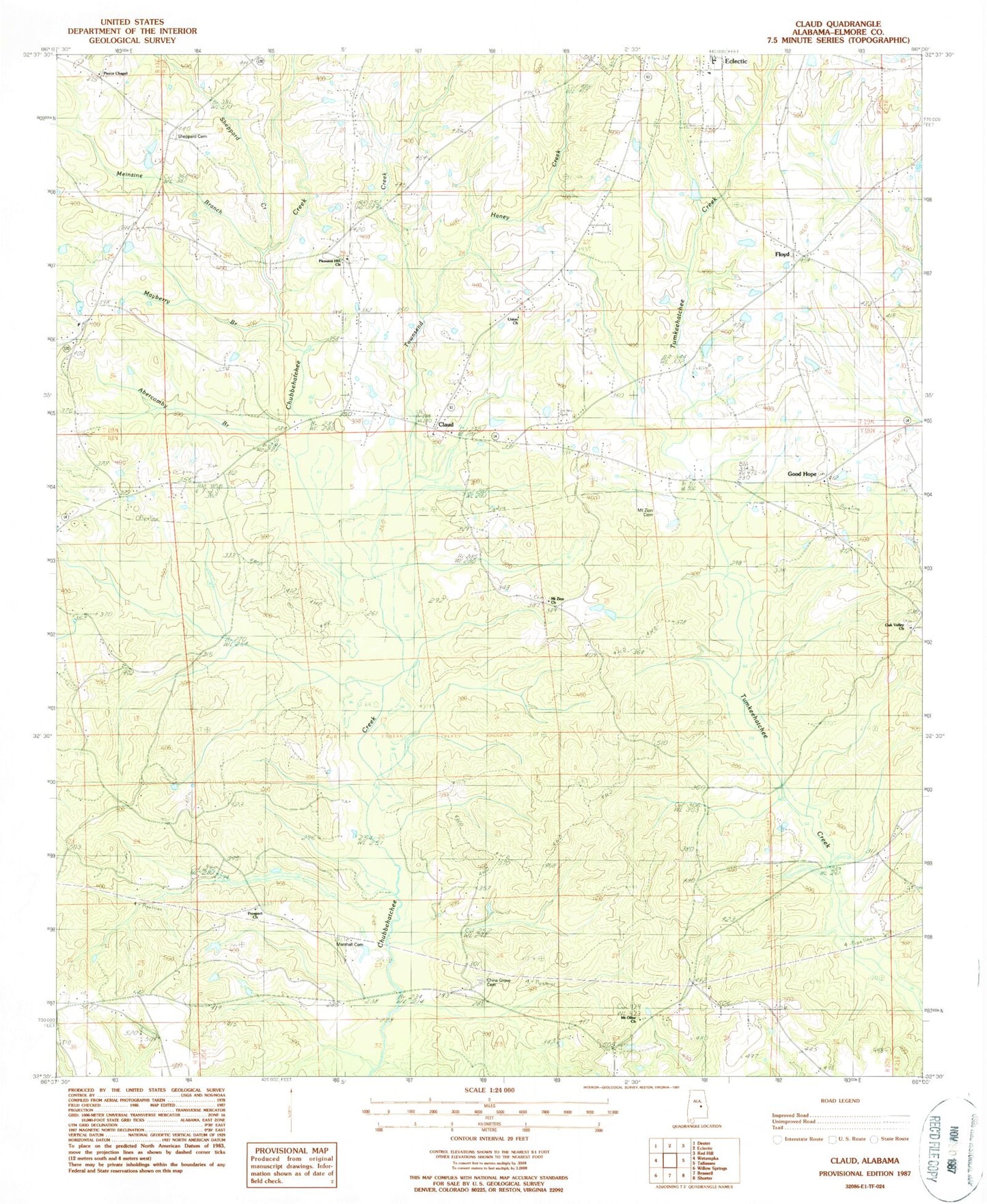
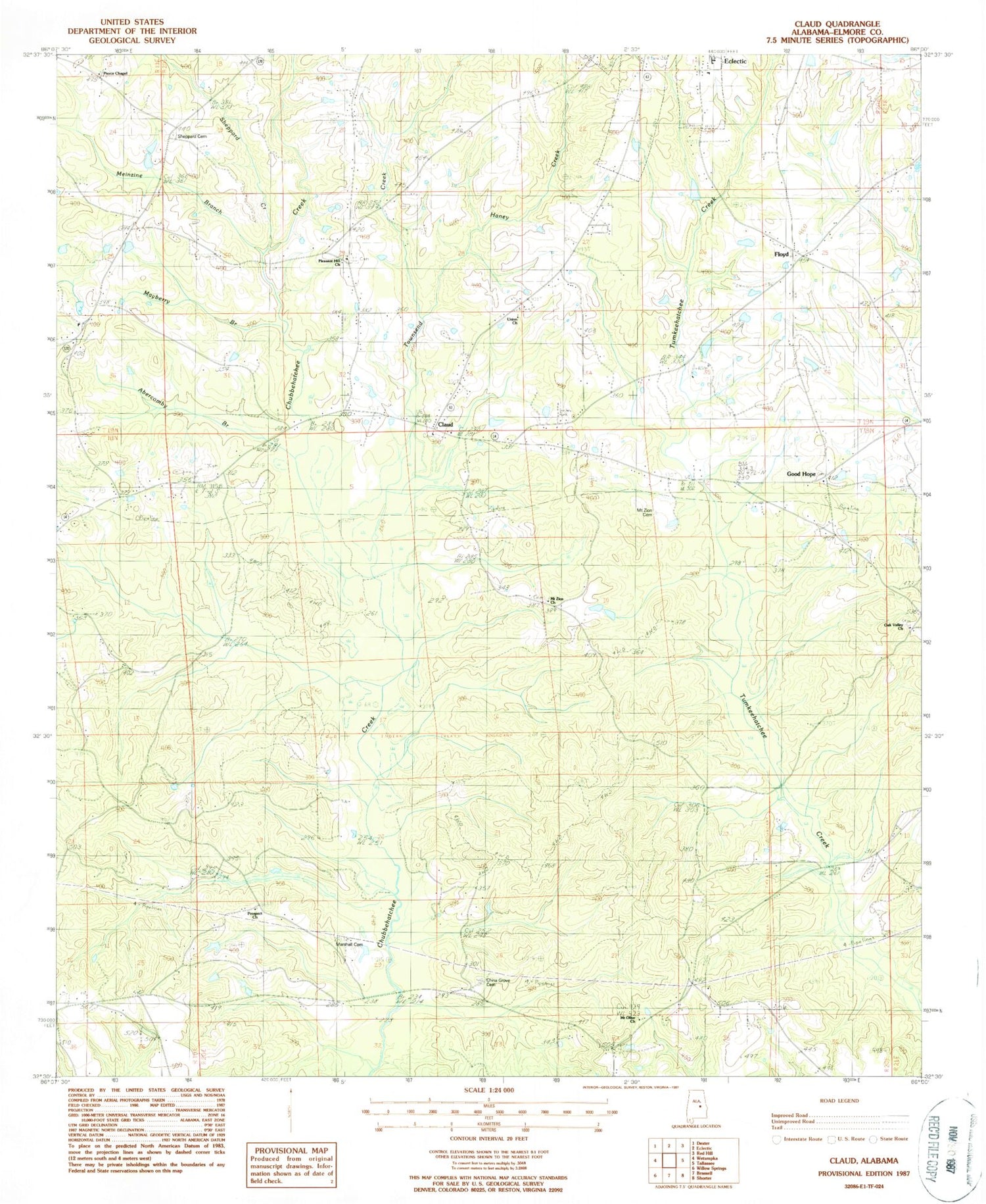
Classic USGS Claud Alabama 7.5'x7.5' Topo Map
Couldn't load pickup availability
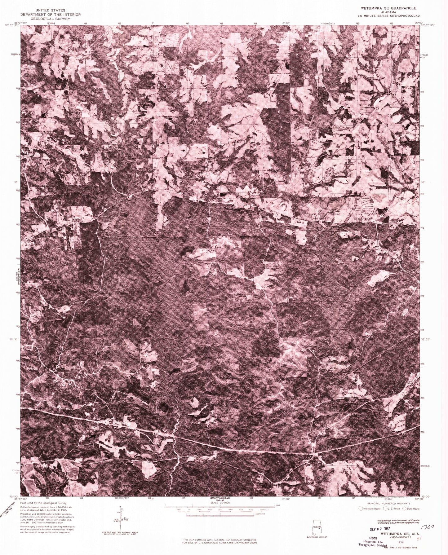
Historical USGS topographic quad map of Claud in the state of Alabama. Map scale may vary for some years, but is generally around 1:24,000. Print size is approximately 24" x 27"
This quadrangle is in the following counties: Elmore.
The map contains contour lines, roads, rivers, towns, and lakes. Printed on high-quality waterproof paper with UV fade-resistant inks, and shipped rolled.
Contains the following named places: Abercomby Branch, AYS Youth Camp, Butler Memorial Church, Castleberry Memorial Congregational Church, Central Church, China Grove Cemetery, Claud, Claud Church of Christ, Claud Independent Methodist Church, Crabapple Valley, Floyd, Glendale Acres, Good Hope, Good Hope Baptist Church, Good Hope Cemetery, Green Cemetery, Haney Creek, Heck Ridge, Hidden Forest, Knight Lake, Knight Lake Dam, Marshall Cemetery, Meinzine Branch, Mount Olive Church, Mount Zion Cemetery, Mount Zion Church, Oak Valley Church, Pierce Chapel, Pleasant Hill Church, Prospect Church, R H Lamb Lake, R H Lamb Lake Dam, Redland Volunteer Fire Department Station 2, Salem Church, Salem School, Sand Creek, Sheppard Cemetery, Sheppard Creek, Taylor Chapel, Townsend Creek, Union Academy, Union Number 2 Baptist Church, Wall Cemetery, Warren Cemetery, Wingard Lake, Wingard Lake Dam, Youngs Academy