
MyTopo
Classic USGS Clawson Idaho 7.5'x7.5' Topo Map
Couldn't load pickup availability
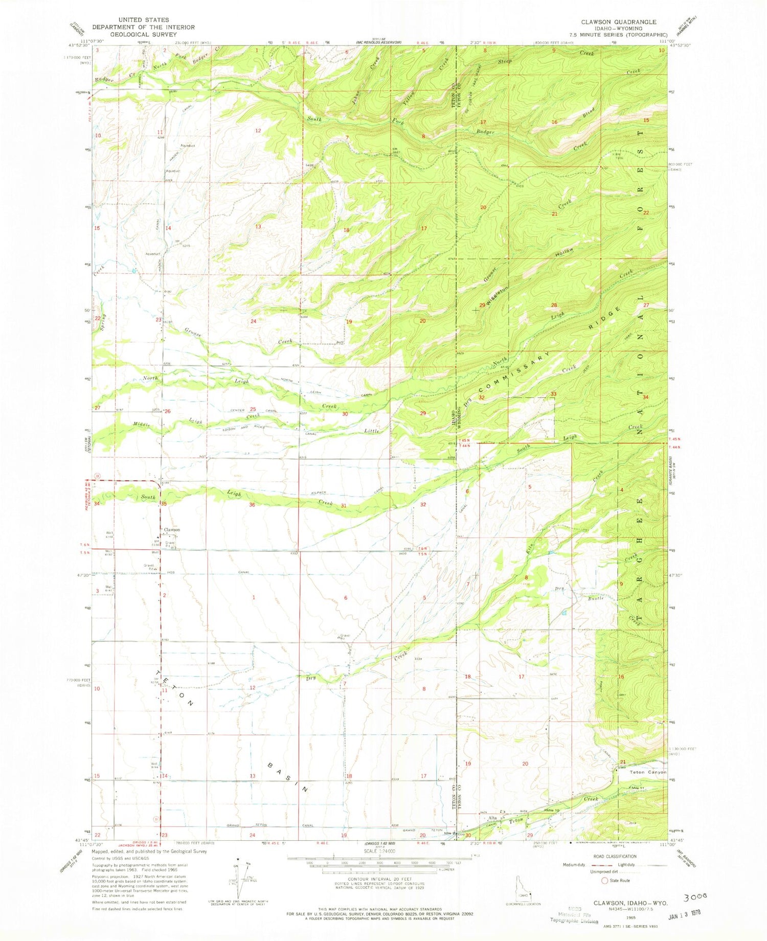
Historical USGS topographic quad map of Clawson in the states of Idaho, Wyoming. Map scale may vary for some years, but is generally around 1:24,000. Print size is approximately 24" x 27"
This quadrangle is in the following counties: Teton.
The map contains contour lines, roads, rivers, towns, and lakes. Printed on high-quality waterproof paper with UV fade-resistant inks, and shipped rolled.
Contains the following named places: Alta, Alta Census Designated Place, Alta Elementary School, Blind Creek, Bustle Creek, Center Canal, Clawson, DeCoster Trail, Dry Canyon, Dry Creek, Edison and Ricks Canal, Grand Teton Canal, Grouse Creek, Haden Canal, Hog Canal, Jackson Hole Fire and Emergency Medical Services - Firehouse 5 Alta, Johns Creek, Kiln Creek, Kilpack Canal, Little Dry Creek, North Badger Creek, North Leigh Canal, Pratt Canal, Pratt Cemetery, South Badger Creek, Steep Creek, Teton Canyon, Wiggleton Hollow, Yellow Creek


