MyTopo
Classic USGS Clay City Kentucky 7.5'x7.5' Topo Map
Couldn't load pickup availability
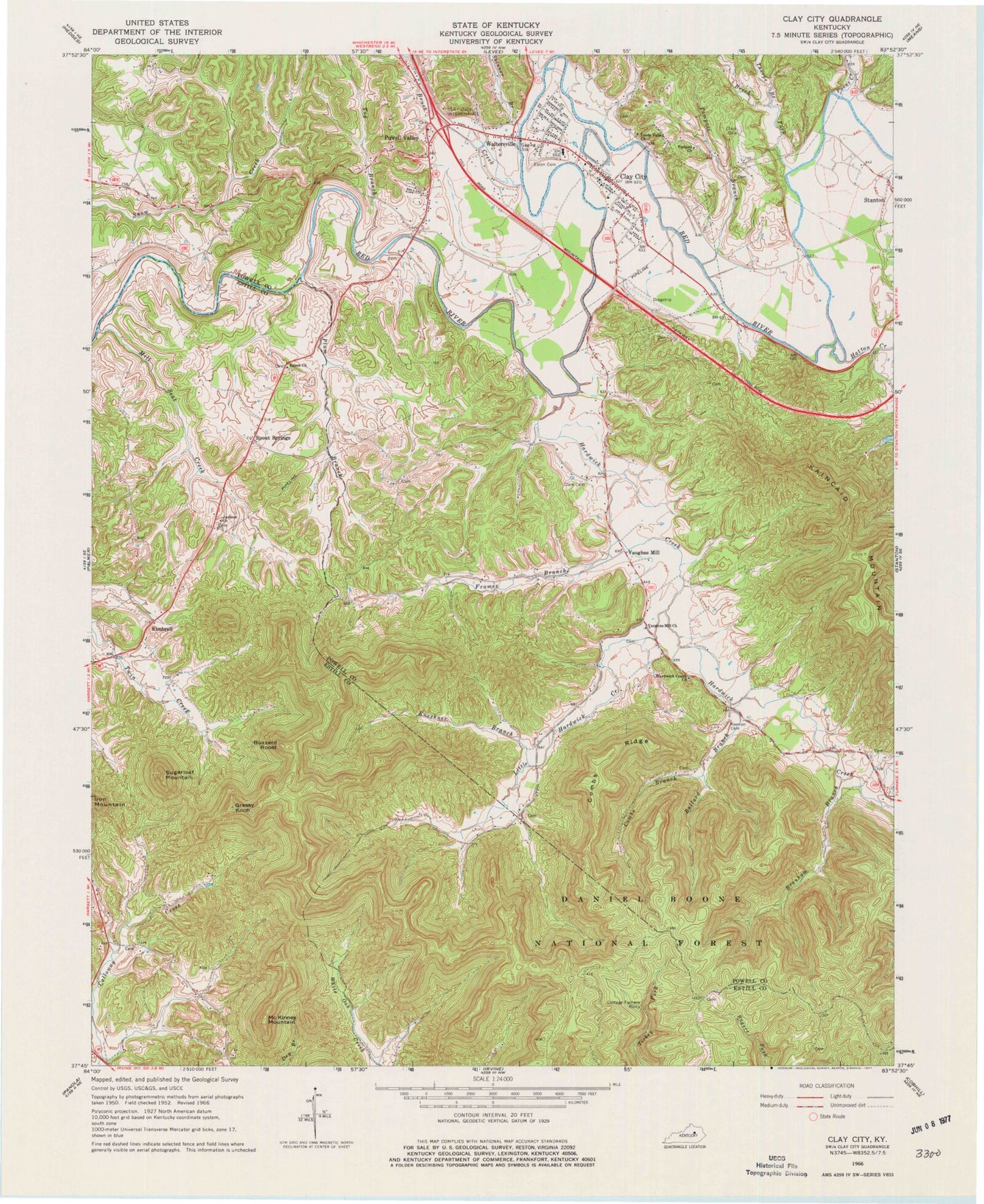
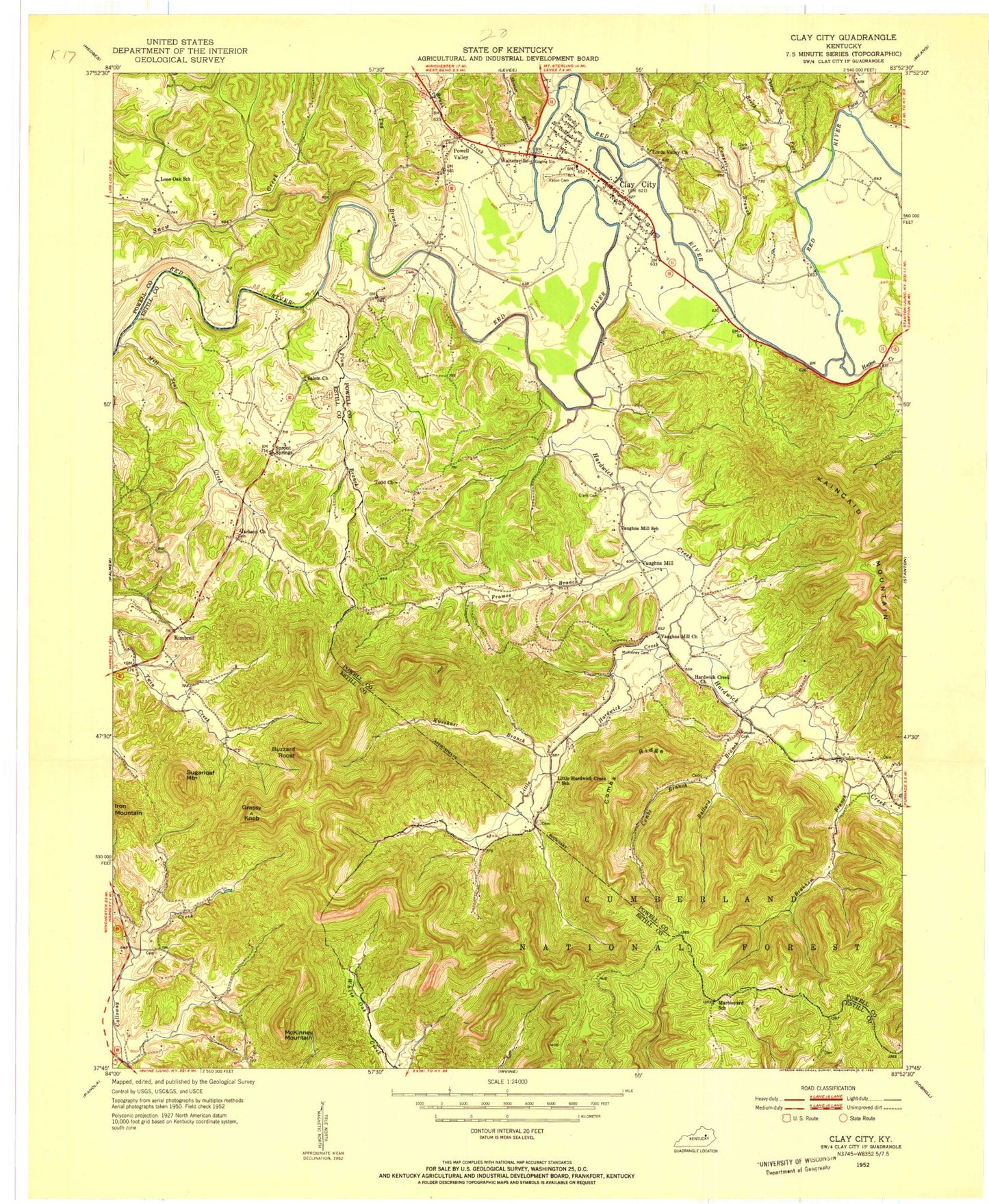
Historical USGS topographic quad map of Clay City in the state of Kentucky. Map scale may vary for some years, but is generally around 1:24,000. Print size is approximately 24" x 27"
This quadrangle is in the following counties: Estill, Powell.
The map contains contour lines, roads, rivers, towns, and lakes. Printed on high-quality waterproof paper with UV fade-resistant inks, and shipped rolled.
Contains the following named places: Ballard Branch, Beech Fork, Black Creek, Bradley Rocks, Bradleys Rocks, Branham Branch, Brush Creek, Buzzard Roost, Calloway Creek, Camp Burnamwood, City of Clay City, Clark Cemetery, Clay City, Clay City Cemetery, Clay City Division, Clay City Fire Department, Clay City Police Department, Clay City Post Office, Combs Branch, Combs Ridge, Cottage Furnace Historical Marker, Cottage Furnace Picnic Area, Cottage Furnace Post Office, Fife Lick Creek, Frames Branch, Grassy Knob, Great Red River North Bend, Happy Top, Hardwick Creek, Hardwick Creek Church, Hatton Creek, Iron and Timber Works Historical Marker, Irvine Division, Jackson Chapel, Jackson Chapel Cemetery, Kaincaid Mountain, Kennon Cemetery, Kimbrell, Kimbrell Chapel, Kimbrell Post Office, Kueshner Branch, Lewis Martin Grist Mill, Little Hardwick Creek, Little Hardwick Creek School, Lone Oak, Lone Oak School, Lords Valley Methodist Church, Marbleyard, Marbleyard Ridge, McKinney Mountain, Mill Seat Creek, Old Clay City Road, Paint Creek, Piggville, Plum Branch, Pompeii Branch, Pompeii Church Of God, Powell Valley, Red River Iron Works, Salem Church, Shawnee Railroad Station, Ships Branch, Skinner Branch, Spout Springs, Spout Springs Post Office, Sproutsprings Post Office, Stanton Post Office, Sugarloaf Mountain, Thorpe Branch, Todd Church, Tug Branch, Union Hall Post Office, Vaughn Mill, Vaughn Mill Post Office, Vaughn Mill School, Vaughns Mill, Vaughns Mill First Church of God, Waltersville, Waltersville Post Office, Watersville Bridge, White School, ZIP Code: 40312


