MyTopo
Classic USGS Claysville Pennsylvania 7.5'x7.5' Topo Map
Couldn't load pickup availability
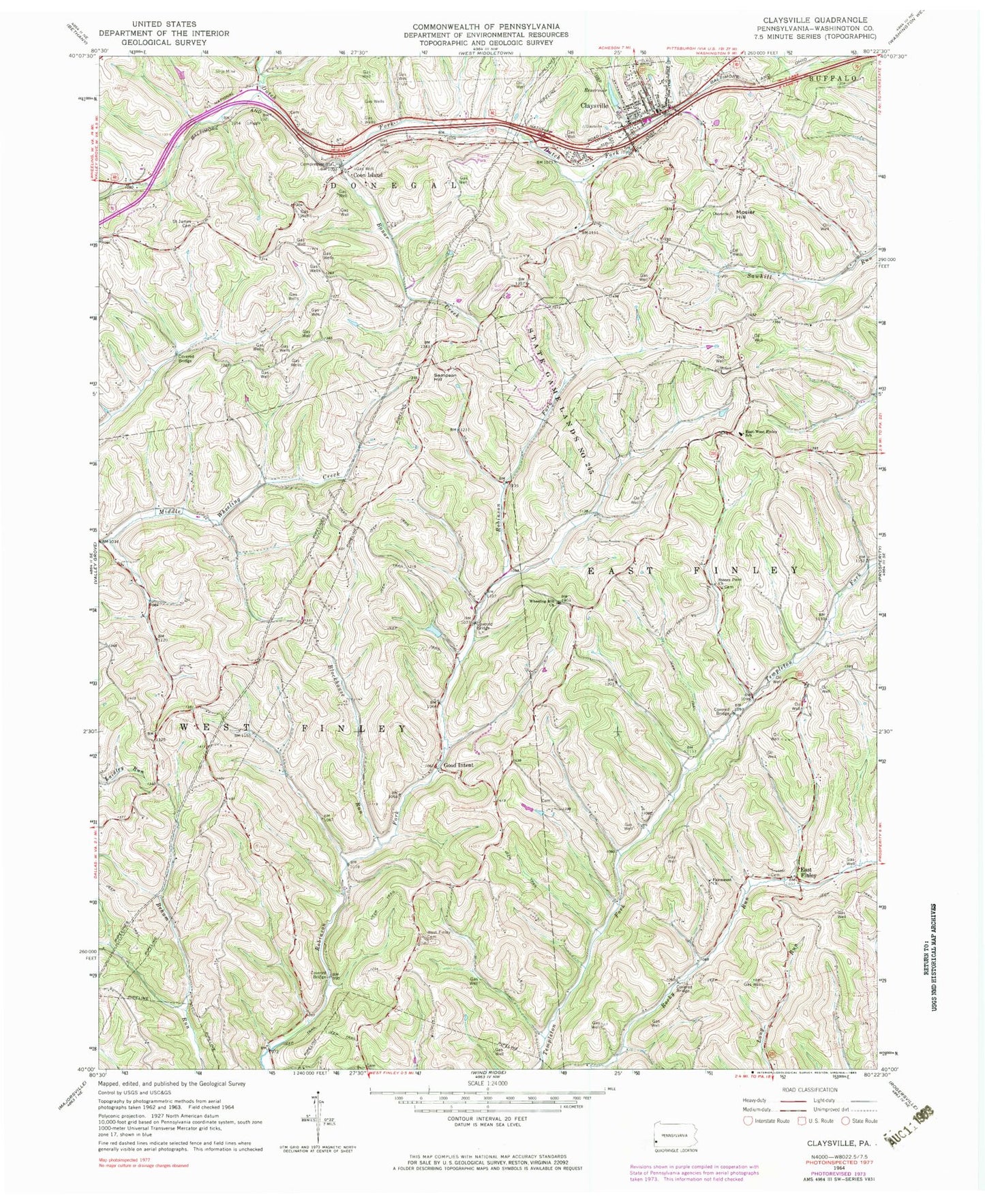
Historical USGS topographic quad map of Claysville in the state of Pennsylvania. Map scale may vary for some years, but is generally around 1:24,000. Print size is approximately 24" x 27"
This quadrangle is in the following counties: Washington.
The map contains contour lines, roads, rivers, towns, and lakes. Printed on high-quality waterproof paper with UV fade-resistant inks, and shipped rolled.
Contains the following named places: Blockhouse Run, Bonar Creek, Borough of Claysville, Claysville, Claysville Fire Rescue Station 31, Claysville Number One Dam, Claysville Number One Reservoir, Claysville Post Office, Coon Island, Coon Island Post Office, Crawford Covered Bridge, Danley Covered Bridge, Double Dam Golf Course, East Finley, East-West Finley School, Fairmount Church, Good Intent, Hair Schoolhouse, Jordan School, Kimmins Schoolhouse, Mosier Hill, Pa-661 Dam, Saint James Cemetery, Sampson Hill, Sawhill Schoolhouse, Scott Brownlee Covered Bridge, State Game Lands Number 245, Stoney Point Cemetery, Stony Point Schoolhouse, Township of East Finley, Township of West Finley, Trussell Cemetery, Uphill Airport, West Finley Cemetery, Wheeling Hill Church, Windy Gap Church, ZIP Codes: 15323, 15376