MyTopo
Classic USGS Clayton North Alabama 7.5'x7.5' Topo Map
Couldn't load pickup availability
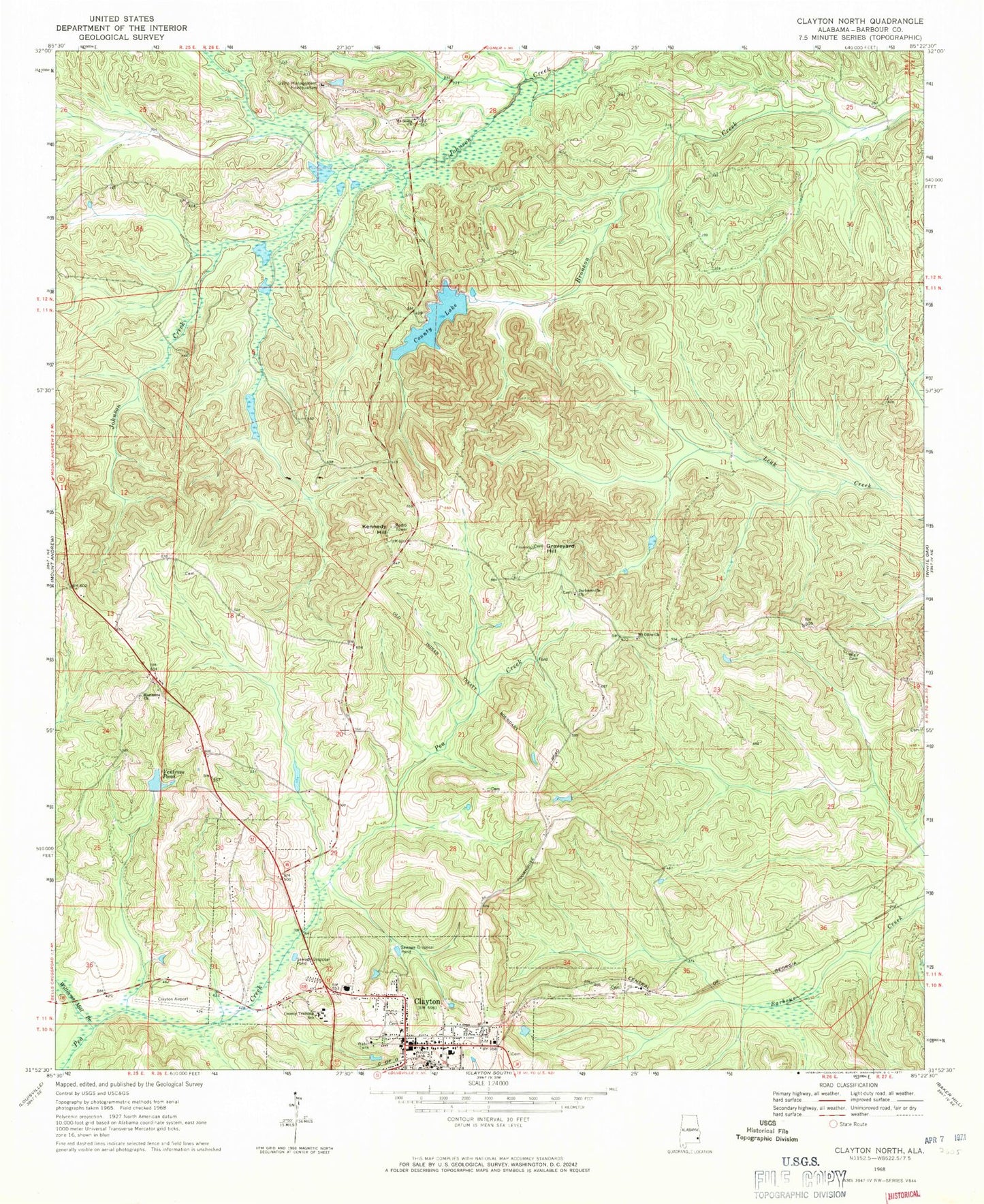
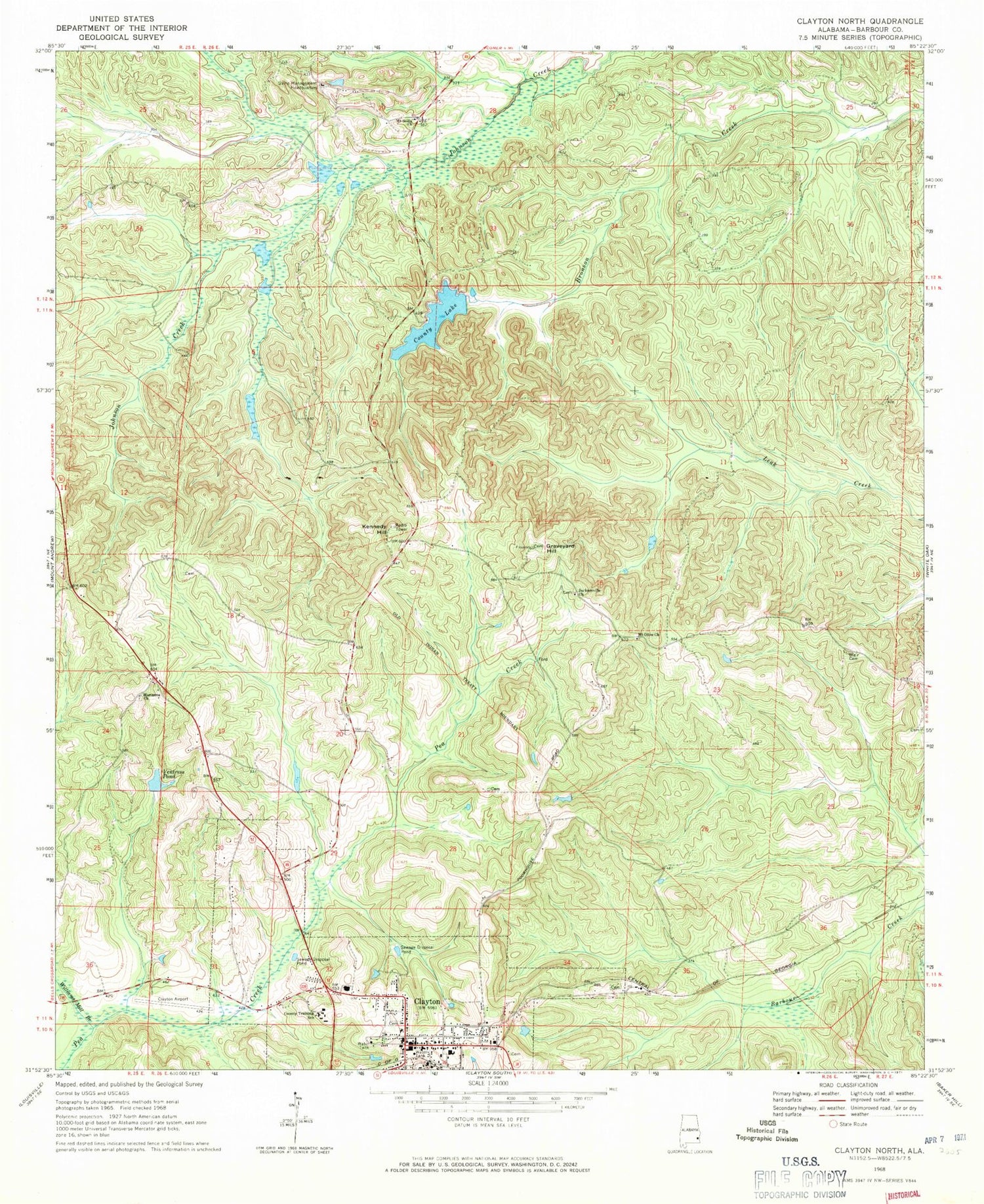
Historical USGS topographic quad map of Clayton North in the state of Alabama. Typical map scale is 1:24,000, but may vary for certain years, if available. Print size: 24" x 27"
This quadrangle is in the following counties: Barbour.
The map contains contour lines, roads, rivers, towns, and lakes. Printed on high-quality waterproof paper with UV fade-resistant inks, and shipped rolled.
Contains the following named places: Blair Cemetery, Clayton, County Lake, Graveyard Hill, Jacksonville Church, Kennedy Hill, Marianna Church, Ventress Pond, Williams Mill Branch, Barbour County Public Lake Dam, Barbour County Courthouse, Barbour County Training School, Clayton Baptist Church, Clayton Presbyterian Church, Eufaula District Academy (historical), Lavinia Church (historical), Mount Nebo Church (historical), Mount Olive (historical), Mount Scilla School, Nebo School (historical), Ventress Mill (historical), Mount Olive Church, Clayton United Methodist Church, Jacksonville Cemetery, Kennedy Lookout Tower, Mount Olive Cemetery, Mount Scilla Church, Clayton Municipal Airport, Clayton Division, Clayton Post Office, Barbour County Farm (historical), Nix Mill (historical), Clayton Cemetery, Town of Clayton, Clayton Fire and Rescue, Ventress Correctional Facility, Clayton Police Department, Barbour County Sheriff's Office